Ellenthorpe in the Domesday Book (1086)
Ellenthorpe is named in the Domesday Book, compiled by Norman commissioners in 1086, entered under the hundred of Craven in Yorkshire.
Other Settlements in Craven
- Addingham
- Airton
- Anley
- Appletreewick
- Arncliffe
- Arnford
- Barnoldswick
- Bashall [Eaves]
- Battersby [Barn]
- Beamsley
- Birkby [Hall]
- Bogeuurde
- Bolton [Abbey]
- Bolton [by Bowland]
The Meaning of the Name
The name Ellenthorpe is of Scandinavian origin. Its final element derives from the Old Norse word þorp, an outlying or secondary farmstead. The first element is most likely a personal name or an early descriptive term, now difficult to recover with certainty. Taken together the name probably meant something close to ‘a outlying farm’.
Names of this type are a fingerprint of Scandinavian settlement: they cluster across the old Danelaw, where Norse-speaking settlers renamed or founded villages from the late 9th century onward.
Remarkably, the name has changed little since 1086, when the Domesday scribes wrote it as Ellenthorpe.
Listed Buildings Near Ellenthorpe
Historic England records 14 listed buildings within about a mile of Ellenthorpe. Listing protects structures of special architectural or historic interest, graded I (exceptional), II* (particularly important) and II.
Grade I
- Gisburne Park - 0.97 km
Grade II*
- Park House - 0.63 km
- Pair of lodges at southern entrance to Gisburne Park with six stone piers and linking railings and gates - 1.28 km
Grade II
- The Huntsman’s House - 0.51 km
- Ellenthorpe Farmhouse - 0.54 km
- Gisburn Bridge - 0.6 km
- Mill Bridge Cottage, Gisburne Park - 0.61 km
- Horse Shelter Approximately 100 Metres North North West of Ellenthorpe Farmhouse - 0.69 km
- Dog Kennels by River Ribble, Approximately 90 Metres North East of Gisburn Bridge, Gisburne Park - 0.69 km
- The Temple, Approximately 130 Metres North North West of House - 1.07 km
- Poultry House Bridge - 1.15 km
- Keepers Cottages - 1.21 km
- Tunnel Entrance Approximately 70 Metres East of Mill Lane in Gisburne Park - 1.22 km
- Windy Pike Farmhouse - 1.25 km
Scheduled Monuments Near Ellenthorpe
Scheduled monuments are nationally important archaeological sites given legal protection. 1 lies within roughly a mile of Ellenthorpe:
- Little Painley bowl barrow - 1.4 km
Nearby Domesday Settlements
Other places recorded in the 1086 survey within a few miles:
- Raygill Moss - 1.0 km W
- Gisburn - 1.4 km SE
- Paythorne - 2.2 km NE
- Newsholme - 2.8 km NE
- Bolton by Bowland - 3.0 km W
- Painley - 3.2 km E
Heritage Around Ellenthorpe
Photographs of churches, listed buildings and monuments in the vicinity, contributed by volunteers to the Geograph project and reused here under a Creative Commons licence.
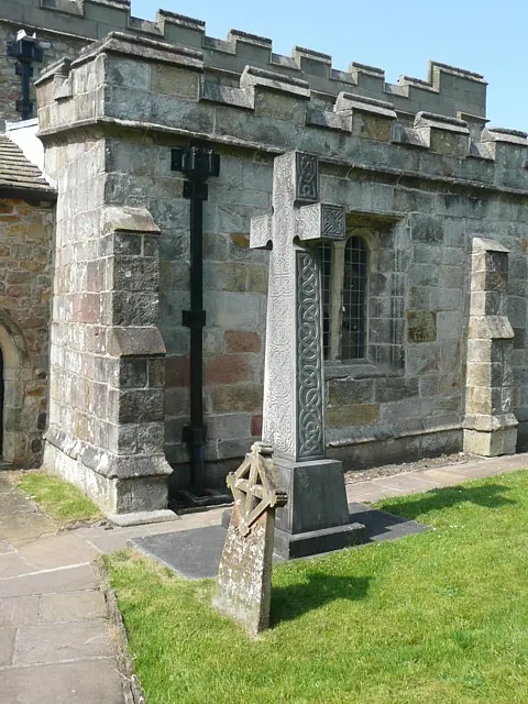
© Humphrey Bolton · Geograph · CC BY-SA 2.0
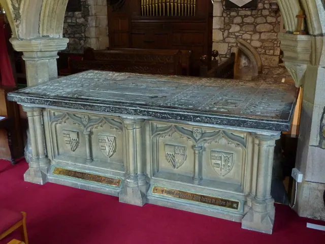
© Alexander P Kapp · Geograph · CC BY-SA 2.0
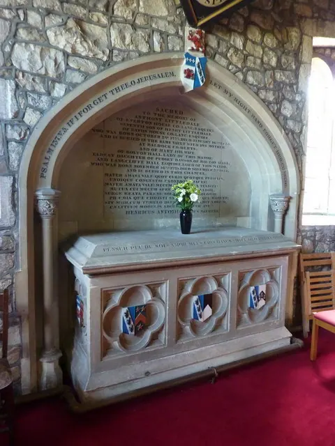
© Alexander P Kapp · Geograph · CC BY-SA 2.0
Images © their respective photographers, licensed under CC BY-SA 2.0 and reused here with attribution. Photographs depict listed buildings, churches and monuments near this settlement and may show neighbouring villages.
Data derived from the Open Domesday project (opendomesday.org), based on the Domesday Book dataset compiled by Professor J.J.N. Palmer and team. The Domesday Book (1086) is in the public domain.
Found an inaccuracy? [email protected]