Elland in the Domesday Book (1086)
The 1086 Domesday survey records the settlement of Elland, entered under the hundred of Morley in Yorkshire.
Other Settlements in Morley
- Allerton
- Armley
- Batley
- Beeston
- Bolton
- Bowling
- Bradford
- Bramley
- Calverley
- Carlton
- Chellow [Grange]
- Clayton
- Clifton
- Cruttonstall
The Meaning of the Name
The origin of the name Elland is not securely established from its modern form alone; like many settlement names in the North it likely combines an Old English or Old Norse personal name with a landscape term.
Remarkably, the name has changed little since 1086, when the Domesday scribes wrote it as Elland.
Listed Buildings Near Elland
Historic England records 47 listed buildings within about a mile of Elland. Listing protects structures of special architectural or historic interest, graded I (exceptional), II* (particularly important) and II.
Grade I
- Church of St Mary - 0.37 km
Grade II*
- The Fleece Inn - 0.48 km
Grade II
- Elland Bridge at Se 106 213 - 0.1 km
- Wharf Office at Se1068 2132 Calder and Hebble Navigation - 0.13 km
- Calder and Hebble Navigation, Canal Warehouse and Integral House at Elland Wharf Approximately 100 Metres of Elland Bridge - 0.13 km
- Milestone on Opposite Side to Long Lea Mill - 0.24 km
- Britannia Buildings - 0.24 km
- Exchange Mill (J. H. Cockroft’s) - 0.27 km
- Number 1 Dobson’s Yard - 0.34 km
- Rose and Crown, House Opposite West End of St Marys Church - 0.35 km
- The Savile Arms Hotel - 0.39 km
- 3 5 7, Southgate - 0.41 km
- Calder and Hebble Navigation Woodside Mills Lock and Bridge Approach - 0.48 km
- Milestone Opposite Number 19 - 0.53 km
- The Wellington Public House - 0.55 km
- Milepost Approximately 90 Metres South West of Elland Lock at Se 1101 2181 - 0.55 km
- 65 and 67, Southgate - 0.57 km
- 7, Timber Street - 0.61 km
- Forecourt Wall and Gatepiers of Providence United Reformed Church - 0.61 km
- Providence United Reformed Church - 0.62 km
- Calder and Hebble Navigation Elland Lock - 0.64 km
- Calder and Hebble Navigation Lock Keepers House on South Side of Elland Lock - 0.64 km
- Stocks in Garden to Side of Municipal Offices - 0.64 km
- Bethesda Methodist Church - 0.67 km
…and 23 more listed structures in the area.
Elland Today
Today Elland lies within the administrative area of Calderdale, and the settlement recorded a population of 11,676 at recent figures. Nine and a half centuries separate that figure from the small rural community the Domesday survey recorded here in 1086.
Read more about modern Elland on Wikipedia .
Nearby Domesday Settlements
Other places recorded in the 1086 survey within a few miles:
- Greetland - 2.0 km W
- Southowram - 2.2 km NE
- Old Lindley - 2.2 km SW
- Rastrick - 3.0 km E
- Lindley - 3.2 km S
- Stainland - 3.6 km SW
Heritage Around Elland
Photographs of churches, listed buildings and monuments in the vicinity, contributed by volunteers to the Geograph project and reused here under a Creative Commons licence.
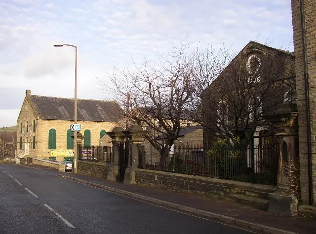
© Humphrey Bolton · Geograph · CC BY-SA 2.0
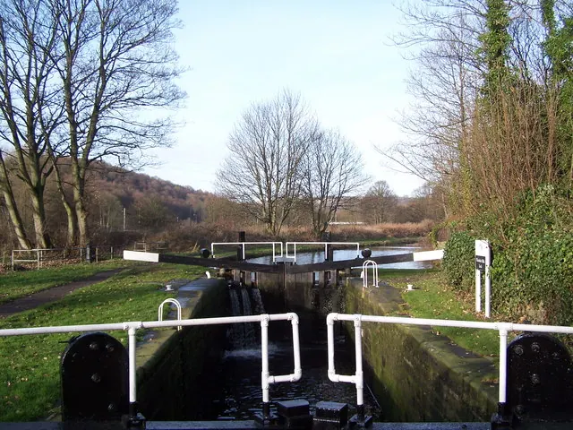
© Adam Brookes · Geograph · CC BY-SA 2.0
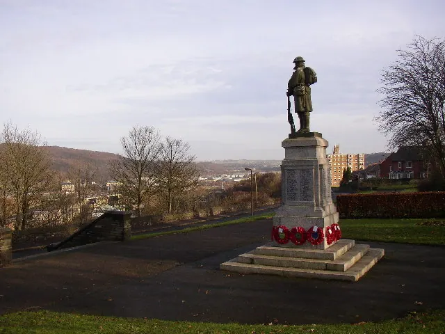
© Humphrey Bolton · Geograph · CC BY-SA 2.0
Images © their respective photographers, licensed under CC BY-SA 2.0 and reused here with attribution. Photographs depict listed buildings, churches and monuments near this settlement and may show neighbouring villages.
Data derived from the Open Domesday project (opendomesday.org), based on the Domesday Book dataset compiled by Professor J.J.N. Palmer and team. The Domesday Book (1086) is in the public domain.
Found an inaccuracy? [email protected]