Eldwick in the Domesday Book (1086)
Eldwick is named in the Domesday Book, compiled by Norman commissioners in 1086, entered under the hundred of Skyrack in Yorkshire.
Other Settlements in Skyrack
- Adel
- Allerton [Bywater]
- Alwoodley
- Arthington
- Austhorpe
- Baildon
- Bardsey
- Barwick [in Elmet]
- Bichertun
- Bicherun
- Bingley
- Birkby [Hill]
- Bramhope
- Burden [Head]
The Meaning of the Name
The name Eldwick is of Anglo-Saxon origin. Its final element derives from the Old English word wīc, a dwelling, dairy farm or trading settlement. The first element is most likely a personal name or an early descriptive term, now difficult to recover with certainty. Taken together the name probably meant something close to ‘a specialised farm’.
Remarkably, the name has changed little since 1086, when the Domesday scribes wrote it as Eldwick.
Listed Buildings Near Eldwick
Historic England records 12 listed buildings within about a mile of Eldwick. Listing protects structures of special architectural or historic interest, graded I (exceptional), II* (particularly important) and II.
Grade II
- Eldwick War Memorial - 0.07 km
- 1-5, Eldwick Beck - 0.11 km
- Spring Farmhouse - 0.13 km
- Cropper Fold Farm Barn - 0.45 km
- Cragg Wood Farmhouse - 0.48 km
- Moorland Grange Farmhouse - 0.71 km
- Enclosed Garden Wall and Gatepiers Attached to South Front of Eldwick Hall - 0.74 km
- Eldwick Hall - 0.75 km
- Gate Piers and Flanking Walls Approximately 15 Metres East of Eldwick Hall - 0.76 km
- Low House and Attached Barn - 1.02 km
- Toils Farmhouse and Attached Barn - 1.1 km
- Attached Barn Knapley Ing Cottage Knapley Ing Farmhouse - 1.16 km
Scheduled Monuments Near Eldwick
Scheduled monuments are nationally important archaeological sites given legal protection. 23 lie within roughly a mile of Eldwick:
- Cup-marked rock west of confluence of Lodepit Beck and Glovershaw Beck - 0.48 km
- Cup and groove-marked rock on east edge of Glovershaw quarry - 0.58 km
- Carved rock near north east corner of Glovershaw quarry - 0.58 km
- Cup-marked rock on slight bank north east of Glovershaw quarry - 0.58 km
- Small carved rock in path east of Glovershaw quarry - 0.6 km
- Small cup-marked rock 30m east of Glovershaw quarry - 0.61 km
- Boulder with prehistoric rock art at Glovershaw Farm - 0.62 km
- Southernmost of two cairns east of Glovershaw quarry - 0.66 km
- Northernmost of two cairns east of Glovershaw quarry, including adjacent cup-marked rock - 0.69 km
- Roadblock, Bracken Hall Green, Baildon Moor - 0.75 km
…and 13 more.
Eldwick Today
Today Eldwick lies within the administrative area of Bingley.
Read more about modern Eldwick on Wikipedia .
Nearby Domesday Settlements
Other places recorded in the 1086 survey within a few miles:
- Bingley - 2.2 km SW
- Micklethwaite - 2.2 km NW
- Marley - 3.0 km W
- Baildon - 3.2 km E
- Cottingley - 3.2 km S
- Halton - 3.6 km SW
Heritage Around Eldwick
Photographs of churches, listed buildings and monuments in the vicinity, contributed by volunteers to the Geograph project and reused here under a Creative Commons licence.
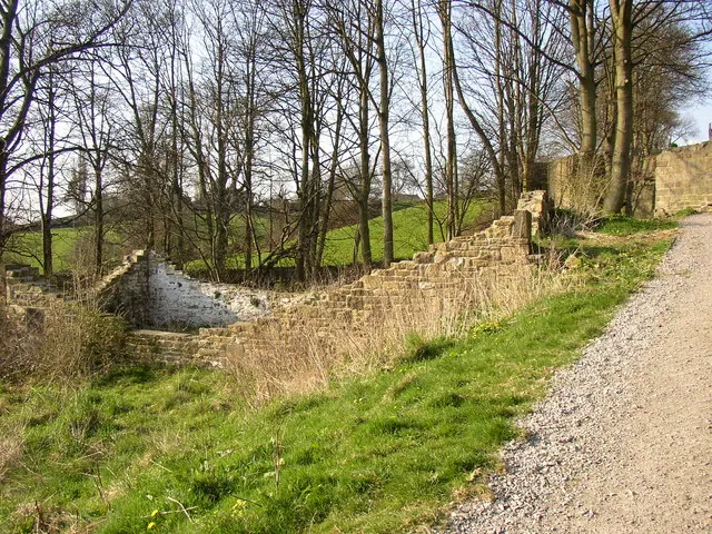
© Humphrey Bolton · Geograph · CC BY-SA 2.0
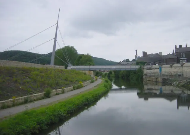
© Martin Clark · Geograph · CC BY-SA 2.0
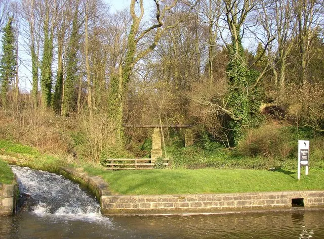
© Humphrey Bolton · Geograph · CC BY-SA 2.0
Images © their respective photographers, licensed under CC BY-SA 2.0 and reused here with attribution. Photographs depict listed buildings, churches and monuments near this settlement and may show neighbouring villages.
Data derived from the Open Domesday project (opendomesday.org), based on the Domesday Book dataset compiled by Professor J.J.N. Palmer and team. The Domesday Book (1086) is in the public domain.
Found an inaccuracy? [email protected]