Egglestone Abbey in the Domesday Book (1086)
Egglestone Abbey is named in the Domesday Book, compiled by Norman commissioners in 1086, entered under the hundred of Land of Count Alan in Yorkshire.
Other Settlements in Land of Count Alan
- Achebi
- Agglethorpe
- Ainderby [Mires]
- Ainderby [Quernhow]
- Aiskew
- Aldbrough
- Allerthorpe [Hall]
- Ascam
- Ascham
- Asebi
- Aske [Hall]
- Askrigg
- Aysgarth
- Baldersby
The Meaning of the Name
The origin of the name Egglestone Abbey is not securely established from its modern form alone; like many settlement names in the North it likely combines an Old English or Old Norse personal name with a landscape term.
Remarkably, the name has changed little since 1086, when the Domesday scribes wrote it as Egglestone Abbey.
Listed Buildings Near Egglestone Abbey
Historic England records 24 listed buildings within about a mile of Egglestone Abbey. Listing protects structures of special architectural or historic interest, graded I (exceptional), II* (particularly important) and II.
Grade I
- Ruins of Egglestone Abbey - 0.51 km
- Terrace Walls and Steps, and Heraldic Beasts, to South of Bowes Museum - 1.3 km
Grade II*
- Abbey Bridge - 0.54 km
- Chapel immediately east of Barnard Castle School - 1.04 km
- Entrance Gates and Lodges to Bowes Museum - 1.27 km
Grade II
- Road Bridge Over Thorsgill - 0.44 km
- Bow Bridge or Thorsgill Beck Packhorse Bridge - 0.45 km
- Abbey Mill House - 0.46 km
- The Old Smithy - 0.47 km
- Front Garden Walls to Abbey Mill House - 0.47 km
- Close Cottage Nether Westwick - 0.55 km
- Old Cottage 30 Metres North East of Abbey Cottages - 0.59 km
- Front Garden Walls to Numbers 1 to 4 Abbey Cottages - 0.6 km
- Front Garden Walls - 0.61 km
- Abbey Cottages - 0.61 km
- Privy Rows at Rear of Numbers 1 to 4 Abbey Cottages - 0.62 km
- Abbey Farmhouse - 0.63 km
- Barnard Castle School - 1.1 km
- Boundary Wall to Bowes Museum North, East and South Boundary Wall to Bowes Museum With North Piers and Gates - 1.17 km
- War memorial to south east of Bowes Museum - 1.21 km
- Bowling Club Pavilion Approximately 70 Metres to East of Bowes Museum - 1.24 km
- Spring Lodge Cottage - 1.28 km
- Hayloft and Dovecote Approximately 40 Metres East of Spring Lodge With Sheds, Kennels and Wall - 1.3 km
- Basin to South of Bowes Museum - 1.3 km
Scheduled Monuments Near Egglestone Abbey
Scheduled monuments are nationally important archaeological sites given legal protection. 3 lie within roughly a mile of Egglestone Abbey:
- Thorsgill Beck packhorse bridge - 0.45 km
- Egglestone Abbey Premonstratensian monastery: inner precinct, monastic enclosures and post-medieval house - 0.53 km
- Carved rock 160m north west of Abbey Farm - 0.58 km
Egglestone Abbey Today
Today Egglestone Abbey lies within the administrative area of County Durham, and the settlement recorded a population of 11 at the 2021 census. Nine and a half centuries separate that figure from the small rural community the Domesday survey recorded here in 1086.
Nearby Domesday Settlements
Other places recorded in the 1086 survey within a few miles:
- Startforth - 2.0 km W
- Mortham Tower - 2.2 km SE
- Rokeby Hall - 2.2 km SE
- Brignall - 3.2 km S
- Thorpe Hall - 4.1 km E
- Lartington - 4.5 km NW
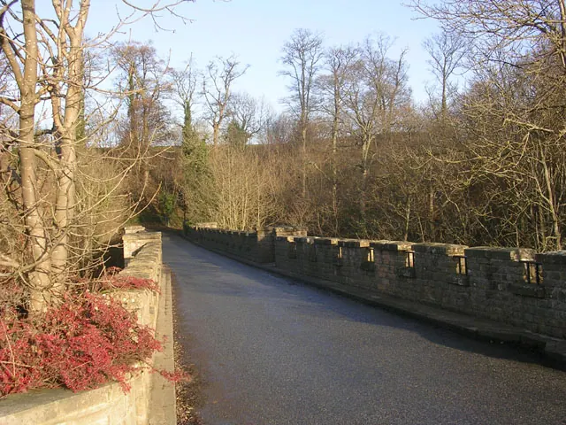
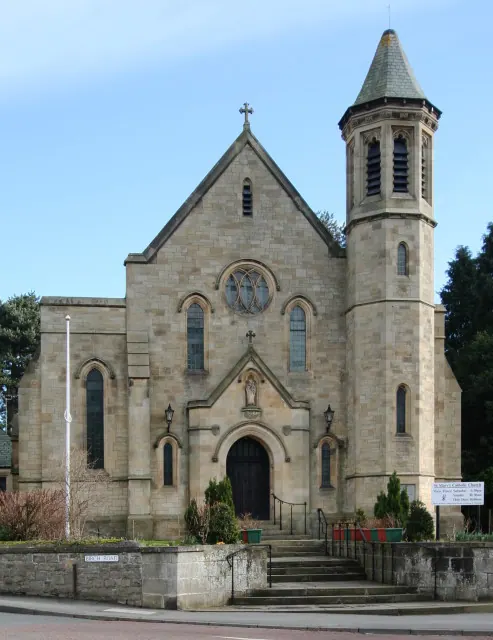
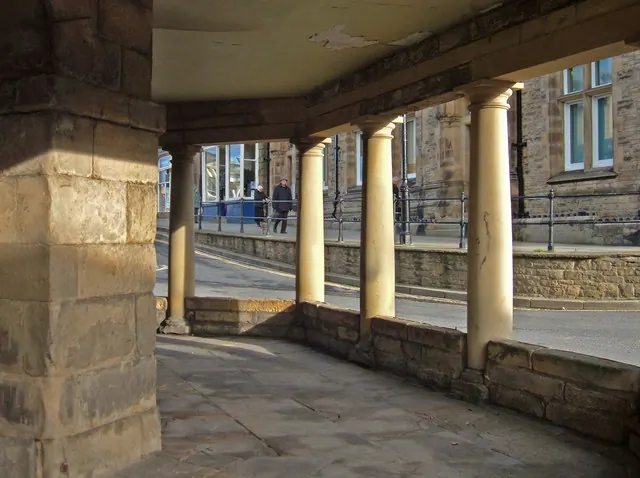
Heritage Around Egglestone [Abbey]
Photographs of churches, listed buildings and monuments in the vicinity, contributed by volunteers to the Geograph project and reused here under a Creative Commons licence.
© Oliver Dixon · Geograph · CC BY-SA 2.0
© Andy Waddington · Geograph · CC BY-SA 2.0
© michael ely · Geograph · CC BY-SA 2.0
Images © their respective photographers, licensed under CC BY-SA 2.0 and reused here with attribution. Photographs depict listed buildings, churches and monuments near this settlement and may show neighbouring villages.
Location
54.5346°N, -1.8995°W · Land of Count Alan hundred, Yorkshire
View larger map on OpenStreetMap →Data derived from the Open Domesday project (opendomesday.org), based on the Domesday Book dataset compiled by Professor J.J.N. Palmer and team. The Domesday Book (1086) is in the public domain.
Found an inaccuracy? [email protected]