Edensor in the Domesday Book (1086)
Edensor appears in the Domesday Book of 1086, entered under the hundred of Blackwell in Derbyshire.
Other Settlements in Blackwell
- Abney
- Ashford [-in-the-Water]
- Aston
- Bakewell
- Bamford
- Baslow
- Beeley
- Birchills
- Birchover
- Blackwell
- Bradwell
- Bubnell
- Burley
- Burton
The Meaning of the Name
The origin of the name Edensor is not securely established from its modern form alone; like many settlement names in the North it likely combines an Old English or Old Norse personal name with a landscape term.
Remarkably, the name has changed little since 1086, when the Domesday scribes wrote it as Edensor.
Listed Buildings Near Edensor
Historic England records 42 listed buildings within about a mile of Edensor. Listing protects structures of special architectural or historic interest, graded I (exceptional), II* (particularly important) and II.
Grade I
- Church of St Peter - 0.64 km
Grade II*
- Norman Villa and attached garden walls - 0.59 km
Grade II
- Top House - 0.35 km
- Moor View - 0.38 km
- Barbrook Cottage - 0.43 km
- Bank Top - 0.44 km
- The Bungalow - 0.46 km
- 1 and 2 Daisy Bank, and attached wall and outhouse - 0.49 km
- Rock Villa - 0.49 km
- Shepherds Cottage - 0.53 km
- Sunny Bank and Rose Cottage - 0.55 km
- The Cottage and Hollybush Cottage and attached garden wall - 0.58 km
- Chest Tomb to Sir Joseph Paxton 40 Metres South of Church of St Peter - 0.59 km
- The Old Vicarage - 0.62 km
- Deerlands, Coombe Cottage and Guide Cottage - 0.62 km
- The Vicarage - 0.63 km
- Edensor House - 0.64 km
- Churchyard Cross and Sundial 5 Metres South of South Chapel - 0.64 km
- Church View and attached garden walls - 0.64 km
- The Yews - 0.65 km
- House North of the Yews - 0.67 km
- School House and attached garden walls - 0.67 km
- K6 Telephone Kiosk Outside the Post Office - 0.69 km
- Post Office and Attached Cottage - 0.69 km
…and 18 more listed structures in the area.
Scheduled Monuments Near Edensor
Scheduled monuments are nationally important archaeological sites given legal protection. 4 lie within roughly a mile of Edensor:
- Bowl barrow on Calton Pastures, 625m WSW of Calton Houses - 1.32 km
- Bowl barrow on Calton Pastures, 950m west of Calton Houses - 1.37 km
- Bowl barrow on Calton Pastures, 600m south-west of Calton Houses - 1.48 km
- Bowl barrow on Calton Pastures, 1200m west of Calton Houses - 1.52 km
Edensor Today
Today Edensor lies within the administrative area of Derbyshire Dales, and the settlement recorded a population of 138 at the 2021 census. Nine and a half centuries separate that figure from the small rural community the Domesday survey recorded here in 1086.
Read more about modern Edensor on Wikipedia .
Nearby Domesday Settlements
Other places recorded in the 1086 survey within a few miles:
Heritage Around Edensor
Photographs of churches, listed buildings and monuments in the vicinity, contributed by volunteers to the Geograph project and reused here under a Creative Commons licence.
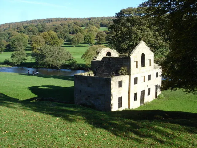
© Roger McLachlan · Geograph · CC BY-SA 2.0
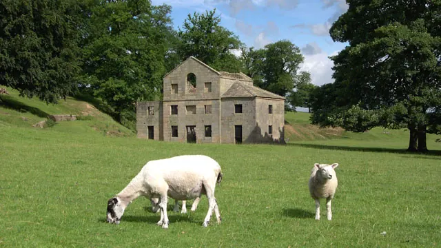
© Peter Tarleton · Geograph · CC BY-SA 2.0
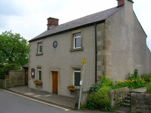
© John H Darch · Geograph · CC BY-SA 2.0
Images © their respective photographers, licensed under CC BY-SA 2.0 and reused here with attribution. Photographs depict listed buildings, churches and monuments near this settlement and may show neighbouring villages.
Data derived from the Open Domesday project (opendomesday.org), based on the Domesday Book dataset compiled by Professor J.J.N. Palmer and team. The Domesday Book (1086) is in the public domain.
Found an inaccuracy? [email protected]