Eddisbury in the Domesday Book (1086)
The 1086 Domesday survey records the settlement of Eddisbury, entered under the hundred of Ruloe in Cheshire.
Other Settlements in Ruloe
- Aldredelie
- Alvanley
- Conersley
- Done
- Dunham [on the Hill]
- Elton
- Frodsham
- Hartford
- Helsby
- Ince
- Kingsley
- Manley
- Thornton [le Moors]
- Weaverham
The Meaning of the Name
The name Eddisbury is of Anglo-Saxon origin. Its final element derives from the Old English word burh, a fortified place. The first element is most likely a personal name or an early descriptive term, now difficult to recover with certainty. Taken together the name probably meant something close to ‘a stronghold’.
Remarkably, the name has changed little since 1086, when the Domesday scribes wrote it as Eddisbury.
Listed Buildings Near Eddisbury
Historic England records 6 listed buildings within about a mile of Eddisbury. Listing protects structures of special architectural or historic interest, graded I (exceptional), II* (particularly important) and II.
Grade II
- Church of St Peter - 0.99 km
- Sundial in the Churchyard of St Peter - 1.0 km
- Delamere School - 1.08 km
- Milepost 70 Metres East of Junction With Stoney Lane - 1.08 km
- The Vale Royal Abbey Arms - 1.12 km
- Stables at the Vale Royal Abbey Arms - 1.14 km
Scheduled Monuments Near Eddisbury
Scheduled monuments are nationally important archaeological sites given legal protection. 2 lie within roughly a mile of Eddisbury:
- Eddisbury hillfort east of Old Pale Farm - 0.29 km
- Roman road, Thieves Moss, Delamere Forest - 0.68 km
Eddisbury Today
Today Eddisbury lies within the administrative area of Kelsall.
Nearby Domesday Settlements
Other places recorded in the 1086 survey within a few miles:
- Willington - 2.8 km SW
- Cocle - 3.2 km W
- Alretone - 4.1 km S
- Ashton - 5.0 km W
- Aldredelie - 5.1 km N
- Kingsley - 5.1 km N
Heritage Around Eddisbury
Photographs of churches, listed buildings and monuments in the vicinity, contributed by volunteers to the Geograph project and reused here under a Creative Commons licence.
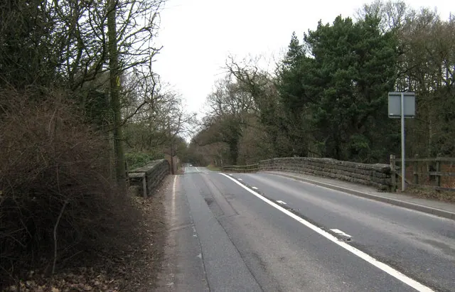
© Jonathan Kington · Geograph · CC BY-SA 2.0
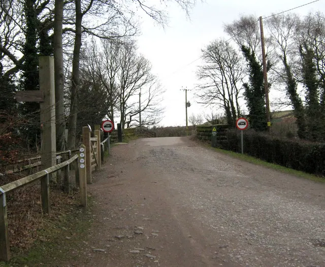
© Jonathan Kington · Geograph · CC BY-SA 2.0
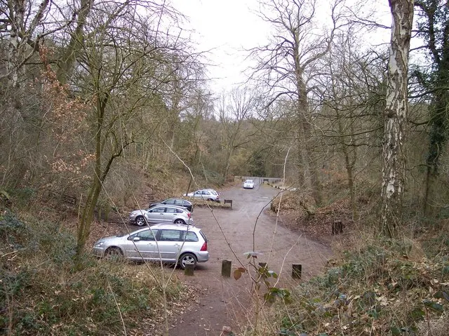
© Raymond Knapman · Geograph · CC BY-SA 2.0
Images © their respective photographers, licensed under CC BY-SA 2.0 and reused here with attribution. Photographs depict listed buildings, churches and monuments near this settlement and may show neighbouring villages.
Data derived from the Open Domesday project (opendomesday.org), based on the Domesday Book dataset compiled by Professor J.J.N. Palmer and team. The Domesday Book (1086) is in the public domain.
Found an inaccuracy? [email protected]