Eckington in the Domesday Book (1086)
Eckington appears in the Domesday Book of 1086, entered under the hundred of Scarsdale in Derbyshire. The survey assessed Eckington at 16 carucates of taxable land.
The survey lists 2 manors at Eckington under different lords. Splitting a single settlement between multiple tenants was common across the North – Saxon estates broken up and handed to William’s followers after 1066.
Other Settlements in Scarsdale
- Alfreton
- Ashover
- Barlborough
- Barlow
- Beighton
- Blingsby
- Bolsover
- Boythorpe
- Bramley [Vale]
- Brimington
- Calow
- Chesterfield
- Clowne
- Dore
The Meaning of the Name
The name Eckington is of Anglo-Saxon origin. Its final element derives from the Old English word tūn, a farmstead or village. The first element is most likely a personal name or an early descriptive term, now difficult to recover with certainty. Taken together the name probably meant something close to ‘a farmstead’.
Remarkably, the name has changed little since 1086, when the Domesday scribes wrote it as Eckington.
Listed Buildings Near Eckington
Historic England records 35 listed buildings within about a mile of Eckington. Listing protects structures of special architectural or historic interest, graded I (exceptional), II* (particularly important) and II.
Grade I
Grade II*
- The Rectory - 0.69 km
Grade II
- Methodist Chapel - 0.29 km
- Green Hall Farmhouse - 0.31 km
- Numbers 125 and 127 and Attached Outbuilding to East - 0.32 km
- 131, 133 and 135, High Street - 0.36 km
- Numbers 24-28 (Even) Including Premises Occupied by Scarlett Ribbons, New Wizard and Woodheads - 0.42 km
- The Angel Hotel - 0.42 km
- 13-19, Market Street - 0.44 km
- 74, Church Street - 0.45 km
- 68 and 70, Church Street - 0.46 km
- Camms House - 0.47 km
- 35, Church Street - 0.47 km
- The Hollies - 0.52 km
- Southgate Old House - 0.58 km
- Malthouse Farmhouse - 0.63 km
- Barn to North West of Malthouse Farmhouse - 0.63 km
- Monument of the South East Corner of the South Aisle of Eckington Parish Church - 0.68 km
- Entrance Gatepiers and Attached Boundary Wall to Eckington Rectory - 0.68 km
- Rectory Cottage - 0.7 km
- The Green - 0.76 km
- 28, Church Street - 0.77 km
- Garden Walls, Pergolas and Gate to Landscape Garden and to Water Garden at the Green - 0.79 km
- Coldwell Cottage - 0.81 km
…and 11 more listed structures in the area.
Scheduled Monuments Near Eckington
Scheduled monuments are nationally important archaeological sites given legal protection. 2 lie within roughly a mile of Eckington:
- Plumbley Colliery including Seldom Seen engine house, 600m north east of Roundhill Cottages - 0.72 km
- Tramway embankment - 1.13 km
Eckington Today
Today Eckington lies within the administrative area of North East Derbyshire, and the settlement recorded a population of 11,845 at the 2021 census. Nine and a half centuries separate that figure from the small rural community the Domesday survey recorded here in 1086.
Read more about modern Eckington on Wikipedia .
Nearby Domesday Settlements
Other places recorded in the 1086 survey within a few miles:
- Mosborough - 2.0 km N
- Killamarsh - 3.2 km E
- Middle, Nether and West Handley - 3.6 km SW
- Beighton - 4.5 km NE
- Staveley - 5.1 km S
- Unstone - 5.4 km W
Heritage Around Eckington
Photographs of churches, listed buildings and monuments in the vicinity, contributed by volunteers to the Geograph project and reused here under a Creative Commons licence.
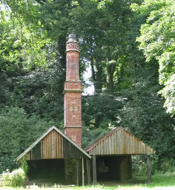
© Dennis Thorley · Geograph · CC BY-SA 2.0
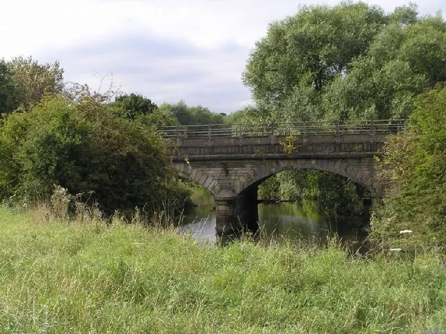
© David Morris · Geograph · CC BY-SA 2.0
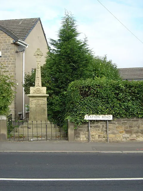
© Alan Murray-Rust · Geograph · CC BY-SA 2.0
Images © their respective photographers, licensed under CC BY-SA 2.0 and reused here with attribution. Photographs depict listed buildings, churches and monuments near this settlement and may show neighbouring villages.
Data derived from the Open Domesday project (opendomesday.org), based on the Domesday Book dataset compiled by Professor J.J.N. Palmer and team. The Domesday Book (1086) is in the public domain.
Found an inaccuracy? [email protected]