Eccleshill in the Domesday Book (1086)
The settlement of Eccleshill is recorded in William I’s Domesday survey of 1086, entered under the hundred of Morley in Yorkshire.
Other Settlements in Morley
- Allerton
- Armley
- Batley
- Beeston
- Bolton
- Bowling
- Bradford
- Bramley
- Calverley
- Carlton
- Chellow [Grange]
- Clayton
- Clifton
- Cruttonstall
The Meaning of the Name
The origin of the name Eccleshill is not securely established from its modern form alone; like many settlement names in the North it likely combines an Old English or Old Norse personal name with a landscape term.
Remarkably, the name has changed little since 1086, when the Domesday scribes wrote it as Eccleshill.
Listed Buildings Near Eccleshill
Historic England records 50 listed buildings within about a mile of Eccleshill. Listing protects structures of special architectural or historic interest, graded I (exceptional), II* (particularly important) and II.
Grade II
- 3A, Lands Lane Bd2 - 0.39 km
- Ukrainian Autocephalic Orthodox Church - 0.49 km
- 702 and 704, Harrogate Road - 0.51 km
- Coach House/stable Block to East of Numbers 702 and 704 - 0.52 km
- Royal Oak Public House - 0.53 km
- 9, Stony Lane Bd2 - 0.62 km
- Mechanics Institute - 0.68 km
- 2 and 4, Moorside Road Bd2 - 0.69 km
- Workshop/barn to Rear of Number 10 - 0.71 km
- 82, Stone Hall Road Bd2 - 0.72 km
- 3, Moorside Road Bd2 - 0.73 km
- 78 and 80, Stone Hall Road Bd2 - 0.73 km
- 14, Moorside Road Bd2 - 0.73 km
- Old Stone Hall - 0.74 km
- 73, 75 and 77, Stone Hall Road Bd2 - 0.76 km
- 31, Moorside Road Bd2 - 0.81 km
- Haigh Hall - 0.82 km
- 2 and 4, Haigh Hall - 0.84 km
- 1-23, Moorwell Place Bd2 - 0.85 km
- 28 and 30 Back Stone Hall Road - 0.88 km
- 153, Carr Bottom Road - 0.94 km
- 159, New Line Bd10 - 0.94 km
- 161, 163 and 165, New Line Bd10 - 0.94 km
- Greengates War Memorial in Garden of Remembrance - 0.94 km
…and 26 more listed structures in the area.
Eccleshill Today
Today Eccleshill lies within the administrative area of Bradford, and the settlement recorded a population of 17,945 at recent figures. Nine and a half centuries separate that figure from the small rural community the Domesday survey recorded here in 1086.
Read more about modern Eccleshill on Wikipedia .
Nearby Domesday Settlements
Other places recorded in the 1086 survey within a few miles:
Heritage Around Eccleshill
Photographs of churches, listed buildings and monuments in the vicinity, contributed by volunteers to the Geograph project and reused here under a Creative Commons licence.
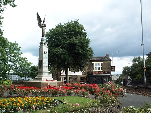
© David Spencer · Geograph · CC BY-SA 2.0
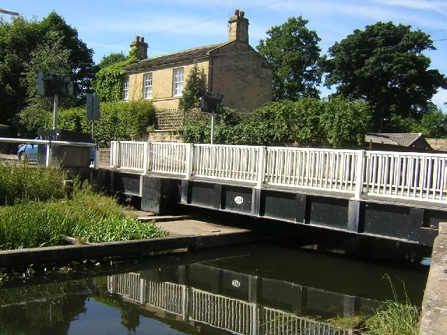
© Mark Morton · Geograph · CC BY-SA 2.0
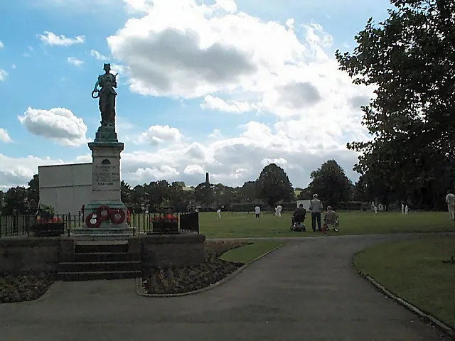
© David Spencer · Geograph · CC BY-SA 2.0
Images © their respective photographers, licensed under CC BY-SA 2.0 and reused here with attribution. Photographs depict listed buildings, churches and monuments near this settlement and may show neighbouring villages.
Data derived from the Open Domesday project (opendomesday.org), based on the Domesday Book dataset compiled by Professor J.J.N. Palmer and team. The Domesday Book (1086) is in the public domain.
Found an inaccuracy? [email protected]