Eaton in the Domesday Book (1086)
Eaton appears in the Domesday Book of 1086, entered under the hundred of Duddeston in Cheshire.
Other Settlements in Duddeston
- Bettisfield
- Bickerton
- Bickley
- Boughton
- Broxton
- Burwardestone
- Burwardsley and [Higher] Burwardsley
- Caldecott
- Calvintone
- Cheaveley
- Cholmondeley
- Chowley
- Christleton
- Clutton
The Meaning of the Name
The name Eaton is of Anglo-Saxon origin. Its final element derives from the Old English word tūn, a farmstead or village. The first element is most likely a personal name or an early descriptive term, now difficult to recover with certainty. Taken together the name probably meant something close to ‘a farmstead’.
Remarkably, the name has changed little since 1086, when the Domesday scribes wrote it as Eaton.
Listed Buildings Near Eaton
Historic England records 72 listed buildings within about a mile of Eaton. Listing protects structures of special architectural or historic interest, graded I (exceptional), II* (particularly important) and II.
Grade II*
Grade II
- Loggia at South End of Broad Walk - 0.07 km
- Column East of Loggia at South End of Broad Walk - 0.07 km
- Column West of Loggia at South End of Broad Walk - 0.08 km
- Gates, Overthrow and Piers Approximately 80 Metres East of Dutch Tea Garden - 0.1 km
- Pair of Gates and Overthrow North of Tea House, Across Path to Broad Walk - 0.11 km
- Tea House at North End of Dutch Garden - 0.11 km
- Railing to South Side of Middle Terrace - 0.2 km
- Retaining Walls of Oval Pond With Flat Raised Surround at Centre of Broad Walk - 0.21 km
- Retaining Walls and Paired Flights of Steps at East End of Central Terrace - 0.22 km
- Pair of Folding Gates With Screens and Piers at South End of Southern Gardens - 0.22 km
- Equestrian Statue South of Canal on Central Terrace - 0.22 km
- Retaining Walls to Dragon Fountain Pool - 0.23 km
- Dragon Fountain - 0.23 km
- Statue of Joan of Eaton North East of Dragon Fountain - 0.24 km
- Retaining Walls of Axial Canal on Central Terrace - 0.24 km
- Statue of the Norman Bishop Odo North-west of Dragon Fountain - 0.25 km
- Southern Retaining Wall to Upper Terrace - 0.25 km
- Statue (Stag at Bay) North of Canal on Central Terrace - 0.26 km
- Retaining Wall to Upper (Western) Terrace, Steps and Wall of Fountain Pond - 0.27 km
- Railing to North Side of Middle Terrace - 0.28 km
- Large Urn East of Fish Pond - 0.28 km
- Coachmore Hill Lodge - 0.33 km
- Retaining Walls to Pond Containing Equestrian Statue of Hugh Lupus - 0.35 km
…and 48 more listed structures in the area.
Scheduled Monuments Near Eaton
Scheduled monuments are nationally important archaeological sites given legal protection. 1 lies within roughly a mile of Eaton:
Eaton Today
Today Eaton lies within the administrative area of Cheshire West and Chester.
Read more about modern Eaton on Wikipedia .
Nearby Domesday Settlements
Other places recorded in the 1086 survey within a few miles:
- Cheaveley - 1.4 km NE
- Poulton - 1.4 km SW
- Eccleston - 2.0 km N
- Lea Newbold - 2.2 km SE
- Huntington - 2.2 km NE
- Pulford - 3.2 km W
Heritage Around Eaton
Photographs of churches, listed buildings and monuments in the vicinity, contributed by volunteers to the Geograph project and reused here under a Creative Commons licence.
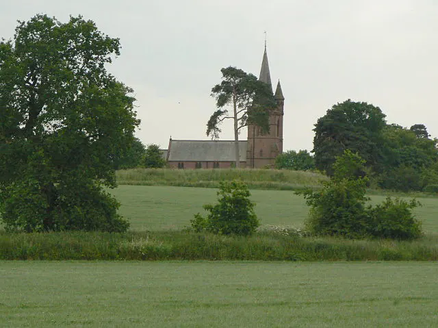
© Alan Murray-Rust · Geograph · CC BY-SA 2.0
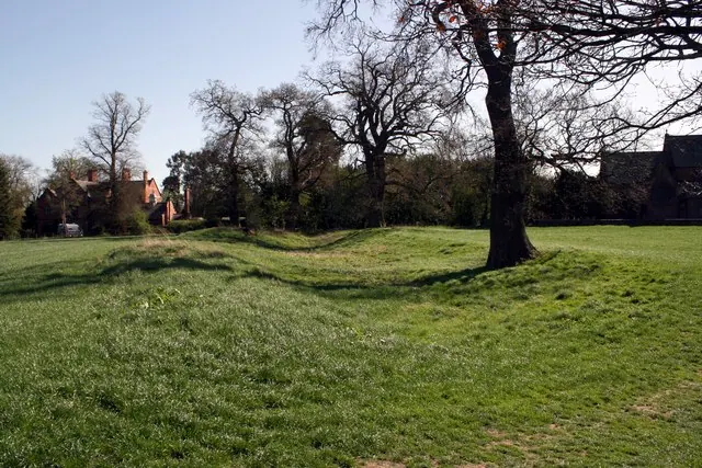
© Jeff Buck · Geograph · CC BY-SA 2.0
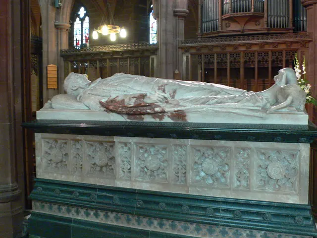
© Eirian Evans · Geograph · CC BY-SA 2.0
Images © their respective photographers, licensed under CC BY-SA 2.0 and reused here with attribution. Photographs depict listed buildings, churches and monuments near this settlement and may show neighbouring villages.
Data derived from the Open Domesday project (opendomesday.org), based on the Domesday Book dataset compiled by Professor J.J.N. Palmer and team. The Domesday Book (1086) is in the public domain.
Found an inaccuracy? [email protected]