Eastrington in the Domesday Book (1086)
Eastrington is named in the Domesday Book, compiled by Norman commissioners in 1086, entered under the hundred of Howden in Yorkshire.
Other Settlements in Howden
- Asselby
- Babthorpe
- Barlby
- Barmby [on the Marsh]
- Barnhill [Hall]
- Belby [House]
- Bowthorpe
- Brackenholme
- Burland [House]
- Cavil
- Cliffe
- Cotness [Hall]
- Hagthorpe
- Hemingbrough
The Meaning of the Name
The name Eastrington is of Anglo-Saxon origin. Its final element derives from the Old English word tūn, a farmstead or village, while the first element appears to represent the eastern. Taken together the name probably meant something close to ’the eastern farmstead’.
Remarkably, the name has changed little since 1086, when the Domesday scribes wrote it as Eastrington.
Listed Buildings Near Eastrington
Historic England records 8 listed buildings within about a mile of Eastrington. Listing protects structures of special architectural or historic interest, graded I (exceptional), II* (particularly important) and II.
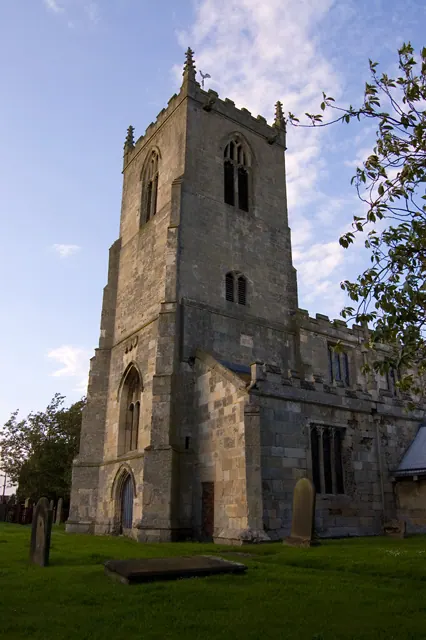
Grade I
- Church of St Michael - 0.51 km
Grade II
- The Laurels - 0.39 km
- Moss Farmhouse - 0.42 km
- The Manor House - 0.45 km
- The Old Vicarage - 0.53 km
- East Lynton Farmhouse - 1.18 km
- Barn at Newland Gate - 1.19 km
- Newland Gate - 1.2 km
Scheduled Monuments Near Eastrington
Scheduled monuments are nationally important archaeological sites given legal protection. 2 lie within roughly a mile of Eastrington:
- Moated site at Newland Farm - 0.77 km
- Moated site at Manor Farm, Portington - 1.58 km
Eastrington Today
Today Eastrington lies within the administrative area of East Riding of Yorkshire, and the settlement recorded a population of 1,150 at the 2021 census. Nine and a half centuries separate that figure from the small rural community the Domesday survey recorded here in 1086.
Read more about modern Eastrington on Wikipedia .
Nearby Domesday Settlements
Other places recorded in the 1086 survey within a few miles:
- Owsthorpe - 1.4 km NE
- Portington - 1.4 km NW
- Belby House - 2.0 km W
- Burland House - 2.2 km NW
- Cavil - 2.2 km NW
- Thorpe Lidget - 3.0 km W
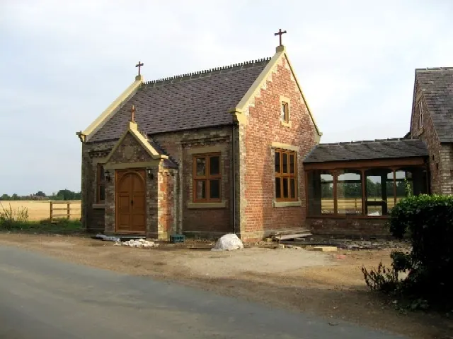
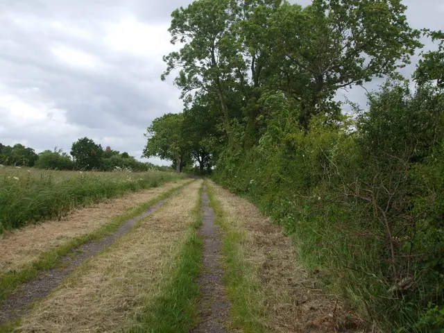
Heritage Around Eastrington
Photographs of churches, listed buildings and monuments in the vicinity, contributed by volunteers to the Geograph project and reused here under a Creative Commons licence.
© Paul Harrop · Geograph · CC BY-SA 2.0
© Roger Gilbertson · Geograph · CC BY-SA 2.0
© Glyn Drury · Geograph · CC BY-SA 2.0
Images © their respective photographers, licensed under CC BY-SA 2.0 and reused here with attribution. Photographs depict listed buildings, churches and monuments near this settlement and may show neighbouring villages.
Data derived from the Open Domesday project (opendomesday.org), based on the Domesday Book dataset compiled by Professor J.J.N. Palmer and team. The Domesday Book (1086) is in the public domain.
Found an inaccuracy? [email protected]