Easthorpe House in the Domesday Book (1086)
Easthorpe House appears in the Domesday Book of 1086, entered under the hundred of Dic in Yorkshire.
Other Settlements in Dic
- Aislaby
- Allerston
- Appleton [le Moors]
- Aschelesmersc
- Aschilesmares
- Barton [le Street]
- Baschebi
- Baschesbi
- Brompton
- Burniston
- Burton [Dale]
- Cawthorn
- Cayton
- Chigogemers
The Meaning of the Name
The name Easthorpe House is of Scandinavian origin. Its final element derives from the Old Norse word þorp, an outlying or secondary farmstead, while the first element appears to represent the eastern. Taken together the name probably meant something close to ’the eastern outlying farm’.
Names of this type are a fingerprint of Scandinavian settlement: they cluster across the old Danelaw, where Norse-speaking settlers renamed or founded villages from the late 9th century onward.
Remarkably, the name has changed little since 1086, when the Domesday scribes wrote it as Easthorpe House.
Listed Buildings Near Easthorpe House
Historic England records 2 listed buildings within about a mile of Easthorpe House. Listing protects structures of special architectural or historic interest, graded I (exceptional), II* (particularly important) and II.
Grade II
- Gate Piers and Screen Walls - 0.12 km
- Hilltop Cottage - 0.36 km
Scheduled Monuments Near Easthorpe House
Scheduled monuments are nationally important archaeological sites given legal protection. 6 lie within roughly a mile of Easthorpe House:
- Round barrow 380m NNW of Easthorpe Lodge - 0.66 km
- Round barrow 360m north of Easthorpe Lodge - 0.68 km
- Round barrow 330m north of Easthorpe Lodge - 0.7 km
- Round barrow 310m NNE of Easthorpe Lodge - 0.74 km
- Round barrow 250m NNE of Easthorpe Cottages - 0.81 km
- Cross dyke 600m north west of Easthorpe Farm - 0.93 km
Easthorpe House Today
Today Easthorpe House lies within the administrative area of Appleton-le-Street with Easthorpe.
Read more about modern Easthorpe on Wikipedia .
Nearby Domesday Settlements
Other places recorded in the 1086 survey within a few miles:
- Hildenley Hall - 1.4 km SE
- Coneysthorpe - 2.0 km W
- Appleton le Street - 2.0 km N
- Henderskelfe - 2.2 km SW
- Amotherby - 2.8 km NE
- Swinton - 2.8 km NE
Heritage Around Easthorpe [House]
Photographs of churches, listed buildings and monuments in the vicinity, contributed by volunteers to the Geograph project and reused here under a Creative Commons licence.
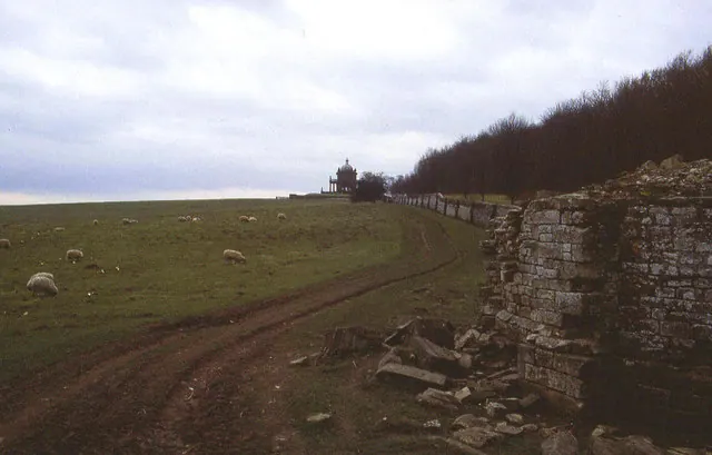
© Chris Heaton · Geograph · CC BY-SA 2.0
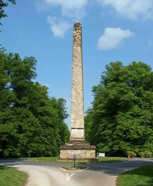
© Steve Fareham · Geograph · CC BY-SA 2.0
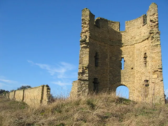
© Chris McLean · Geograph · CC BY-SA 2.0
Images © their respective photographers, licensed under CC BY-SA 2.0 and reused here with attribution. Photographs depict listed buildings, churches and monuments near this settlement and may show neighbouring villages.
Data derived from the Open Domesday project (opendomesday.org), based on the Domesday Book dataset compiled by Professor J.J.N. Palmer and team. The Domesday Book (1086) is in the public domain.
Found an inaccuracy? [email protected]