Eastburn in the Domesday Book (1086)
Eastburn appears in the Domesday Book of 1086, entered under the hundred of Craven in Yorkshire. The survey assessed Eastburn at 12 carucates of taxable land.
At the time of the survey, Eastburn supported a recorded population of 3 villagers, 13 slaves, working 8 ploughs between them.
The survey records Eastburn’s value at 13.75 shillings in 1086. No pre-Conquest figure survives – not unusual in the North, where records were disrupted by the Harrying and by the patchy coverage of the survey.
Resources Recorded at Eastburn (1086)
- Mills: 2 mills (valued at 3.25 shillings)
- Meadow: 35 acres
Other Settlements in Craven
- Addingham
- Airton
- Anley
- Appletreewick
- Arncliffe
- Arnford
- Barnoldswick
- Bashall [Eaves]
- Battersby [Barn]
- Beamsley
- Birkby [Hall]
- Bogeuurde
- Bolton [Abbey]
- Bolton [by Bowland]
The Meaning of the Name
The origin of the name Eastburn is not securely established from its modern form alone; like many settlement names in the North it likely combines an Old English or Old Norse personal name with a landscape term.
Remarkably, the name has changed little since 1086, when the Domesday scribes wrote it as Eastburn.
Listed Buildings Near Eastburn
Historic England records 21 listed buildings within about a mile of Eastburn. Listing protects structures of special architectural or historic interest, graded I (exceptional), II* (particularly important) and II.
Grade II
- Curregate Nursing Home - 0.18 km
- Steeton Manor Including Balustrade and Steps - 0.24 km
- Barn 15 Metres North East of Eastburn House - 0.48 km
- Eastburn House - 0.5 km
- The Hob Hill - 0.61 km
- Ivy House - 0.74 km
- Milestone to Front of Number 52 - 0.76 km
- 14, 16, 18 and 20, High Street - 0.76 km
- 23, Lyon Road - 0.76 km
- St Stephen’s Sunday School - 0.78 km
- Ww2 Pillbox and 2 Fire Posts South of Former Royal Ordnance Factory - 0.78 km
- The High Hall, Upper Hall, Emsley House - 0.79 km
- Church of St. Stephen and attached wall and entrance gate-piers and gates - 0.79 km
- Woodlands Mill - 0.79 km
- Walls and 2 Entrance Gate Piers Including Gates and Railings to South East of the Hall - 0.81 km
- Barn 12 Metres North East of the High Hall - 0.82 km
- 1 and 2, St Stephen’s Road - 0.83 km
- Steeton Hall Farm - 0.83 km
- Milestone to Front of Number 10 - 0.87 km
- Ingle Nook - 0.87 km
- Steeton Hall the Low Hall - 0.97 km
Eastburn Today
Today Eastburn lies within the administrative area of Steeton with Eastburn, and the settlement recorded a population of 1,614 at recent figures. Nine and a half centuries separate that figure from the small rural community the Domesday survey recorded here in 1086.
Read more about modern Eastburn on Wikipedia .
Nearby Domesday Settlements
Other places recorded in the 1086 survey within a few miles:
Heritage Around Eastburn
Photographs of churches, listed buildings and monuments in the vicinity, contributed by volunteers to the Geograph project and reused here under a Creative Commons licence.
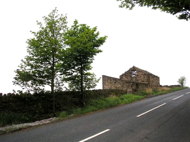
© Dr Neil Clifton · Geograph · CC BY-SA 2.0
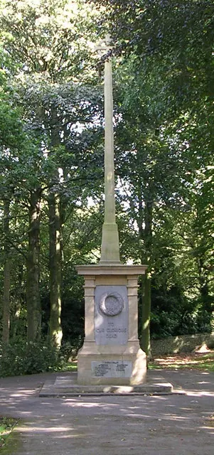
© Betty Longbottom · Geograph · CC BY-SA 2.0
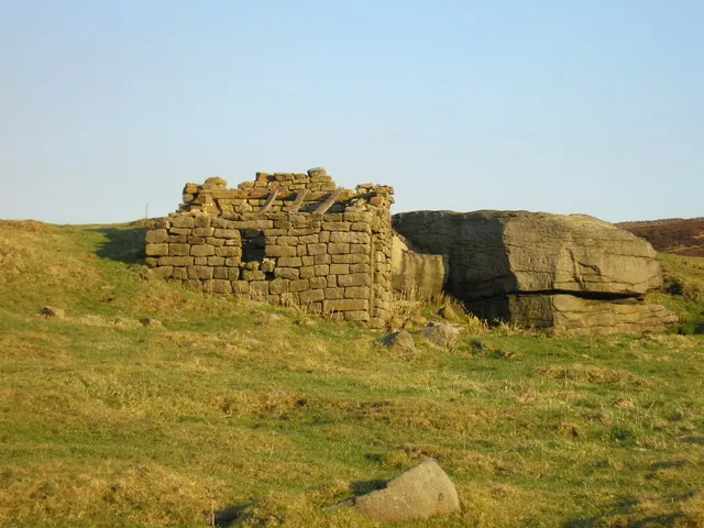
© John Illingworth · Geograph · CC BY-SA 2.0
Images © their respective photographers, licensed under CC BY-SA 2.0 and reused here with attribution. Photographs depict listed buildings, churches and monuments near this settlement and may show neighbouring villages.
Data derived from the Open Domesday project (opendomesday.org), based on the Domesday Book dataset compiled by Professor J.J.N. Palmer and team. The Domesday Book (1086) is in the public domain.
Found an inaccuracy? [email protected]