East Tanfield in the Domesday Book (1086)
The 1086 Domesday survey records the settlement of East Tanfield, entered under the hundred of Hallikeld in Yorkshire. The survey assessed East Tanfield at 132 carucates of taxable land.
Most significantly, East Tanfield is recorded as waste in 1086 - land rendered uninhabitable and valueless. Before the Conquest, the settlement had been assessed at 80.5 shillings; by 1086 that value had collapsed entirely. This pattern - prosperity before 1066, devastation by 1086 - is the unmistakable signature of the Harrying of the North , William I’s campaign of systematic destruction across Yorkshire in 1069–70.
The survey lists 2 manors at East Tanfield under different lords. Splitting a single settlement between multiple tenants was common across the North – Saxon estates broken up and handed to William’s followers after 1066.
Resources Recorded at East Tanfield (1086)
- Meadow: 100 None
- Woodland: 5 * 5 None
Other Settlements in Hallikeld
- Brampton [Hall]
- Caldeuuelle
- Cundall
- Dishforth
- Ellenthorpe [Hall]
- Givendale
- Hashundebi
- Holme
- Howgrave
- Hutton [Conyers]
- Kirby [Hill]
- Leckby [Palace]
- Markington
- Milby
The Meaning of the Name
The name East Tanfield is of Anglo-Saxon origin. Its final element derives from the Old English word feld, open country. The first element is most likely a personal name or an early descriptive term, now difficult to recover with certainty. Taken together the name probably meant something close to ‘a open land’.
Remarkably, the name has changed little since 1086, when the Domesday scribes wrote it as East Tanfield.
Listed Buildings Near East Tanfield
Historic England records 13 listed buildings within about a mile of East Tanfield. Listing protects structures of special architectural or historic interest, graded I (exceptional), II* (particularly important) and II.
Grade II*
- Stainley Hall - 0.96 km
Grade II
- Sleningford Grange - 0.11 km
- Manor Farmhouse - 0.55 km
- Gate Piers, and Gates and Railings Approximately 300 Metres to South-east of Sleningford Park - 0.8 km
- Gazebo - 0.82 km
- Gatepiers and Gates to Stainley Hall - 0.89 km
- Stables Approximately 50 Metres North-east of Stainley Hall - 0.89 km
- Sleningford Mill - 1.02 km
- Sleningford Park - 1.04 km
- Barn Approximately 150 Metres South of Sleningford Park - 1.09 km
- Friars Hurst - 1.12 km
- Stables Approximately 150 Metres South-west of Sleningford Park - 1.16 km
- Dovecote Approximately 200 Metres South-west of Sleningford Park - 1.18 km
Scheduled Monuments Near East Tanfield
Scheduled monuments are nationally important archaeological sites given legal protection. 2 lie within roughly a mile of East Tanfield:
- East Tanfield deserted medieval village - 0.6 km
- Round barrow 425m north west of Rushwood Hall - 1.45 km
East Tanfield Today
Today East Tanfield lies within the administrative area of Hambleton, and the settlement recorded a population of 28 at the 2021 census. Nine and a half centuries separate that figure from the small rural community the Domesday survey recorded here in 1086.
Read more about modern East Tanfield on Wikipedia .
Nearby Domesday Settlements
Other places recorded in the 1086 survey within a few miles:
- East Stainley - 0.0 km N
- North Stainley - 0.0 km N
- Sleningford - 1.0 km W
- Upsland - 2.8 km NE
- West Tanfield - 2.8 km NW
- Norton Conyers - 3.2 km E
Heritage Around [East] Tanfield
Photographs of churches, listed buildings and monuments in the vicinity, contributed by volunteers to the Geograph project and reused here under a Creative Commons licence.
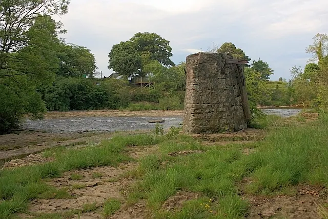
© Mick Garratt · Geograph · CC BY-SA 2.0
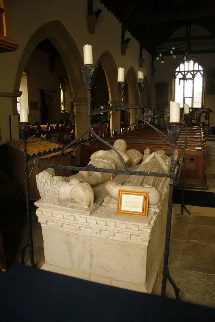
© David Rogers · Geograph · CC BY-SA 2.0
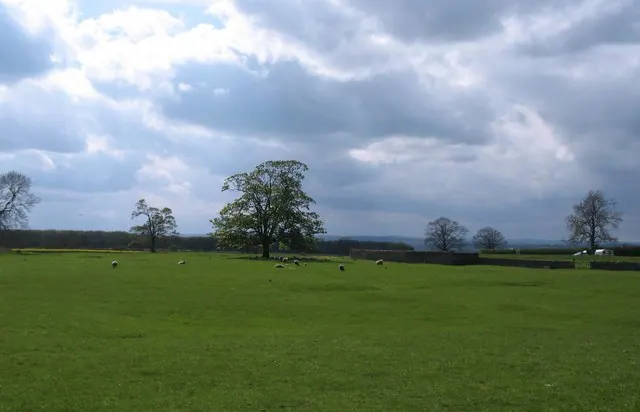
© Gordon Hatton · Geograph · CC BY-SA 2.0
Images © their respective photographers, licensed under CC BY-SA 2.0 and reused here with attribution. Photographs depict listed buildings, churches and monuments near this settlement and may show neighbouring villages.
Data derived from the Open Domesday project (opendomesday.org), based on the Domesday Book dataset compiled by Professor J.J.N. Palmer and team. The Domesday Book (1086) is in the public domain.
Found an inaccuracy? [email protected]