East Newton in the Domesday Book (1086)
The 1086 Domesday survey records the settlement of East Newton, entered under the hundred of Maneshou in Yorkshire. The survey assessed East Newton at 6.5 carucates of taxable land.
At the time of the survey, East Newton supported a recorded population of 12 villagers, 24 smallholders, 6 slaves, working 23 ploughs between them.
The drop in value is hard to miss. Before 1066, East Newton was worth 5 shillings; by 1086 that had dropped to 4 shillings – a fall of 19%. Most Yorkshire villages that lost value on this scale were swept up in the Harrying of the North – William’s scorched-earth campaign of 1069–70.
Resources Recorded at East Newton (1086)
- Mills: 2 mills
- Churches: 1
- Woodland: 100 pigs
Other Settlements in Maneshou
- Amotherby
- Ampleforth
- Appleton [le Street]
- Beadlam
- Brawby
- Broughton
- Cawton
- Coulton
- Fadmoor
- Fryton
- Gillamoor
- Gilling [East]
- Griff [Farm]
- Grimston
The Meaning of the Name
The name East Newton is of Anglo-Saxon origin. Its final element derives from the Old English word tūn, a farmstead or village, while the first element appears to represent the new. Taken together the name probably meant something close to ’the new farmstead’.
Remarkably, the name has changed little since 1086, when the Domesday scribes wrote it as East Newton.
Listed Buildings Near East Newton
Historic England records 2 listed buildings within about a mile of East Newton. Listing protects structures of special architectural or historic interest, graded I (exceptional), II* (particularly important) and II.
Grade II
- East Newton Hall Barn and Barn Approximately 10 Metres to Rear - 0.25 km
- Milepost Approximately 400 Metres East of Stonegrave Lodge - 1.09 km
East Newton Today
Today East Newton lies within the administrative area of Stonegrave.
Nearby Domesday Settlements
Other places recorded in the 1086 survey within a few miles:
- West Newton Grange - 0.0 km N
- Laysthorpe Lodge - 1.4 km SW
- Nunnington - 2.0 km E
- Oswaldkirk - 2.2 km SW
- Stonegrave - 2.2 km SE
- Harome - 3.0 km N
Heritage Around [East] Newton
Photographs of churches, listed buildings and monuments in the vicinity, contributed by volunteers to the Geograph project and reused here under a Creative Commons licence.
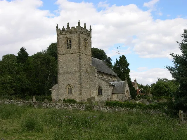
© Stuart and Fiona Jackson · Geograph · CC BY-SA 2.0
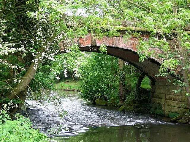
© Roger Smith · Geograph · CC BY-SA 2.0
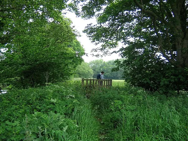
© Roger Smith · Geograph · CC BY-SA 2.0
Images © their respective photographers, licensed under CC BY-SA 2.0 and reused here with attribution. Photographs depict listed buildings, churches and monuments near this settlement and may show neighbouring villages.
Data derived from the Open Domesday project (opendomesday.org), based on the Domesday Book dataset compiled by Professor J.J.N. Palmer and team. The Domesday Book (1086) is in the public domain.
Found an inaccuracy? [email protected]