East Lilling in the Domesday Book (1086)
East Lilling is named in the Domesday Book, compiled by Norman commissioners in 1086, entered under the hundred of Bulford in Yorkshire.
Other Settlements in Bulford
- Aldwark
- Alne
- Barnby [House]
- Barton [le Willows]
- Beningbrough
- Bossall
- Brafferton
- Brandsby
- Bulmer
- Buttercrambe
- Carlton [Farm]
- Claxton
- Coneysthorpe
- Corburn
The Meaning of the Name
The origin of the name East Lilling is not securely established from its modern form alone; like many settlement names in the North it likely combines an Old English or Old Norse personal name with a landscape term.
Remarkably, the name has changed little since 1086, when the Domesday scribes wrote it as East Lilling.
Listed Buildings Near East Lilling
Historic England records 14 listed buildings within about a mile of East Lilling. Listing protects structures of special architectural or historic interest, graded I (exceptional), II* (particularly important) and II.
Grade I
- Sheriff Hutton Hall - 1.2 km
Grade II
- East Lilling Farmhouse - 0.85 km
- East Lilling Grange - 0.96 km
- Statue of Alexander Approximately 210 Metres South East of Sheriff Hutton Hall - 0.98 km
- Gate Piers With Statues and Gates Approximately 100 Metres South-east of Sheriff Hutton Hall - 1.1 km
- First Amorini Statue Approximately 70 Metres South of Sheriff Hutton Hall at End of Garden Wall - 1.11 km
- Second Amorini Statue Approximately 70 Metres South-east of Sheriff Hutton Hall - 1.12 km
- Two Lengths of Garden Wall in Grounds of Sheriff Hutton Hall Extending Approximately 60 Metres South East of House - 1.14 km
- Pedestal and Urn in Grounds of Sheriff Hutton Hall Approximately 40 Metres South-east of House - 1.17 km
- Gate piers and urns at south-west entrance to garden of Sheriff Hutton Hall - 1.18 km
- Pedestal Carrying Urn at North-west End of North-east Garden Wall of Sheriff Hutton Hall - 1.19 km
- Lion Statue in Grounds of Sheriff Hall Approximately 20 Metres East of House - 1.2 km
- The Rangers House - 1.2 km
- Ice House Beneath Outbuildings to North of Sheriff Hutton Hall - 1.21 km
Scheduled Monuments Near East Lilling
Scheduled monuments are nationally important archaeological sites given legal protection. 1 lies within roughly a mile of East Lilling:
- Site of deserted village of East Lilling - 0.42 km
Nearby Domesday Settlements
Other places recorded in the 1086 survey within a few miles:
- Thornton le Clay - 2.2 km NE
- West Lilling - 2.2 km NW
- Sheriff Hutton - 2.2 km NW
- Flaxton - 2.2 km SE
- Foston - 3.2 km E
- Stittenham - 3.2 km N
Heritage Around [East] Lilling
Photographs of churches, listed buildings and monuments in the vicinity, contributed by volunteers to the Geograph project and reused here under a Creative Commons licence.
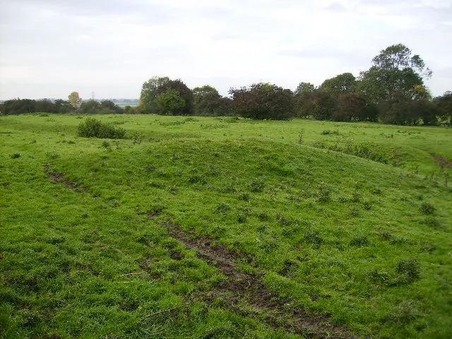
© Phil Catterall · Geograph · CC BY-SA 2.0
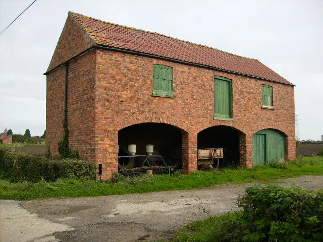
© Phil Catterall · Geograph · CC BY-SA 2.0
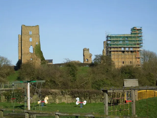
© Matthew Hatton · Geograph · CC BY-SA 2.0
Images © their respective photographers, licensed under CC BY-SA 2.0 and reused here with attribution. Photographs depict listed buildings, churches and monuments near this settlement and may show neighbouring villages.
Data derived from the Open Domesday project (opendomesday.org), based on the Domesday Book dataset compiled by Professor J.J.N. Palmer and team. The Domesday Book (1086) is in the public domain.
Found an inaccuracy? [email protected]