East Layton in the Domesday Book (1086)
The 1086 Domesday survey records the settlement of East Layton, entered under the hundred of Land of Count Alan in Yorkshire.
Other Settlements in Land of Count Alan
- Achebi
- Agglethorpe
- Ainderby [Mires]
- Ainderby [Quernhow]
- Aiskew
- Aldbrough
- Allerthorpe [Hall]
- Ascam
- Ascham
- Asebi
- Aske [Hall]
- Askrigg
- Aysgarth
- Baldersby
The Meaning of the Name
The name East Layton is of Anglo-Saxon origin. Its final element derives from the Old English word tūn, a farmstead or village. The first element is most likely a personal name or an early descriptive term, now difficult to recover with certainty. Taken together the name probably meant something close to ‘a farmstead’.
Remarkably, the name has changed little since 1086, when the Domesday scribes wrote it as East Layton.
Listed Buildings Near East Layton
Historic England records 9 listed buildings within about a mile of East Layton. Listing protects structures of special architectural or historic interest, graded I (exceptional), II* (particularly important) and II.
Grade II
- Old Smithy - 0.38 km
- Kiln Building With Attached Cart Shed at Tile Sheds Farm - 0.41 km
- Christ Church - 0.42 km
- East Layton Old Hall and Attached Garden Gateway - 0.45 km
- The Ford - 0.46 km
- East Layton Hall - 0.67 km
- Old School Room - 0.79 km
- West Farmhouse and West Farm Cottage - 0.88 km
- Stable With Granary Above, Approximately Twenty Metres West of West Farmhouse Cottage - 0.91 km
Scheduled Monuments Near East Layton
Scheduled monuments are nationally important archaeological sites given legal protection. 2 lie within roughly a mile of East Layton:
- Two moated sites, the site of a dovecote and further associated features 120m north west and 180m north of The Old Hall - 0.56 km
- Roman fort and prehistoric enclosed settlement 400m west of Carkin Moor Farm - 1.2 km
East Layton Today
Today East Layton lies within the administrative area of North Yorkshire, and the settlement recorded a population of 86 at the 2021 census. Nine and a half centuries separate that figure from the small rural community the Domesday survey recorded here in 1086.
Read more about modern East Layton on Wikipedia .
Nearby Domesday Settlements
Other places recorded in the 1086 survey within a few miles:
- West Layton - 2.0 km W
- Stanwick - 2.8 km NE
- Stanwick - 2.8 km NE
- Ravensworth - 2.8 km SW
- Didderston Grange - 2.8 km SE
- Melsonby - 3.2 km E
Heritage Around [East] Layton
Photographs of churches, listed buildings and monuments in the vicinity, contributed by volunteers to the Geograph project and reused here under a Creative Commons licence.
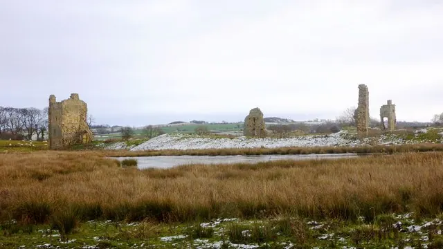
© Andy Waddington · Geograph · CC BY-SA 2.0
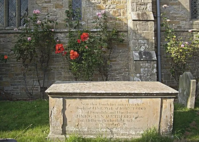
© Stanley Howe · Geograph · CC BY-SA 2.0
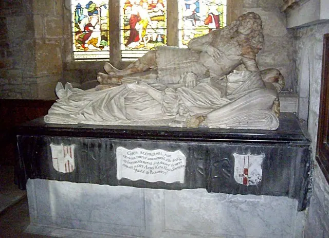
© Stanley Howe · Geograph · CC BY-SA 2.0
Images © their respective photographers, licensed under CC BY-SA 2.0 and reused here with attribution. Photographs depict listed buildings, churches and monuments near this settlement and may show neighbouring villages.
Location
54.4804°N, -1.7453°W · Land of Count Alan hundred, Yorkshire
View larger map on OpenStreetMap →Data derived from the Open Domesday project (opendomesday.org), based on the Domesday Book dataset compiled by Professor J.J.N. Palmer and team. The Domesday Book (1086) is in the public domain.
Found an inaccuracy? [email protected]