East Keswick in the Domesday Book (1086)
The settlement of East Keswick is recorded in William I’s Domesday survey of 1086, entered under the hundred of Skyrack in Yorkshire.
Other Settlements in Skyrack
- Adel
- Allerton [Bywater]
- Alwoodley
- Arthington
- Austhorpe
- Baildon
- Bardsey
- Barwick [in Elmet]
- Bichertun
- Bicherun
- Bingley
- Birkby [Hill]
- Bramhope
- Burden [Head]
The Meaning of the Name
The name East Keswick is of Anglo-Saxon origin. Its final element derives from the Old English word wīc, a dwelling, dairy farm or trading settlement. The first element is most likely a personal name or an early descriptive term, now difficult to recover with certainty. Taken together the name probably meant something close to ‘a specialised farm’.
Remarkably, the name has changed little since 1086, when the Domesday scribes wrote it as East Keswick.
Listed Buildings Near East Keswick
Historic England records 14 listed buildings within about a mile of East Keswick. Listing protects structures of special architectural or historic interest, graded I (exceptional), II* (particularly important) and II.
Grade II
- The Old Star - 0.52 km
- Stocks Hill Cottage Wayside Cottage - 0.56 km
- The Old Parsonage - 0.6 km
- One Up, One Down Cottage at Junction With Church Drive - 0.62 km
- Milestone Approximately 50 Metres North of Junction With Second Avenue - 0.72 km
- Manor House Farmhouse - 0.78 km
- Barn Approximately 1.5 Metres North West of Rear of Manor Farmhouse - 0.78 km
- Mizpah Cottage - 0.91 km
- East Rigton Farmhouse - 1.0 km
- Milestone Approximately 60 Metres East of Junction With Lane to Moor Farm - 1.05 km
- Barn and Ancillary Outbuilding to North West of Bardsey Grange - 1.06 km
- Cowhouse and Granary to North West of Bardsey Grange - 1.07 km
- Bardsey Grange and Congreve Cottage Including Wall Attached to Rear - 1.08 km
- Barn Approximately 20 Metres West of Rigton Farmhouse - 1.13 km
Scheduled Monuments Near East Keswick
Scheduled monuments are nationally important archaeological sites given legal protection. 1 lies within roughly a mile of East Keswick:
- Castle Hill motte and bailey castle - 1.14 km
East Keswick Today
Today East Keswick lies within the administrative area of Leeds, and the settlement recorded a population of 1,145 at the 2021 census. Nine and a half centuries separate that figure from the small rural community the Domesday survey recorded here in 1086.
Read more about modern East Keswick on Wikipedia .
Nearby Domesday Settlements
Other places recorded in the 1086 survey within a few miles:
- Bardsey - 1.0 km S
- East Rigton - 1.4 km SE
- Kearby Town End - 2.8 km NW
- Compton - 3.0 km E
- Stockton - 3.2 km W
- Linton - 3.6 km NE
Heritage Around [East] Keswick
Photographs of churches, listed buildings and monuments in the vicinity, contributed by volunteers to the Geograph project and reused here under a Creative Commons licence.
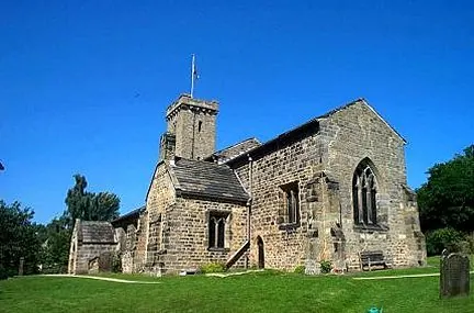
© Bill Henderson · Geograph · CC BY-SA 2.0
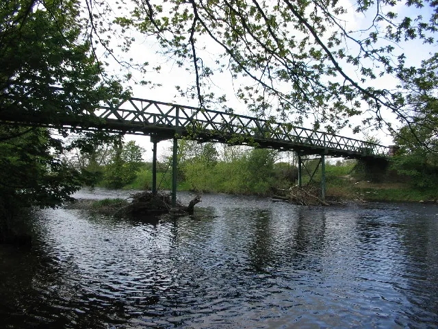
© Martin Norman · Geograph · CC BY-SA 2.0
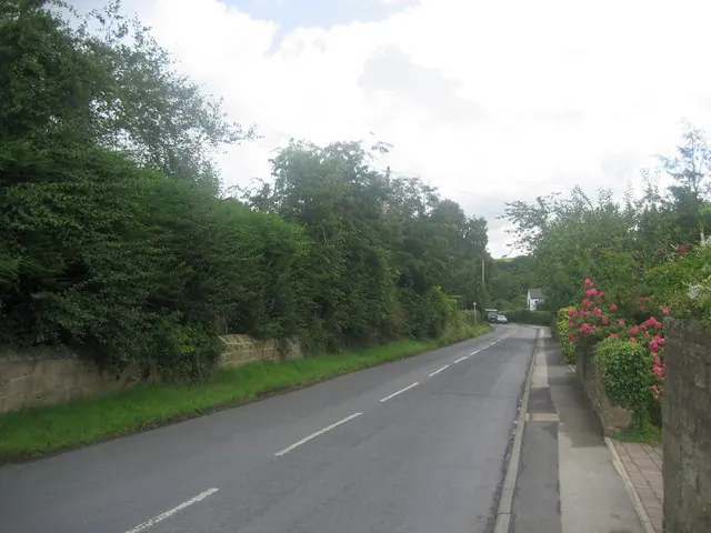
© Chris Heaton · Geograph · CC BY-SA 2.0
Images © their respective photographers, licensed under CC BY-SA 2.0 and reused here with attribution. Photographs depict listed buildings, churches and monuments near this settlement and may show neighbouring villages.
Data derived from the Open Domesday project (opendomesday.org), based on the Domesday Book dataset compiled by Professor J.J.N. Palmer and team. The Domesday Book (1086) is in the public domain.
Found an inaccuracy? [email protected]