East Ardsley in the Domesday Book (1086)
East Ardsley is named in the Domesday Book, compiled by Norman commissioners in 1086, entered under the hundred of Morley in Yorkshire.
Other Settlements in Morley
- Allerton
- Armley
- Batley
- Beeston
- Bolton
- Bowling
- Bradford
- Bramley
- Calverley
- Carlton
- Chellow [Grange]
- Clayton
- Clifton
- Cruttonstall
The Meaning of the Name
The name East Ardsley is of Anglo-Saxon origin. Its final element derives from the Old English word lēah, a woodland clearing or glade. The first element is most likely a personal name or an early descriptive term, now difficult to recover with certainty. Taken together the name probably meant something close to ‘a clearing’.
Remarkably, the name has changed little since 1086, when the Domesday scribes wrote it as East Ardsley.
Listed Buildings Near East Ardsley
Historic England records 7 listed buildings within about a mile of East Ardsley. Listing protects structures of special architectural or historic interest, graded I (exceptional), II* (particularly important) and II.
Grade II*
- East Ardsley Old Hall - 0.21 km
Grade II
- Barn Approximately 10 Metres East of East Ardsley Old Hall - 0.21 km
- Two grave slabs, memorials to Thomas and Dorothy Casson approximately 20 metres south east of porch of Church of St Michael - 0.41 km
- Church of St Michael - 0.41 km
- Grave Slab Memorial to Margret Wilks Approximately 15 Metres South East of Porch of Church of St Michael - 0.42 km
- The Old Vicarage - 0.49 km
- Ardsley Mill and attached engine house and chimney - 0.87 km
East Ardsley Today
Today East Ardsley lies within the administrative area of Leeds.
Read more about modern East Ardsley on Wikipedia .
Nearby Domesday Settlements
Other places recorded in the 1086 survey within a few miles:
- Thorpe on the Hill - 1.4 km NE
- West Ardsley - 2.0 km W
- Middleton - 3.0 km N
- Lofthouse - 3.2 km E
- Carlton - 3.6 km NE
- Rothwell - 5.0 km NE
Heritage Around [East] Ardsley
Photographs of churches, listed buildings and monuments in the vicinity, contributed by volunteers to the Geograph project and reused here under a Creative Commons licence.
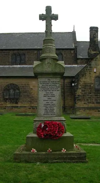
© Betty Longbottom · Geograph · CC BY-SA 2.0
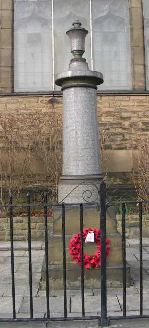
© Betty Longbottom · Geograph · CC BY-SA 2.0
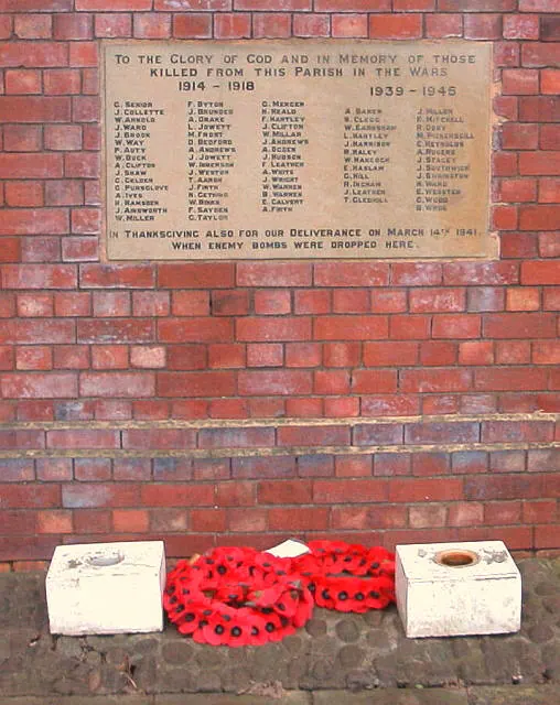
© Alan Longbottom · Geograph · CC BY-SA 2.0
Images © their respective photographers, licensed under CC BY-SA 2.0 and reused here with attribution. Photographs depict listed buildings, churches and monuments near this settlement and may show neighbouring villages.
Data derived from the Open Domesday project (opendomesday.org), based on the Domesday Book dataset compiled by Professor J.J.N. Palmer and team. The Domesday Book (1086) is in the public domain.
Found an inaccuracy? [email protected]