East and West Morton in the Domesday Book (1086)
East and West Morton appears in the Domesday Book of 1086, entered under the hundred of Skyrack in Yorkshire.
Other Settlements in Skyrack
- Adel
- Allerton [Bywater]
- Alwoodley
- Arthington
- Austhorpe
- Baildon
- Bardsey
- Barwick [in Elmet]
- Bichertun
- Bicherun
- Bingley
- Birkby [Hill]
- Bramhope
- Burden [Head]
The Meaning of the Name
The name East and West Morton is of Anglo-Saxon origin. Its final element derives from the Old English word tūn, a farmstead or village. The first element is most likely a personal name or an early descriptive term, now difficult to recover with certainty. Taken together the name probably meant something close to ‘a farmstead’.
Remarkably, the name has changed little since 1086, when the Domesday scribes wrote it as East and West Morton.
Listed Buildings Near East and West Morton
Historic England records 22 listed buildings within about a mile of East and West Morton. Listing protects structures of special architectural or historic interest, graded I (exceptional), II* (particularly important) and II.
Grade II
- Moorlands Farmhouse and Cottage - 0.38 km
- Barn approximately 7 metres to west of Green End Farmhouse - 0.43 km
- Green End Farmhouse and attached barn and former cottage - 0.46 km
- Morton Hall - 0.49 km
- 3-6, the Square - 0.52 km
- Dene Farmhouse and Attached Barn, Dean Hole - 0.55 km
- Croft House - 0.56 km
- Laurel Bank - 0.56 km
- Outbuilding and Garage Adjoining Croft House to South West - 0.57 km
- 2, 3 and 4, Croft Road - 0.57 km
- 5, Croft Road - 0.58 km
- 9, Little Lane - 0.59 km
- Barn Approximately 15 Metres South South West of High Ash Farmhouse - 0.59 km
- High Ash Farmhouse - 0.6 km
- East Morton Congregational Church Including Sunday School Adjoining to Rear - 0.61 km
- Old Side - 0.61 km
- Glen Esk Farmhouse - 0.69 km
- Field Head Farmhouse - 0.85 km
- Swine Lane Bridge - 0.92 km
- Airedale Heifer Public House and Attached Barn - 1.14 km
- Moorside Farmhouse and Barn - 1.18 km
- K6 Telephone Kiosk in Front of Number 8 High Fold - 1.22 km
Scheduled Monuments Near East and West Morton
Scheduled monuments are nationally important archaeological sites given legal protection. 7 lie within roughly a mile of East and West Morton:
- Cup, ring and groove marked rock at the base of a wall between East Morton and West Morton - 0.11 km
- Cup marked rock adjacent to wall near road from East Morton to West Morton - 0.12 km
- Cup and groove marked rock between East Morton and West Morton - 0.24 km
- Carved rock on bank of How Beck, east of path from West Morton to Riddlesden and 440m south west of Barn House Farm - 0.94 km
- Cup and groove-marked rock north of Drake Hill - 1.39 km
- Rock with single cup near track north of Drake Hill - 1.43 km
- Carved rock east of track north of Drake Hill - 1.57 km
East and West Morton Today
Today East and West Morton lies within the administrative area of Keighley.
Read more about modern West Morton on Wikipedia .
Nearby Domesday Settlements
Other places recorded in the 1086 survey within a few miles:
- Micklethwaite - 1.4 km SE
- Riddlesden - 2.0 km W
- Marley - 2.0 km S
- Keighley - 3.2 km W
- Bingley - 3.2 km S
- Eldwick - 3.6 km SE
Heritage Around [East and West] Morton
Photographs of churches, listed buildings and monuments in the vicinity, contributed by volunteers to the Geograph project and reused here under a Creative Commons licence.
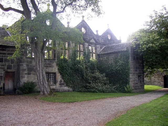
© Humphrey Bolton · Geograph · CC BY-SA 2.0
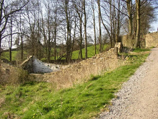
© Humphrey Bolton · Geograph · CC BY-SA 2.0
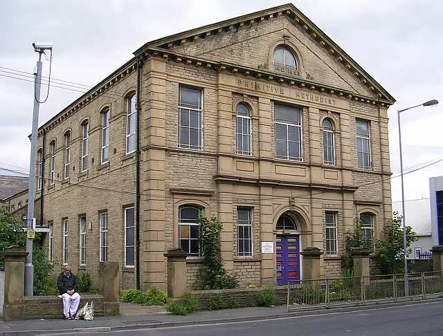
© Betty Longbottom · Geograph · CC BY-SA 2.0
Images © their respective photographers, licensed under CC BY-SA 2.0 and reused here with attribution. Photographs depict listed buildings, churches and monuments near this settlement and may show neighbouring villages.
Data derived from the Open Domesday project (opendomesday.org), based on the Domesday Book dataset compiled by Professor J.J.N. Palmer and team. The Domesday Book (1086) is in the public domain.
Found an inaccuracy? [email protected]