East and West Marton in the Domesday Book (1086)
East and West Marton appears in the Domesday Book of 1086, entered under the hundred of Craven in Yorkshire.
Other Settlements in Craven
- Addingham
- Airton
- Anley
- Appletreewick
- Arncliffe
- Arnford
- Barnoldswick
- Bashall [Eaves]
- Battersby [Barn]
- Beamsley
- Birkby [Hall]
- Bogeuurde
- Bolton [Abbey]
- Bolton [by Bowland]
The Meaning of the Name
The name East and West Marton is of Anglo-Saxon origin. Its final element derives from the Old English word tūn, a farmstead or village. The first element is most likely a personal name or an early descriptive term, now difficult to recover with certainty. Taken together the name probably meant something close to ‘a farmstead’.
Remarkably, the name has changed little since 1086, when the Domesday scribes wrote it as East and West Marton.
Listed Buildings Near East and West Marton
Historic England records 23 listed buildings within about a mile of East and West Marton. Listing protects structures of special architectural or historic interest, graded I (exceptional), II* (particularly important) and II.
Grade II*
- Terraces at Gledstone Hall - 1.15 km
- Gledstone Hall and Forecourt Walls, Pavilions and Gates - 1.21 km
- Church of St Peter - 1.23 km
Grade II
- 22 and 23, Gledstone Road - 0.21 km
- Stocks - 0.22 km
- The Estate House - 0.24 km
- Yew Tree Farmhouse - 0.26 km
- Numbers 1 and 2 Marton Hall Cottages and Marton Priory - 0.27 km
- Bale House With Attached Stable and Barn - 0.3 km
- 15 and 16, Gledstone Road - 0.32 km
- School House Farmhouse - 0.45 km
- Milestone 100 Metres East of School House Farmhouse - 0.57 km
- Mire House Farmhouse - 0.64 km
- Mire House Barn - 0.66 km
- South Lodge - 1.01 km
- Marton House - 1.08 km
- Milestone at Junction With A59 - 1.09 km
- Church Farmhouse - 1.11 km
- Sundial on Terrace at Gledstone Hall - 1.2 km
- Leeds and Liverpool Canal, South Field Bridge - 1.2 km
- The Summerhouse - 1.21 km
- Langber Farm - 1.21 km
- Tempest Farmhouse - 1.26 km
Scheduled Monuments Near East and West Marton
Scheduled monuments are nationally important archaeological sites given legal protection. 1 lies within roughly a mile of East and West Marton:
- Site of Old Hall - 1.2 km
East and West Marton Today
Today East and West Marton lies within the administrative area of Martons Both.
Read more about modern West Marton on Wikipedia .
Nearby Domesday Settlements
Other places recorded in the 1086 survey within a few miles:
- Ingthorpe Grange - 2.0 km N
- Thornton in Craven - 2.2 km SE
- Little Stainton - 3.0 km N
- Crooks House - 3.2 km W
- Stock - 3.2 km W
- Bracewell - 3.6 km SW
Heritage Around [East and West] Marton
Photographs of churches, listed buildings and monuments in the vicinity, contributed by volunteers to the Geograph project and reused here under a Creative Commons licence.
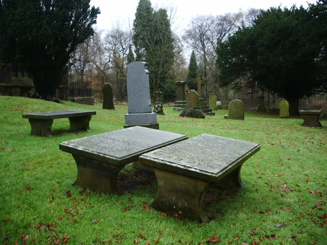
© Alexander P Kapp · Geograph · CC BY-SA 2.0
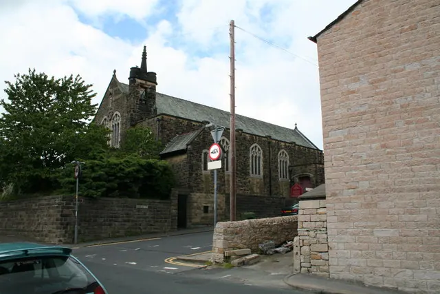
© Dr Neil Clifton · Geograph · CC BY-SA 2.0
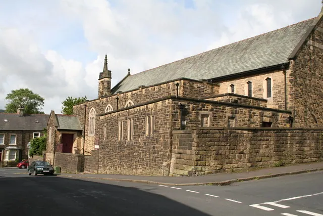
© Dr Neil Clifton · Geograph · CC BY-SA 2.0
Images © their respective photographers, licensed under CC BY-SA 2.0 and reused here with attribution. Photographs depict listed buildings, churches and monuments near this settlement and may show neighbouring villages.
Data derived from the Open Domesday project (opendomesday.org), based on the Domesday Book dataset compiled by Professor J.J.N. Palmer and team. The Domesday Book (1086) is in the public domain.
Found an inaccuracy? [email protected]