Easingwold in the Domesday Book (1086)
Easingwold is named in the Domesday Book, compiled by Norman commissioners in 1086, entered under the hundred of Bulford in Yorkshire. The survey assessed Easingwold at 0.5 carucates of taxable land.
The survey records Easingwold’s value at 0d in 1086. No pre-Conquest figure survives – not unusual in the North, where records were disrupted by the Harrying and by the patchy coverage of the survey.
The Domesday survey records Easingwold as waste - uninhabited and unproductive. In Yorkshire, this designation most often reflects the Harrying of the North of 1069–70, when William I’s forces destroyed crops, livestock, and communities across the county to crush rebellion. Whether Easingwold recovered in subsequent decades is not recorded.
Resources Recorded at Easingwold (1086)
- Woodland: 1 * 0.5 leagues
Other Settlements in Bulford
- Aldwark
- Alne
- Barnby [House]
- Barton [le Willows]
- Beningbrough
- Bossall
- Brafferton
- Brandsby
- Bulmer
- Buttercrambe
- Carlton [Farm]
- Claxton
- Coneysthorpe
- Corburn
The Meaning of the Name
The origin of the name Easingwold is not securely established from its modern form alone; like many settlement names in the North it likely combines an Old English or Old Norse personal name with a landscape term.
Remarkably, the name has changed little since 1086, when the Domesday scribes wrote it as Easingwold.
Listed Buildings Near Easingwold
Historic England records 48 listed buildings within about a mile of Easingwold. Listing protects structures of special architectural or historic interest, graded I (exceptional), II* (particularly important) and II.
Grade II
- 135, Long Street - 0.22 km
- Crawford House - 0.22 km
- 137 and 139, Long Street - 0.23 km
- 141 and 143, Long Street - 0.24 km
- Milestone Outside Number 104 - 0.25 km
- 83, 85 & 87, Long Street - 0.25 km
- Longley House - 0.25 km
- 81, Long Street - 0.26 km
- The New Inn - 0.27 km
- 56-58, Long Street - 0.27 km
- Church of St John the Evangelist (Roman Catholic Church) - 0.3 km
- 30 Long Street and former Bay House Inn - 0.33 km
- Windross House - 0.37 km
- Orchard House and Prospect House - 0.37 km
- Rowntree House - 0.37 km
- Rocliffe House - 0.38 km
- Former Shop on the Corner of Market Place and Windross Square - 0.39 km
- Croft House - 0.39 km
- Three Storey Building on the South Side of Market Place - 0.4 km
- Normandene and Driffield House - 0.41 km
- Scaife House - 0.41 km
- The Old Vicarage - 0.43 km
- 190, 192 & 194, Long Street - 0.45 km
- The Commercial Public House - 0.46 km
…and 24 more listed structures in the area.
Easingwold Today
Today Easingwold lies within the administrative area of Hambleton, and the settlement recorded a population of 5,306 at the 2021 census. Nine and a half centuries separate that figure from the small rural community the Domesday survey recorded here in 1086.
Read more about modern Easingwold on Wikipedia .
Nearby Domesday Settlements
Other places recorded in the 1086 survey within a few miles:
- Inglethwaite - 0.0 km N
- Crayke - 4.1 km E
- Raskelf - 4.1 km W
- Alne - 5.0 km SW
- Waruelestorp - 5.1 km S
- Oulston - 5.4 km N
Heritage Around Easingwold
Photographs of churches, listed buildings and monuments in the vicinity, contributed by volunteers to the Geograph project and reused here under a Creative Commons licence.
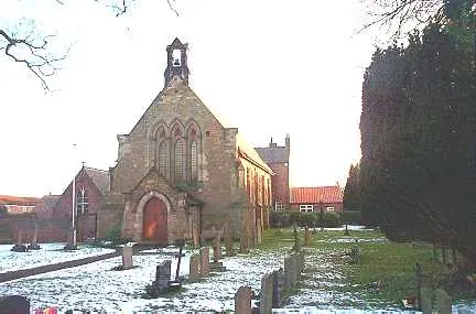
© Bill Henderson · Geograph · CC BY-SA 2.0
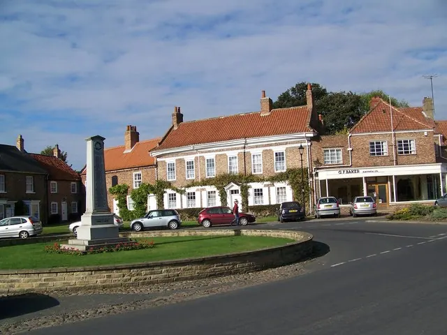
© Maigheach-gheal · Geograph · CC BY-SA 2.0
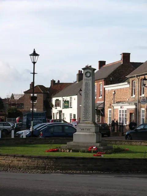
© Gordon Hatton · Geograph · CC BY-SA 2.0
Images © their respective photographers, licensed under CC BY-SA 2.0 and reused here with attribution. Photographs depict listed buildings, churches and monuments near this settlement and may show neighbouring villages.
Data derived from the Open Domesday project (opendomesday.org), based on the Domesday Book dataset compiled by Professor J.J.N. Palmer and team. The Domesday Book (1086) is in the public domain.
Found an inaccuracy? [email protected]