Easington in the Domesday Book (1086)
Easington is named in the Domesday Book, compiled by Norman commissioners in 1086, entered under the hundred of Langbaurgh in Yorkshire.
Other Settlements in Langbaurgh
- Acklam
- Airy [Holme]
- Aislaby
- Arnodestorp
- Baldebi
- Barnaby
- Barwick
- Battersby
- Bergolbi
- Berguluesbi
- Blaten [Carr]
- Borrowby
- Breck
- Brotton
The Meaning of the Name
The name Easington is of Anglo-Saxon origin. Its final element derives from the Old English word tūn, a farmstead or village. The first element is most likely a personal name or an early descriptive term, now difficult to recover with certainty. Taken together the name probably meant something close to ‘a farmstead’.
Remarkably, the name has changed little since 1086, when the Domesday scribes wrote it as Easington.
Listed Buildings Near Easington
Historic England records 8 listed buildings within about a mile of Easington. Listing protects structures of special architectural or historic interest, graded I (exceptional), II* (particularly important) and II.
Grade II
- Memorial Fountain and Troughs Circa 15 Metres North of Number 2 Morehead Terrace - 0.45 km
- Morehead Terrace - 0.48 km
- Church of All Saints - 0.5 km
- The Rectory - 0.54 km
- Garden Cottage - 0.57 km
- Listening Post, 50 Metres West of Boulby Barns Cottage - 0.98 km
- Three Crosses Well, Circa 240 Metres East of Ings Farmhouse - 1.01 km
- Boulby Barns Cottage. - 1.01 km
Scheduled Monuments Near Easington
Scheduled monuments are nationally important archaeological sites given legal protection. 5 lie within roughly a mile of Easington:
- Moated manor and medieval settlement, Easington - 0.36 km
- Cross base for standing cross in churchyard of All Saints Church, Easington - 0.51 km
- World War I early warning acoustic mirror 60m east of Boulby Barns Farm - 0.98 km
- Round barrow on Boulby Cliffs known as the site of Rockcliff Beacon - 1.0 km
- Boulby Alum Quarries and works - 1.24 km
Easington Today
Today Easington lies within the administrative area of Loftus, and the settlement recorded a population of 923 at recent figures. Nine and a half centuries separate that figure from the small rural community the Domesday survey recorded here in 1086.
Read more about modern Easington on Wikipedia .
Nearby Domesday Settlements
Other places recorded in the 1086 survey within a few miles:
- Old Boulby - 2.0 km E
- Roskelthorpe - 2.2 km SW
- South Loftus - 2.2 km SW
- Roxby - 2.8 km SE
- Loftus - 3.0 km W
- Kilton - 4.0 km W
Heritage Around Easington
Photographs of churches, listed buildings and monuments in the vicinity, contributed by volunteers to the Geograph project and reused here under a Creative Commons licence.
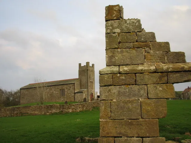
© Chris Twigg · Geograph · CC BY-SA 2.0
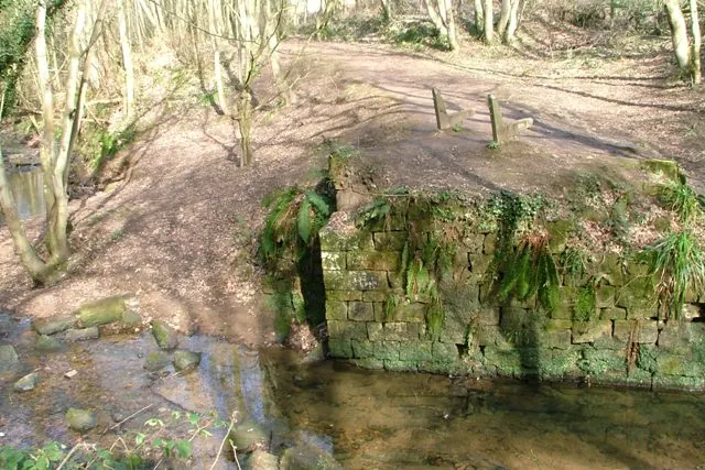
© Mick Garratt · Geograph · CC BY-SA 2.0
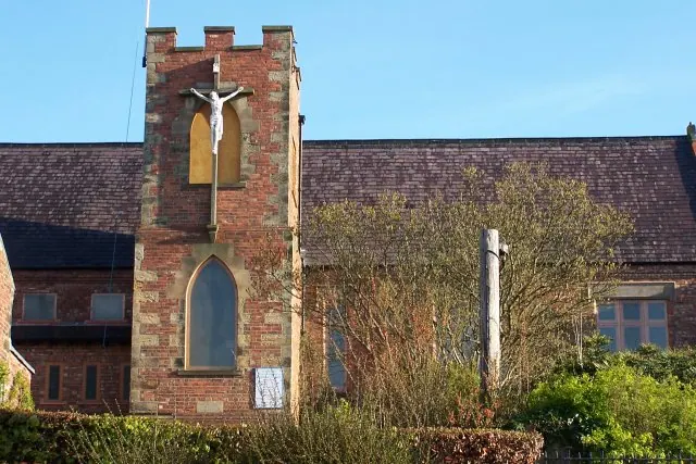
© Dave Eagle · Geograph · CC BY-SA 2.0
Images © their respective photographers, licensed under CC BY-SA 2.0 and reused here with attribution. Photographs depict listed buildings, churches and monuments near this settlement and may show neighbouring villages.
Data derived from the Open Domesday project (opendomesday.org), based on the Domesday Book dataset compiled by Professor J.J.N. Palmer and team. The Domesday Book (1086) is in the public domain.
Found an inaccuracy? [email protected]