Easby in the Domesday Book (1086)
The settlement of Easby is recorded in William I’s Domesday survey of 1086, entered under the hundred of Langbaurgh in Yorkshire. The survey assessed Easby at 0.5 carucates of taxable land.
At the time of the survey, Easby supported a recorded population of 4 villagers.
The survey records Easby’s value at 12d in 1086. No pre-Conquest figure survives – not unusual in the North, where records were disrupted by the Harrying and by the patchy coverage of the survey.
Resources Recorded at Easby (1086)
- Meadow: 5 acres
- Woodland: 20 acres
Other Settlements in Langbaurgh
- Acklam
- Airy [Holme]
- Aislaby
- Arnodestorp
- Baldebi
- Barnaby
- Barwick
- Battersby
- Bergolbi
- Berguluesbi
- Blaten [Carr]
- Borrowby
- Breck
- Brotton
The Meaning of the Name
The name Easby is of Scandinavian origin. Its final element derives from the Old Norse word bý, a farmstead or village. The first element is most likely a personal name or an early descriptive term, now difficult to recover with certainty. Taken together the name probably meant something close to ‘a farmstead’.
Names of this type are a fingerprint of Scandinavian settlement: they cluster across the old Danelaw, where Norse-speaking settlers renamed or founded villages from the late 9th century onward.
Remarkably, the name has changed little since 1086, when the Domesday scribes wrote it as Easby.
Listed Buildings Near Easby
Historic England records 11 listed buildings within about a mile of Easby. Listing protects structures of special architectural or historic interest, graded I (exceptional), II* (particularly important) and II.
Grade II*
Grade II
- Wesleyan Methodist Church - 0.12 km
- Forge Cottage and Attached Stable - 0.13 km
- Church of St Agatha - 0.27 km
- Easby Hall - 0.37 km
- Mill Cottages - 0.61 km
- Garden Wall to North East of Holly Farmhouse - 0.69 km
- Holly Farmhouse and barn adjoining to west - 0.71 km
- Grove Farmhouse and Barn Adjoining to South - 0.72 km
- Farmbuilding approximately 25 metres to north west of Atkinson Wood Farmhouse with attached pigsties and privies - 0.96 km
- Atkinson Wood Farmhouse and Adjacent Outbuilding Range - 0.99 km
Scheduled Monuments Near Easby
Scheduled monuments are nationally important archaeological sites given legal protection. 1 lies within roughly a mile of Easby:
- Easby castle motte - 1.37 km
Easby Today
Today Easby lies within the administrative area of Hambleton, and the settlement recorded a population of 110 at the 2021 census. Nine and a half centuries separate that figure from the small rural community the Domesday survey recorded here in 1086.
Read more about modern Easby on Wikipedia .
Nearby Domesday Settlements
Other places recorded in the 1086 survey within a few miles:
- Little Ayton - 2.0 km N
- Battersby - 2.2 km SE
- Little Broughton - 2.2 km SW
- Great Ayton - 2.2 km NW
- Camisedale - 2.2 km SE
- Ingleby Greenhow - 2.2 km SE
Heritage Around Easby
Photographs of churches, listed buildings and monuments in the vicinity, contributed by volunteers to the Geograph project and reused here under a Creative Commons licence.
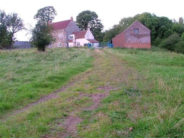
© Mick Garratt · Geograph · CC BY-SA 2.0
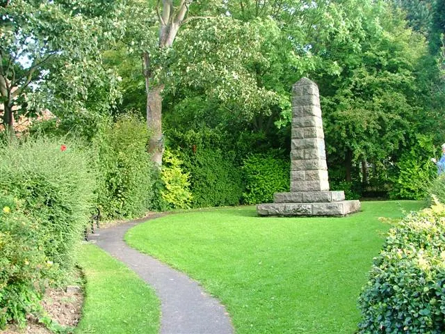
© Mick Garratt · Geograph · CC BY-SA 2.0
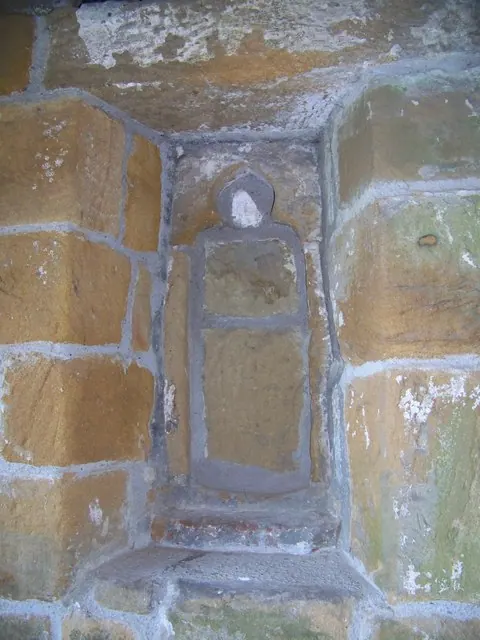
© Maigheach-gheal · Geograph · CC BY-SA 2.0
Images © their respective photographers, licensed under CC BY-SA 2.0 and reused here with attribution. Photographs depict listed buildings, churches and monuments near this settlement and may show neighbouring villages.
Data derived from the Open Domesday project (opendomesday.org), based on the Domesday Book dataset compiled by Professor J.J.N. Palmer and team. The Domesday Book (1086) is in the public domain.
Found an inaccuracy? [email protected]