Earswick in the Domesday Book (1086)
Earswick is named in the Domesday Book, compiled by Norman commissioners in 1086, entered under the hundred of Bulford in Yorkshire. The survey assessed Earswick at 0.3 carucates of taxable land.
The survey records Earswick’s value at 0d in 1086. No pre-Conquest figure survives – not unusual in the North, where records were disrupted by the Harrying and by the patchy coverage of the survey.
The Domesday survey records Earswick as waste - uninhabited and unproductive. In Yorkshire, this designation most often reflects the Harrying of the North of 1069–70, when William I’s forces destroyed crops, livestock, and communities across the county to crush rebellion. Whether Earswick recovered in subsequent decades is not recorded.
Other Settlements in Bulford
- Aldwark
- Alne
- Barnby [House]
- Barton [le Willows]
- Beningbrough
- Bossall
- Brafferton
- Brandsby
- Bulmer
- Buttercrambe
- Carlton [Farm]
- Claxton
- Coneysthorpe
- Corburn
The Meaning of the Name
The name Earswick is of Anglo-Saxon origin. Its final element derives from the Old English word wīc, a dwelling, dairy farm or trading settlement. The first element is most likely a personal name or an early descriptive term, now difficult to recover with certainty. Taken together the name probably meant something close to ‘a specialised farm’.
Remarkably, the name has changed little since 1086, when the Domesday scribes wrote it as Earswick.
Listed Buildings Near Earswick
Historic England records 1 listed building within about a mile of Earswick. Listing protects structures of special architectural or historic interest, graded I (exceptional), II* (particularly important) and II.
Grade II
- Rose Cottage - 0.81 km
Earswick Today
Today Earswick lies within the administrative area of City of York, and the settlement recorded a population of 890 at the 2021 census. Nine and a half centuries separate that figure from the small rural community the Domesday survey recorded here in 1086.
Read more about modern Earswick on Wikipedia .
Nearby Domesday Settlements
Other places recorded in the 1086 survey within a few miles:
- Towthorpe - 1.0 km N
- Huntington - 1.4 km SW
- Dic - 2.2 km NW
- Diche - 2.2 km NW
- Haxby - 2.2 km NW
- Stockton on the Forest - 3.2 km E
Heritage Around Earswick
Photographs of churches, listed buildings and monuments in the vicinity, contributed by volunteers to the Geograph project and reused here under a Creative Commons licence.
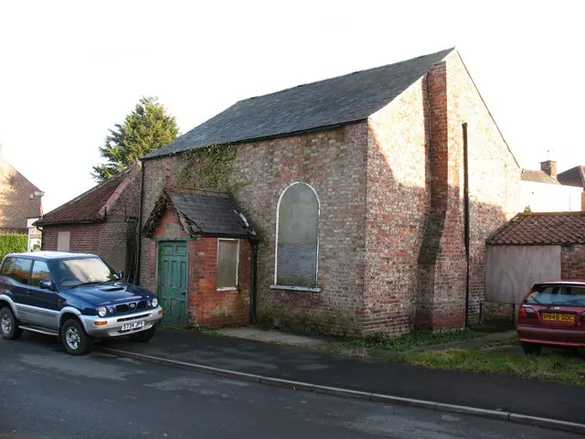
© Gordon Hatton · Geograph · CC BY-SA 2.0
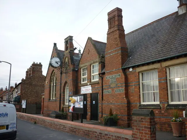
© Ian S · Geograph · CC BY-SA 2.0
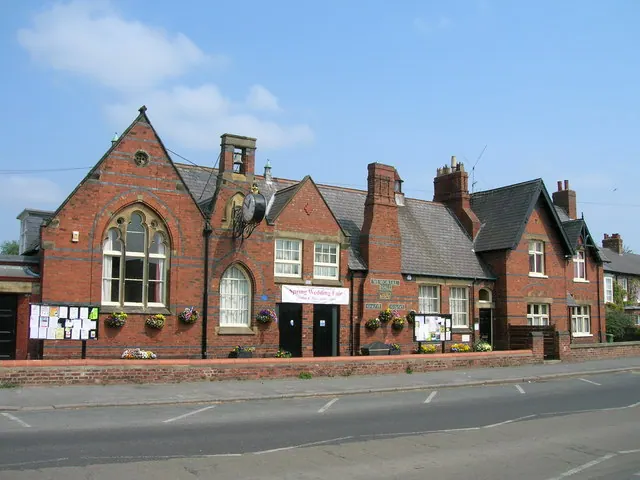
© JThomas · Geograph · CC BY-SA 2.0
Images © their respective photographers, licensed under CC BY-SA 2.0 and reused here with attribution. Photographs depict listed buildings, churches and monuments near this settlement and may show neighbouring villages.
Data derived from the Open Domesday project (opendomesday.org), based on the Domesday Book dataset compiled by Professor J.J.N. Palmer and team. The Domesday Book (1086) is in the public domain.
Found an inaccuracy? [email protected]