Earlsheaton in the Domesday Book (1086)
Earlsheaton is named in the Domesday Book, compiled by Norman commissioners in 1086, entered under the hundred of Agbrigg in Yorkshire.
Other Settlements in Agbrigg
- Ackton
- Almondbury
- Austonley
- Bradley
- Cartworth
- Crigglestone
- Crofton
- Dalton
- Emley
- Farnley [Tyas]
- Flockton
- Fulstone
- Golcar
- Hepworth
The Meaning of the Name
The name Earlsheaton is of Anglo-Saxon origin. Its final element derives from the Old English word tūn, a farmstead or village. The first element is most likely a personal name or an early descriptive term, now difficult to recover with certainty. Taken together the name probably meant something close to ‘a farmstead’.
Remarkably, the name has changed little since 1086, when the Domesday scribes wrote it as Earlsheaton.
Listed Buildings Near Earlsheaton
Historic England records 54 listed buildings within about a mile of Earlsheaton. Listing protects structures of special architectural or historic interest, graded I (exceptional), II* (particularly important) and II.
Grade II*
- Dewsbury Town Hall, including former Magistrates’ Court - 0.89 km
- Church of All Saints - 1.01 km
Grade II
- St Peter’s Parish Centre Including the Cottage - 0.19 km
- Providence Mill - 0.27 km
- Dewsbury Baptist Church, at Junction With Manor Street - 0.88 km
- Telephone Kiosk Outside Entrance to Town Hall - 0.88 km
- Former Eastborough Country School, Including Gatepiers, Gates and Railings Former Eastborough County School, Including Gatepiers, Gates and Railings - 0.89 km
- Barclay’s Bank - 0.95 km
- United Reformed Church - 0.98 km
- 27, Market Place - 1.01 km
- Pair of Telephone Kiosks on Central Reservation - 1.01 km
- 29, Market Place - 1.01 km
- 30 and 32, Market Place - 1.02 km
- Chickenley Heath Farmhouse and Outbuildings - 1.02 km
- 15, 17, 19 and 21, Market Place - 1.03 km
- The Arcade, Dewsbury - 1.03 km
- Station Hotel - 1.04 km
- The Black Bull Public House - 1.04 km
- 18 and 20, Corporation Street - 1.04 km
- 26, MARKET PLACE (See details for further address information) - 1.05 km
- 14 and 16, Market Place - 1.06 km
- HSBC, 14A, Market Place - 1.07 km
- 41 Daisy Hill, Dewsbury including setted rear yard - 1.08 km
- 63 Daisy Hill - 1.13 km
…and 30 more listed structures in the area.
Earlsheaton Today
Today Earlsheaton lies within the administrative area of Kirklees.
Nearby Domesday Settlements
Other places recorded in the 1086 survey within a few miles:
- Dewsbury - 1.0 km W
- Hanging Heaton - 2.0 km N
- Ossett - 2.2 km SE
- Thornhill - 3.2 km S
- Batley - 3.2 km N
- Shitlington - 4.1 km S
Heritage Around [Earls]heaton
Photographs of churches, listed buildings and monuments in the vicinity, contributed by volunteers to the Geograph project and reused here under a Creative Commons licence.
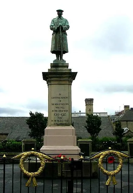
© Betty Longbottom · Geograph · CC BY-SA 2.0
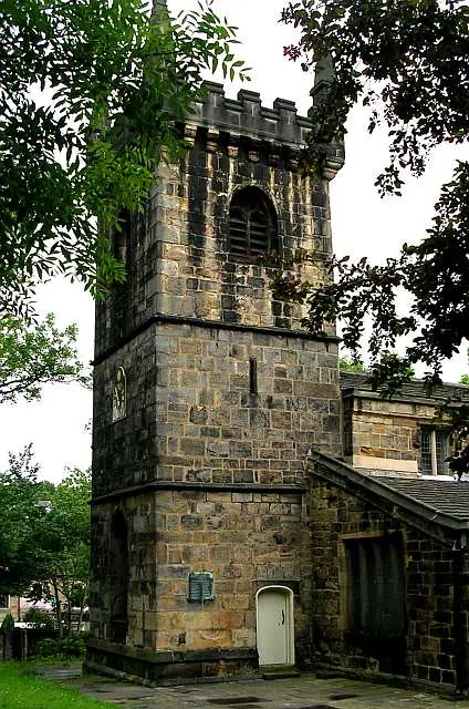
© Betty Longbottom · Geograph · CC BY-SA 2.0
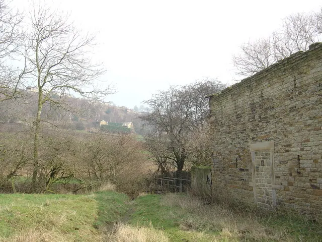
© Donald Wilkinson · Geograph · CC BY-SA 2.0
Images © their respective photographers, licensed under CC BY-SA 2.0 and reused here with attribution. Photographs depict listed buildings, churches and monuments near this settlement and may show neighbouring villages.
Data derived from the Open Domesday project (opendomesday.org), based on the Domesday Book dataset compiled by Professor J.J.N. Palmer and team. The Domesday Book (1086) is in the public domain.
Found an inaccuracy? [email protected]