Dutton in the Domesday Book (1086)
The settlement of Dutton is recorded in William I’s Domesday survey of 1086, entered under the hundred of Tunendune in Cheshire.
Other Settlements in Tunendune
- Alretunstall
- Antrobus
- Baguley
- Bowdon
- Chapmonswiche
- Cogshall
- Hale
- Halton
- Knutsford
- Mere
- Middle Aston
- Millington
- Rostherne
- Sinderland
The Meaning of the Name
The name Dutton is of Anglo-Saxon origin. Its final element derives from the Old English word tūn, a farmstead or village. The first element is most likely a personal name or an early descriptive term, now difficult to recover with certainty. Taken together the name probably meant something close to ‘a farmstead’.
Remarkably, the name has changed little since 1086, when the Domesday scribes wrote it as Dutton.
Listed Buildings Near Dutton
Historic England records 10 listed buildings within about a mile of Dutton. Listing protects structures of special architectural or historic interest, graded I (exceptional), II* (particularly important) and II.
Grade II
- Preston Brook Tunnel Air Shaft North West of Talbot Arms Public House - 0.41 km
- Northern Air Shaft to Preston Brook Tunnel - 0.6 km
- Trent and Mersey Canal South Portal of Preston Brook Tunnel - 0.65 km
- Trent and Mersey Canal Canal Milepost South of North Entrance to Preston Brook Tunnel at Sj 5705 7987 - 0.69 km
- Preston Brook Tunnel Entrance - 0.71 km
- Trent and Mersey Canal Stop Lock Keeper’s Cottage - 0.76 km
- Trent and Mersey Canal Dutton Stop Lock - 0.76 km
- Trent and Mersey Canal Dutton Dock - 0.81 km
- Trent and Mersey Canal Canal Milepost at Ngr 578 683 - 1.17 km
- The Old Number One - 1.29 km
Scheduled Monuments Near Dutton
Scheduled monuments are nationally important archaeological sites given legal protection. 1 lies within roughly a mile of Dutton:
- New Manor Farm moated site - 1.03 km
Dutton Today
Today Dutton lies within the administrative area of Cheshire West and Chester, and the settlement recorded a population of 446 at the 2021 census. Nine and a half centuries separate that figure from the small rural community the Domesday survey recorded here in 1086.
Read more about modern Dutton on Wikipedia .
Nearby Domesday Settlements
Other places recorded in the 1086 survey within a few miles:
- Aston by Sutton - 2.2 km SW
- Eanley - 2.2 km NW
- Norton - 2.8 km NW
- Middle Aston - 2.8 km SW
- Higher and Lower Whitley - 4.0 km E
- Bartington - 4.2 km SE
Heritage Around Dutton
Photographs of churches, listed buildings and monuments in the vicinity, contributed by volunteers to the Geograph project and reused here under a Creative Commons licence.
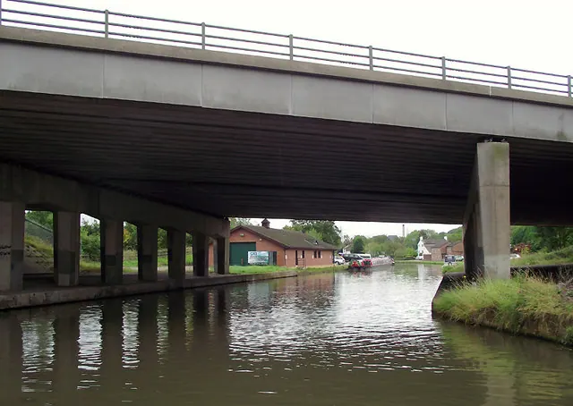
© Roger D Kidd · Geograph · CC BY-SA 2.0
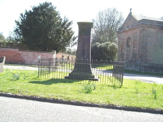
© Ian Warburton · Geograph · CC BY-SA 2.0
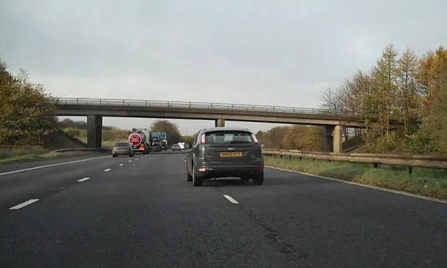
© David Dixon · Geograph · CC BY-SA 2.0
Images © their respective photographers, licensed under CC BY-SA 2.0 and reused here with attribution. Photographs depict listed buildings, churches and monuments near this settlement and may show neighbouring villages.
Data derived from the Open Domesday project (opendomesday.org), based on the Domesday Book dataset compiled by Professor J.J.N. Palmer and team. The Domesday Book (1086) is in the public domain.
Found an inaccuracy? [email protected]