Dunham Massey in the Domesday Book (1086)
Dunham Massey is named in the Domesday Book, compiled by Norman commissioners in 1086, entered under the hundred of Bucklow in Cheshire.
Other Settlements in Bucklow
- Appleton
- Ashley
- Aston [by Budworth]
- Aston [by Sutton]
- Bartington
- Clifton
- Eanley
- Grappenhall
- Lymm
- Mobberley
- Northenden
- Norton
- Ollerton
- Tatton
The Meaning of the Name
The name Dunham Massey is of Anglo-Saxon origin. Its final element derives from the Old English word hām, a homestead or village. The first element is most likely a personal name or an early descriptive term, now difficult to recover with certainty. Taken together the name probably meant something close to ‘a homestead’.
Remarkably, the name has changed little since 1086, when the Domesday scribes wrote it as Dunham Massey.
Listed Buildings Near Dunham Massey
Historic England records 19 listed buildings within about a mile of Dunham Massey. Listing protects structures of special architectural or historic interest, graded I (exceptional), II* (particularly important) and II.
Grade II
- Dunham School - 0.67 km
- Dunham School Bridge - 0.67 km
- Magnolia and the Meadows - 0.68 km
- Seamon’s Moss Bridge - 0.71 km
- Dunham Town War Memorial - 0.78 km
- Lime Tree Cottage Yew Tree Cottage - 1.03 km
- Dog Farmhouse - 1.04 km
- Big Tree House - 1.05 km
- Big Tree Cottages - 1.06 km
- Big Tree Cottages - 1.08 km
- Charcoal Lodge - 1.09 km
- Ivy House - 1.1 km
- Farm Cottage Rose Cottage - 1.16 km
- Deer House - 1.18 km
- Kitchen Garden Bounding Wall and Gardener’s Cottage - 1.21 km
- Barn 200 Metres North West of Gardener’s Cottage - 1.21 km
- Suffolk House, Bradgate, Holmacre - 1.25 km
- Gateway in Bounding Wall Opposite Kitchen Gardens - 1.27 km
- Nursery Cottage - 1.27 km
Dunham Massey Today
Today Dunham Massey lies within the administrative area of Trafford, and the settlement recorded a population of 470 at the 2021 census. Nine and a half centuries separate that figure from the small rural community the Domesday survey recorded here in 1086.
Read more about modern Dunham Massey on Wikipedia .
Nearby Domesday Settlements
Other places recorded in the 1086 survey within a few miles:
- Sinderland - 2.2 km NW
- Bowdon - 2.2 km SE
- Hale - 3.6 km SE
- Alretunstall - 4.0 km E
- Warburton - 4.1 km W
- Millington - 4.5 km SW
Heritage Around Dunham [Massey]
Photographs of churches, listed buildings and monuments in the vicinity, contributed by volunteers to the Geograph project and reused here under a Creative Commons licence.
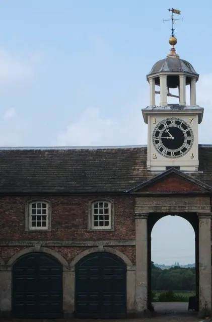
© Peter Barr · Geograph · CC BY-SA 2.0
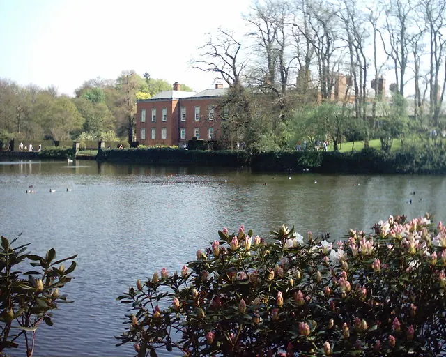
© Alex Robinson · Geograph · CC BY-SA 2.0
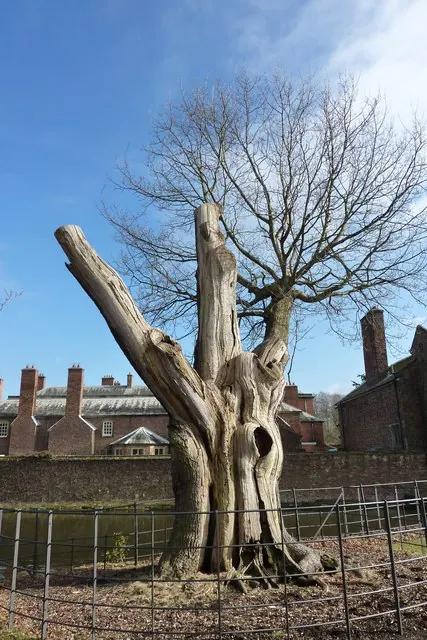
© pam fray · Geograph · CC BY-SA 2.0
Images © their respective photographers, licensed under CC BY-SA 2.0 and reused here with attribution. Photographs depict listed buildings, churches and monuments near this settlement and may show neighbouring villages.
Data derived from the Open Domesday project (opendomesday.org), based on the Domesday Book dataset compiled by Professor J.J.N. Palmer and team. The Domesday Book (1086) is in the public domain.
Found an inaccuracy? [email protected]