Duffield in the Domesday Book (1086)
Duffield appears in the Domesday Book of 1086, entered under the hundred of Morleystone in Derbyshire.
Other Settlements in Morleystone
- Bradley
- Breadsall
- Breaston
- Cellesdene
- Chaddesden
- Codnor
- Crich
- Denby
- Derby
- Draycott
- Hallam
- Heanor
- Herdebi
- Holbrook
The Meaning of the Name
The name Duffield is of Anglo-Saxon origin. Its final element derives from the Old English word feld, open country. The first element is most likely a personal name or an early descriptive term, now difficult to recover with certainty. Taken together the name probably meant something close to ‘a open land’.
Remarkably, the name has changed little since 1086, when the Domesday scribes wrote it as Duffield.
Listed Buildings Near Duffield
Historic England records 50 listed buildings within about a mile of Duffield. Listing protects structures of special architectural or historic interest, graded I (exceptional), II* (particularly important) and II.
Grade II*
- Duffield Hall - 0.45 km
Grade II
- Old Chapel, Gate Piers and Railings - 0.07 km
- 7, Chapel Street - 0.1 km
- 34 Town Street - 0.18 km
- 1-29 King Street - 0.21 km
- The Forge - 0.21 km
- Tamworth House - 0.24 km
- Gervase House - 0.24 km
- The Mews - 0.25 km
- Greystones - 0.25 km
- 52, Town Street - 0.26 km
- The Park - 0.26 km
- 8 and 10 Tamworth Street - 0.27 km
- The Ferns - 0.28 km
- 43 and 45, Tamworth Street - 0.3 km
- Pair of Garages to North of the Meadows - 0.31 km
- The Meadows - 0.32 km
- Mill House - 0.35 km
- 36, Tamworth Street - 0.36 km
- Gatehouse at Duffield Hall and attached wall - 0.38 km
- Duffieldbank House - 0.53 km
- Road Bridge Over Railway by Duffield Church - 0.59 km
- Duffield Baptist Church and Attached House, Walls and Railings - 0.6 km
- The Cedars - 0.61 km
…and 26 more listed structures in the area.
Scheduled Monuments Near Duffield
Scheduled monuments are nationally important archaeological sites given legal protection. 2 lie within roughly a mile of Duffield:
- Twelfth century tower keep castle, including sites of an eleventh century motte and bailey castle, an Anglian cemetery and a Romano-British settlement - 0.64 km
- Duffield Bridge - 0.66 km
Duffield Today
Today Duffield lies within the administrative area of Amber Valley, and the settlement recorded a population of 5,073 at the 2021 census. Nine and a half centuries separate that figure from the small rural community the Domesday survey recorded here in 1086.
Read more about modern Duffield on Wikipedia .
Nearby Domesday Settlements
Other places recorded in the 1086 survey within a few miles:
Heritage Around Duffield
Photographs of churches, listed buildings and monuments in the vicinity, contributed by volunteers to the Geograph project and reused here under a Creative Commons licence.
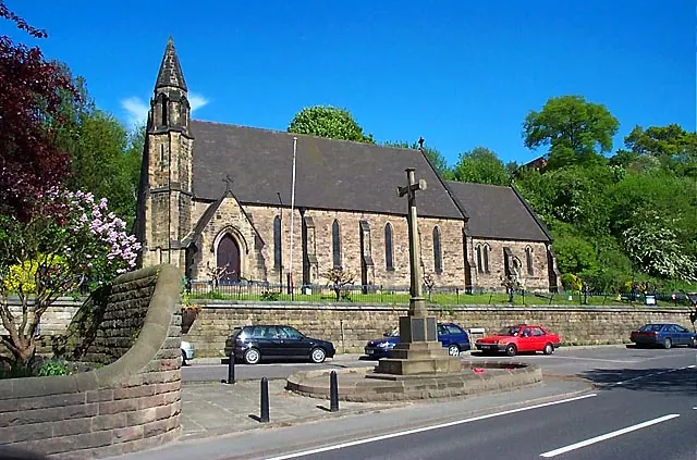
© Garth Newton · Geograph · CC BY-SA 2.0
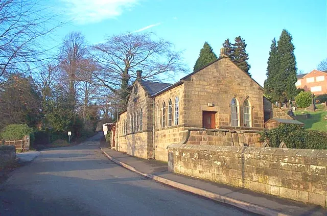
© Garth Newton · Geograph · CC BY-SA 2.0
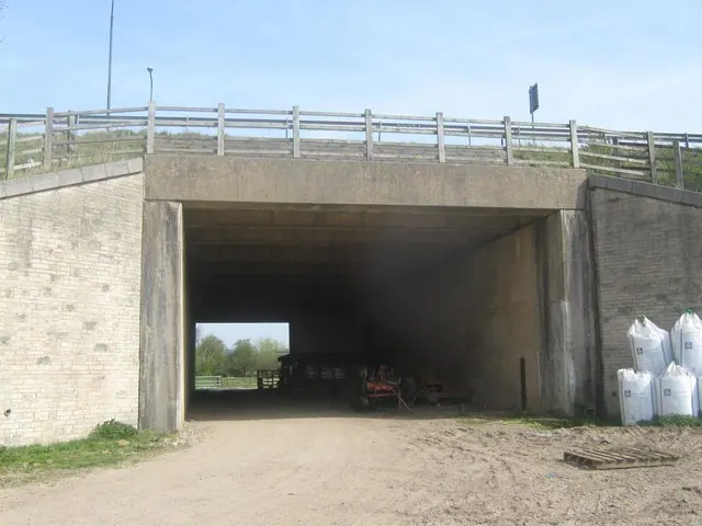
© Eamon Curry · Geograph · CC BY-SA 2.0
Images © their respective photographers, licensed under CC BY-SA 2.0 and reused here with attribution. Photographs depict listed buildings, churches and monuments near this settlement and may show neighbouring villages.
Data derived from the Open Domesday project (opendomesday.org), based on the Domesday Book dataset compiled by Professor J.J.N. Palmer and team. The Domesday Book (1086) is in the public domain.
Found an inaccuracy? [email protected]