Drypool in the Domesday Book (1086)
The 1086 Domesday survey records the settlement of Drypool, entered under the hundred of Holderness [Middle Hundred] in Yorkshire.
Other Settlements in Holderness [Middle Hundred]
- Aldbrough
- Benningholme [Hall]
- Bewick [Hall]
- Bilton
- Burton [Constable]
- Burton [Pidsea]
- Conis[ton]
- Danthorpe
- Dowthorpe [Hall]
- Ellerby
- Elstronwick
- Eske
- Etherdwick
- Fitling
The Meaning of the Name
The origin of the name Drypool is not securely established from its modern form alone; like many settlement names in the North it likely combines an Old English or Old Norse personal name with a landscape term.
Remarkably, the name has changed little since 1086, when the Domesday scribes wrote it as Drypool.
Listed Buildings Near Drypool
Historic England records 234 listed buildings within about a mile of Drypool. Listing protects structures of special architectural or historic interest, graded I (exceptional), II* (particularly important) and II.
Grade II
- Swing Bridge at Former Victoria Dock - 0.37 km
- Former Trinity House Buoy Shed - 0.42 km
- 38B, High Street - 0.44 km
- Tubular Crane, north west corner of former Trinity House Buoy Shed - 0.44 km
- Tidal Surge Barrier, River Hull - 0.44 km
- Pacific Court - 0.45 km
- Bayles House, to rear of 44-45 High Street - 0.45 km
- Crowle House - 0.46 km
- Warehouse, Premises Currently Vacant. - 0.47 km
- Hull and East Riding Museum - 0.47 km
- 37A and 37B, High Street - 0.47 km
- Robbies Public House - 0.47 km
- 42 and 43, High Street - 0.48 km
- Pacific Club - 0.48 km
- 38A, High Street - 0.49 km
- Lister Court - 0.49 km
- Pillar Box Outside Number 40 - 0.49 km
- 2, Bishop Lane - 0.5 km
- 35, High Street - 0.5 km
- 153, High Street - 0.5 km
- 1, Bishop Lane - 0.5 km
- Ye Olde Black Boy Public House - 0.5 km
- 5, Scale Lane - 0.51 km
- Pease Court - 0.52 km
…and 210 more listed structures in the area.
Scheduled Monuments Near Drypool
Scheduled monuments are nationally important archaeological sites given legal protection. 2 lie within roughly a mile of Drypool:
- Hull Castle, South Blockhouse and part of late 17th century Hull Citadel Fort at Garrison Side - 0.14 km
- Beverley Gate and adjacent archaeological remains forming part of Hull’s medieval and post-medieval defences - 0.93 km
Drypool Today
Today Drypool lies within the administrative area of City of Kingston upon Hull, and the settlement recorded a population of 12,500 at recent figures. Nine and a half centuries separate that figure from the small rural community the Domesday survey recorded here in 1086.
Read more about modern Drypool on Wikipedia .
Nearby Domesday Settlements
Other places recorded in the 1086 survey within a few miles:
- Myton - 1.0 km W
- Totfled - 1.0 km W
- Southcoates - 2.8 km NE
- Marfleet - 4.1 km E
- South Skirlaugh - 4.1 km E
- Sutton on Hull - 4.1 km N
Heritage Around Drypool
Photographs of churches, listed buildings and monuments in the vicinity, contributed by volunteers to the Geograph project and reused here under a Creative Commons licence.
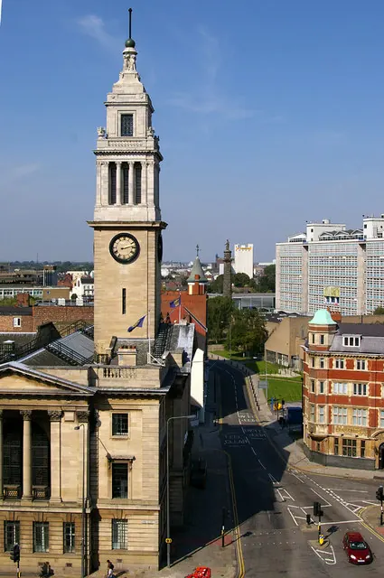
© David Wright · Geograph · CC BY-SA 2.0
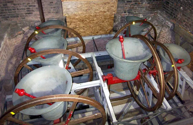
© David Wright · Geograph · CC BY-SA 2.0
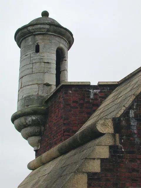
© Paul Glazzard · Geograph · CC BY-SA 2.0
Images © their respective photographers, licensed under CC BY-SA 2.0 and reused here with attribution. Photographs depict listed buildings, churches and monuments near this settlement and may show neighbouring villages.
Location
53.7409°N, -0.3244°W · Holderness [Middle Hundred] hundred, Yorkshire
View larger map on OpenStreetMap →Data derived from the Open Domesday project (opendomesday.org), based on the Domesday Book dataset compiled by Professor J.J.N. Palmer and team. The Domesday Book (1086) is in the public domain.
Found an inaccuracy? [email protected]