Dronfield in the Domesday Book (1086)
Dronfield appears in the Domesday Book of 1086, entered under the hundred of Scarsdale in Derbyshire.
Other Settlements in Scarsdale
- Alfreton
- Ashover
- Barlborough
- Barlow
- Beighton
- Blingsby
- Bolsover
- Boythorpe
- Bramley [Vale]
- Brimington
- Calow
- Chesterfield
- Clowne
- Dore
The Meaning of the Name
The name Dronfield is of Anglo-Saxon origin. Its final element derives from the Old English word feld, open country. The first element is most likely a personal name or an early descriptive term, now difficult to recover with certainty. Taken together the name probably meant something close to ‘a open land’.
Remarkably, the name has changed little since 1086, when the Domesday scribes wrote it as Dronfield.
Listed Buildings Near Dronfield
Historic England records 39 listed buildings within about a mile of Dronfield. Listing protects structures of special architectural or historic interest, graded I (exceptional), II* (particularly important) and II.
Grade I
- Church of St John the Baptist - 0.32 km
Grade II*
- Chiverton House, Attached Boundary Walls Gatepiers and Railings - 0.09 km
- Formerly the Building to the north-east of the Hall - 0.49 km
Grade II
- Rose Hill and Attached Boundary Walls - 0.04 km
- Outbuilding to the South East of Chiverton House - 0.08 km
- Outbuildings to the South of Chiverton House - 0.11 km
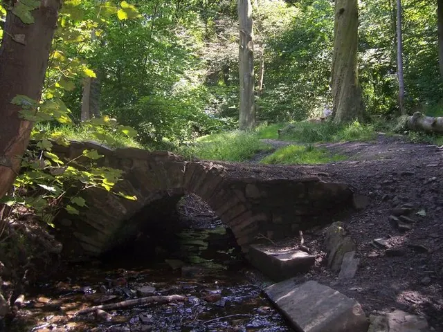
- Lea Road Bridge (TJC1 26) - 0.22 km
- Vale House - 0.23 km
- The Manse - 0.26 km
- 7, 7A, 7B, 8, 10 and 12, Church Street - 0.3 km
- Churchyard Cross, 20 Metres South of the Church of St John the Baptist - 0.31 km
- The Green Dragon Inn - 0.39 km
- Two Pairs of Gatepiers to the East of Premises Occupied by the Slinn Computer Group - 0.4 km
- Premises Occupied by the Slinn Computer Group - 0.41 km
- The Old Vicarage - 0.42 km
- The Red House - 0.42 km
- Quoit Green House - 0.42 km
- The Old Grammar School - 0.44 km
- The Manor Hotel - 0.47 km
- The Blue Stoops Inn - 0.51 km
- The Hall - 0.51 km
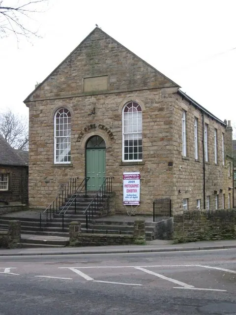
- Former Dronfield Methodist Church - 0.52 km
- The Cottage - 0.52 km
- The Monument - 0.53 km
…and 15 more listed structures in the area.
Scheduled Monuments Near Dronfield
Scheduled monuments are nationally important archaeological sites given legal protection. 1 lies within roughly a mile of Dronfield:
Dronfield Today
Today Dronfield lies within the administrative area of North East Derbyshire, and the settlement recorded a population of 21,161 at the 2021 census. Nine and a half centuries separate that figure from the small rural community the Domesday survey recorded here in 1086.
Read more about modern Dronfield on Wikipedia .
Nearby Domesday Settlements
Other places recorded in the 1086 survey within a few miles:
- Upton - 0.0 km N
- Coal Aston - 1.4 km NE
- Unstone - 2.2 km SE
- Holmesfield - 3.2 km W
- Norton and Little Norton - 4.0 km N
- Middle, Nether and West Handley - 4.1 km E
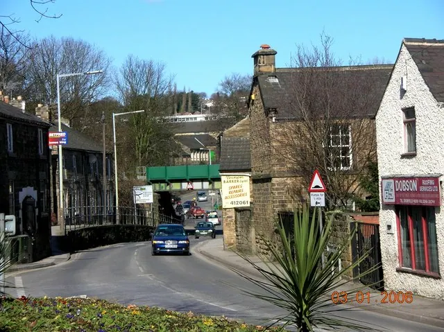
Heritage Around Dronfield
Photographs of churches, listed buildings and monuments in the vicinity, contributed by volunteers to the Geograph project and reused here under a Creative Commons licence.
© Martin Speck · Geograph · CC BY-SA 2.0
© Andrew Loughran · Geograph · CC BY-SA 2.0
© Dave Bevis · Geograph · CC BY-SA 2.0
Images © their respective photographers, licensed under CC BY-SA 2.0 and reused here with attribution. Photographs depict listed buildings, churches and monuments near this settlement and may show neighbouring villages.
Data derived from the Open Domesday project (opendomesday.org), based on the Domesday Book dataset compiled by Professor J.J.N. Palmer and team. The Domesday Book (1086) is in the public domain.
Found an inaccuracy? [email protected]