Drebley in the Domesday Book (1086)
The 1086 Domesday survey records the settlement of Drebley, entered under the hundred of Craven in Yorkshire.
Other Settlements in Craven
- Addingham
- Airton
- Anley
- Appletreewick
- Arncliffe
- Arnford
- Barnoldswick
- Bashall [Eaves]
- Battersby [Barn]
- Beamsley
- Birkby [Hall]
- Bogeuurde
- Bolton [Abbey]
- Bolton [by Bowland]
The Meaning of the Name
The name Drebley is of Anglo-Saxon origin. Its final element derives from the Old English word lēah, a woodland clearing or glade. The first element is most likely a personal name or an early descriptive term, now difficult to recover with certainty. Taken together the name probably meant something close to ‘a clearing’.
Remarkably, the name has changed little since 1086, when the Domesday scribes wrote it as Drebley.
Listed Buildings Near Drebley
Historic England records 24 listed buildings within about a mile of Drebley. Listing protects structures of special architectural or historic interest, graded I (exceptional), II* (particularly important) and II.
Grade II*
- High Hall - 0.63 km
Grade II
- Fold House Farmhouse - 0.35 km
- Little Gate Farmhouse - 0.45 km
- Methodist Chapel With Cottage - 0.47 km
- Cruck Barn to Rear of Drebley Cottage - 0.51 km
- Barn Approximately 100 Metres to South-west of Drebley Farm - 0.55 km
- Barn to East of High Hall - 0.63 km
- Crossfield House - 0.64 km
- Prospect House - 0.64 km
- The Old Post Office - 0.66 km
- Church of St John the Baptist - 0.66 km
- Fell Cottage - 0.66 km
- Craven Cottage Hillside Cottage Hilltop Cottage - 0.67 km
- Laburnam Farmhouse - 0.67 km
- Glaholm - 0.67 km
- Appletree House - 0.68 km
- Smithy Cottage - 0.68 km
- Mock Beggar Hall - 0.71 km
- Barn 20 Metres to South of Lowfold Farmhouse - 0.91 km
- Barn to North East of Lowfold Farmhouse - 0.92 km
- Gamsworth Farmhouse and Attached Barn - 0.94 km
- Low Hall Farmhouse - 0.99 km
- Great Barn to West of Low Hall - 1.01 km
- Barn Approximately 30 Metres to South West of Low Hall - 1.02 km
Drebley Today
Today Drebley lies within the administrative area of Barden.
Nearby Domesday Settlements
Other places recorded in the 1086 survey within a few miles:
- Appletreewick - 1.0 km N
- Burnsall - 2.8 km NW
- Hartlington - 2.8 km NW
- Holedene - 2.8 km NW
- Hebden - 4.2 km NW
- Thorpe - 4.5 km NW
Heritage Around Drebley
Photographs of churches, listed buildings and monuments in the vicinity, contributed by volunteers to the Geograph project and reused here under a Creative Commons licence.
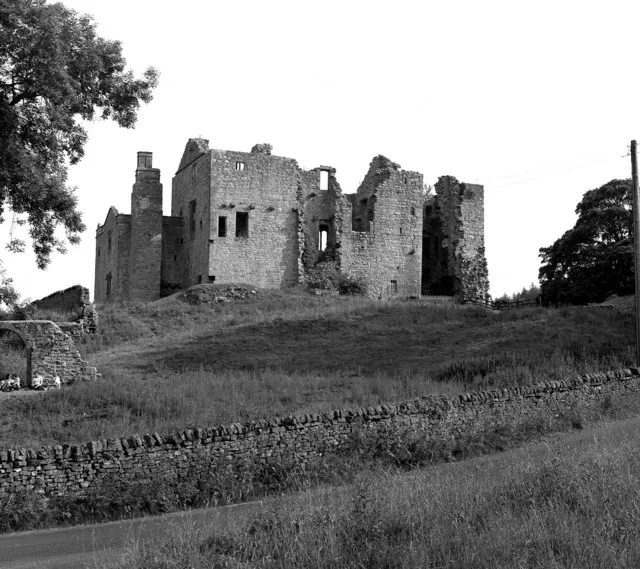
© Dr Neil Clifton · Geograph · CC BY-SA 2.0
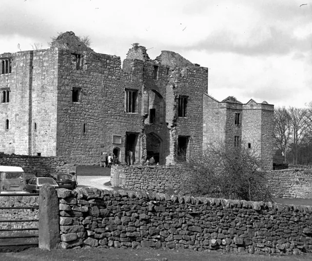
© Dr Neil Clifton · Geograph · CC BY-SA 2.0
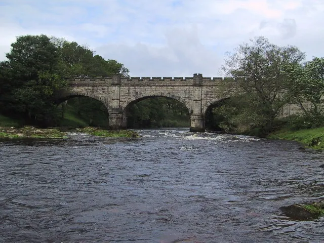
© Dave and Carolyn Sawyer · Geograph · CC BY-SA 2.0
Images © their respective photographers, licensed under CC BY-SA 2.0 and reused here with attribution. Photographs depict listed buildings, churches and monuments near this settlement and may show neighbouring villages.
Data derived from the Open Domesday project (opendomesday.org), based on the Domesday Book dataset compiled by Professor J.J.N. Palmer and team. The Domesday Book (1086) is in the public domain.
Found an inaccuracy? [email protected]