Draycott in the Domesday Book (1086)
The 1086 Domesday survey records the settlement of Draycott, entered under the hundred of Morleystone in Derbyshire. The survey assessed Draycott at 20 carucates of taxable land.
At the time of the survey, Draycott supported a recorded population of 19 villagers, 13 smallholders, 2 slaves, working 20 ploughs between them.
By 1086 Draycott was worth 50 shillings, up from 18 shillings before the Conquest – which sets it apart from the many nearby villages left waste or devalued.
Resources Recorded at Draycott (1086)
- Mills: 1 mill (valued at 10d)
- Meadow: 20 ploughs
- Woodland: 200 pigs;in Forest
Other Settlements in Morleystone
- Bradley
- Breadsall
- Breaston
- Cellesdene
- Chaddesden
- Codnor
- Crich
- Denby
- Derby
- Duffield
- Hallam
- Heanor
- Herdebi
- Holbrook
The Meaning of the Name
The origin of the name Draycott is not securely established from its modern form alone; like many settlement names in the North it likely combines an Old English or Old Norse personal name with a landscape term.
Remarkably, the name has changed little since 1086, when the Domesday scribes wrote it as Draycott.
Listed Buildings Near Draycott
Historic England records 12 listed buildings within about a mile of Draycott. Listing protects structures of special architectural or historic interest, graded I (exceptional), II* (particularly important) and II.
Grade II
- Railway Bridge at Sk 446 334 - 0.01 km
- Victoria Mill - 0.18 km
- Railway Bridge to South West of Cemetery Chapel - 0.34 km
- Cartshed and Stable at Draycott Mills - 0.41 km
- Cotton Doubling Mill at Draycott Mills - 0.43 km
- Draycott Mills Front Range - 0.44 km
- Cotton Processing and Storage Buildings at Draycott Mills - 0.45 km
- Leavers Machine Shed at Draycott Mills - 0.46 km
- Cotton spinning mill, office block and remains of engine house etc at Draycott Mills - 0.49 km
- Cotton Warehouse, Attached Chimney and Outbuilding at Draycott Mills - 0.52 km
- Cedars Farmhouse - 0.56 km
- Draycott Hall and Attached Outbuildings - 0.62 km
Draycott Today
Today Draycott lies within the administrative area of Draycott and Church Wilne, and the settlement recorded a population of 3,090 at recent figures. Nine and a half centuries separate that figure from the small rural community the Domesday survey recorded here in 1086.
Read more about modern Draycott on Wikipedia .
Nearby Domesday Settlements
Other places recorded in the 1086 survey within a few miles:
Heritage Around Draycott
Photographs of churches, listed buildings and monuments in the vicinity, contributed by volunteers to the Geograph project and reused here under a Creative Commons licence.
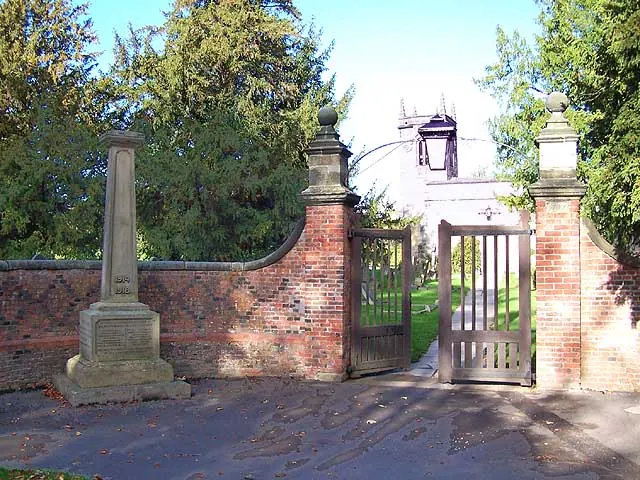
© Garth Newton · Geograph · CC BY-SA 2.0
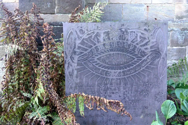
© David Lally · Geograph · CC BY-SA 2.0
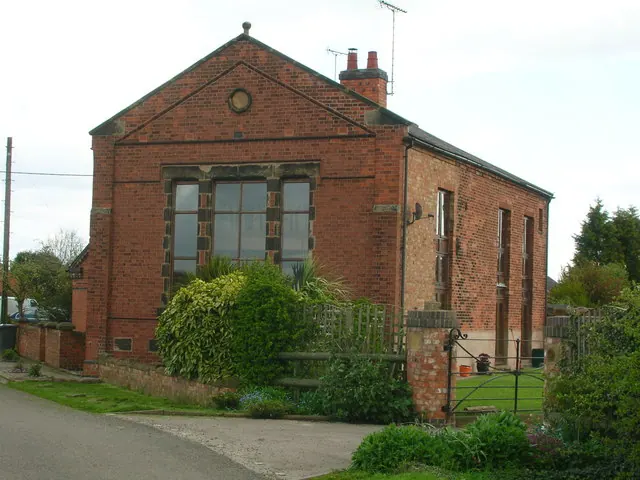
© John H Darch · Geograph · CC BY-SA 2.0
Images © their respective photographers, licensed under CC BY-SA 2.0 and reused here with attribution. Photographs depict listed buildings, churches and monuments near this settlement and may show neighbouring villages.
Data derived from the Open Domesday project (opendomesday.org), based on the Domesday Book dataset compiled by Professor J.J.N. Palmer and team. The Domesday Book (1086) is in the public domain.
Found an inaccuracy? [email protected]