Downholland in the Domesday Book (1086)
Downholland appears in the Domesday Book of 1086, entered under the hundred of [West] Derby in Cheshire. The survey assessed Downholland at 7.2 carucates of taxable land.
At the time of the survey, Downholland supported a recorded population of 4 villagers, 16 smallholders, 2 slaves, 27 freemanmen, working 7 ploughs between them.
By 1086 Downholland was worth 7.01 shillings, up from 5.5 shillings before the Conquest – one of the few settlements in the area to hold its value through the upheaval.
The survey lists 3 manors at Downholland under different lords. Splitting a single settlement between multiple tenants was common across the North – Saxon estates broken up and handed to William’s followers after 1066.
Resources Recorded at Downholland (1086)
- Churches: 1
- Cattle: 3
- Pigs: 4
- Horses (cobs): 1
- Meadow: 8 acres
- Woodland: 4 None
Other Settlements in [West] Derby
- Ainsdale
- Allerton
- Argarmeles
- Aughton
- Barton
- Bootle
- Childwall
- Dalton
- Formby
- Halsall
- Hurlston
- Huyton
- Ince [Blundell]
- Kirkby
The Meaning of the Name
The origin of the name Downholland is not securely established from its modern form alone; like many settlement names in the North it likely combines an Old English or Old Norse personal name with a landscape term.
Remarkably, the name has changed little since 1086, when the Domesday scribes wrote it as Downholland.
Listed Buildings Near Downholland
Historic England records 8 listed buildings within about a mile of Downholland. Listing protects structures of special architectural or historic interest, graded I (exceptional), II* (particularly important) and II.
Grade II
- Downholland Hall - 0.58 km
- Leeds and Liverpool Canal Milestone Approximately 350 Metres South of Haskayne Bridge - 0.65 km
- 153, School Lane - 0.72 km
- 107, School Lane - 0.73 km
- Owens Farmhouse - 0.74 km
- Stock Cottage - 0.95 km
- Leeds and Liverpool Canal Milestone Approximately 650 Metres North of Rimmer’s Bridge - 1.09 km
- Harkers Bridge (Number 23) Leeds and Liverpool Canal Harkers Bridge (Number 23) - 1.24 km
Downholland Today
Today Downholland lies within the administrative area of West Lancashire, and the settlement recorded a population of 1,064 at the 2021 census. Nine and a half centuries separate that figure from the small rural community the Domesday survey recorded here in 1086.
Read more about modern Downholland on Wikipedia .
Nearby Domesday Settlements
Other places recorded in the 1086 survey within a few miles:
Heritage Around Downholland
Photographs of churches, listed buildings and monuments in the vicinity, contributed by volunteers to the Geograph project and reused here under a Creative Commons licence.
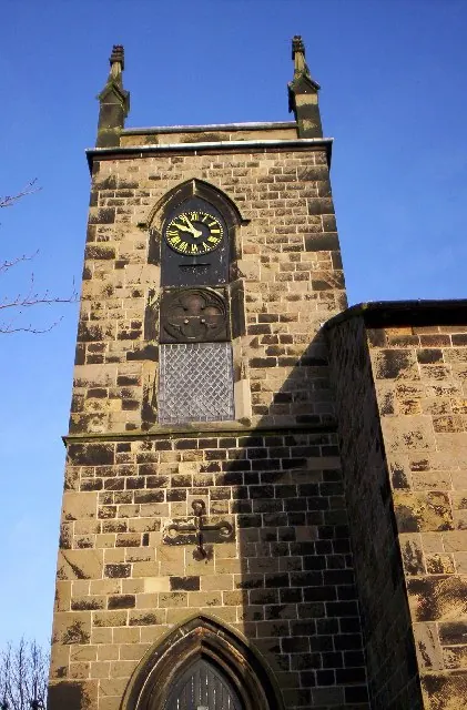
© S Parish · Geograph · CC BY-SA 2.0
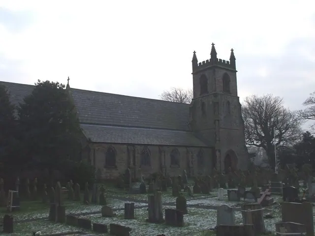
© John Lord · Geograph · CC BY-SA 2.0
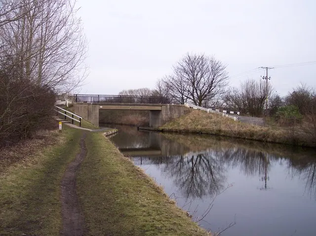
© Raymond Knapman · Geograph · CC BY-SA 2.0
Images © their respective photographers, licensed under CC BY-SA 2.0 and reused here with attribution. Photographs depict listed buildings, churches and monuments near this settlement and may show neighbouring villages.
Data derived from the Open Domesday project (opendomesday.org), based on the Domesday Book dataset compiled by Professor J.J.N. Palmer and team. The Domesday Book (1086) is in the public domain.
Found an inaccuracy? [email protected]