Down Litherland in the Domesday Book (1086)
Down Litherland is named in the Domesday Book, compiled by Norman commissioners in 1086, entered under the hundred of [West] Derby in Cheshire.
Other Settlements in [West] Derby
- Ainsdale
- Allerton
- Argarmeles
- Aughton
- Barton
- Bootle
- Childwall
- Dalton
- Downholland
- Formby
- Halsall
- Hurlston
- Huyton
- Ince [Blundell]
The Meaning of the Name
The origin of the name Down Litherland is not securely established from its modern form alone; like many settlement names in the North it likely combines an Old English or Old Norse personal name with a landscape term.
Remarkably, the name has changed little since 1086, when the Domesday scribes wrote it as Down Litherland.
Listed Buildings Near Down Litherland
Historic England records 14 listed buildings within about a mile of Down Litherland. Listing protects structures of special architectural or historic interest, graded I (exceptional), II* (particularly important) and II.
Grade II
- Moss Bank - 0.2 km
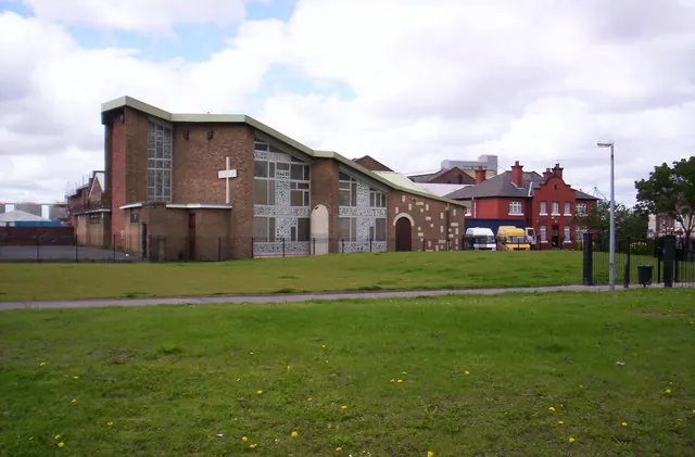
- Church of St Philip - 0.52 km
- Seaforth Arms Hotel - 0.58 km
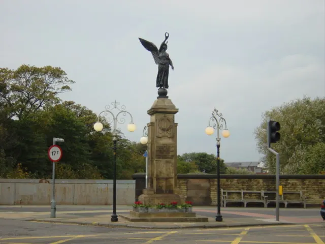
- John Cross Memorial Drinking Fountain - 0.68 km
- Linacre Methodist Mission - 0.75 km
- The Fitness Connection Health Club - 0.75 km
- Former Methodist Sunday School - 0.79 km
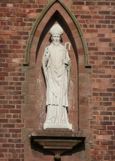
- Church of Our Lady Star of the Sea - 0.87 km
- Adult Education Centre - 0.95 km
- Riverslie - 1.05 km
- Church of St Andrew - 1.09 km
- International Hotel - 1.16 km
- Church of St Mary the Virgin - 1.18 km
- Potters Barn - 1.19 km
Down Litherland Today
Today Down Litherland lies within the administrative area of Sefton, and the settlement recorded a population of 22,242 at recent figures. Nine and a half centuries separate that figure from the small rural community the Domesday survey recorded here in 1086.
Read more about modern Litherland on Wikipedia .
Nearby Domesday Settlements
Other places recorded in the 1086 survey within a few miles:
- Great and Little Crosby - 2.8 km NW
- Bootle - 3.2 km S
- Walton on the Hill - 3.6 km SE
- Kirkdale - 3.6 km SE
- Thornton - 4.1 km N
- Sefton - 4.5 km NE
Heritage Around [Down] Litherland
Photographs of churches, listed buildings and monuments in the vicinity, contributed by volunteers to the Geograph project and reused here under a Creative Commons licence.
© S Parish · Geograph · CC BY-SA 2.0
© Sue Adair · Geograph · CC BY-SA 2.0
© Humphrey Bolton · Geograph · CC BY-SA 2.0
Images © their respective photographers, licensed under CC BY-SA 2.0 and reused here with attribution. Photographs depict listed buildings, churches and monuments near this settlement and may show neighbouring villages.
Data derived from the Open Domesday project (opendomesday.org), based on the Domesday Book dataset compiled by Professor J.J.N. Palmer and team. The Domesday Book (1086) is in the public domain.
Found an inaccuracy? [email protected]