Dore in the Domesday Book (1086)
Dore is named in the Domesday Book, compiled by Norman commissioners in 1086, entered under the hundred of Scarsdale in Derbyshire.
Other Settlements in Scarsdale
- Alfreton
- Ashover
- Barlborough
- Barlow
- Beighton
- Blingsby
- Bolsover
- Boythorpe
- Bramley [Vale]
- Brimington
- Calow
- Chesterfield
- Clowne
- Dronfield
The Meaning of the Name
The origin of the name Dore is not securely established from its modern form alone; like many settlement names in the North it likely combines an Old English or Old Norse personal name with a landscape term.
Remarkably, the name has changed little since 1086, when the Domesday scribes wrote it as Dore.
Listed Buildings Near Dore
Historic England records 15 listed buildings within about a mile of Dore. Listing protects structures of special architectural or historic interest, graded I (exceptional), II* (particularly important) and II.
Grade II
- 5 and 6, High Street - 0.3 km
- 1 and 3, Savage Lane - 0.37 km
- 88 and 90, Townhead Road - 0.39 km
- 94-104, Townhead Road - 0.41 km
- Dore Old School - 0.42 km
- Christ Church - 0.43 km
- Croft House - 0.43 km
- Memorial Lych Gate, Gateway and Flanking Walls 25 Metre East of Christ Church - 0.44 km
- War Memorial at Junction With Savage Lane - 0.44 km
- Woodbine Cottages - 0.46 km
- Church Lane Farmhouse - 0.47 km
- Moorwinstow - 0.78 km
- Gateway and Flanking Walls at Number 99 Moorwinstow - 0.79 km
- Bridge Approximately 200 Metres North West of Totley Grove - 1.18 km
- Footbridge on Limb Brook 400 Metres North West of Abbeydale Road South - 1.18 km
Dore Today
Today Dore lies within the administrative area of Sheffield, and the settlement recorded a population of 5,496 at recent figures. Nine and a half centuries separate that figure from the small rural community the Domesday survey recorded here in 1086.
Read more about modern Dore on Wikipedia .
Nearby Domesday Settlements
Other places recorded in the 1086 survey within a few miles:
- Totley - 2.0 km S
- Holmesfield - 4.5 km SE
- Hallam - 5.0 km N
- Norton and Little Norton - 5.1 km E
- Dronfield - 5.8 km SE
- Upton - 5.8 km SE
Heritage Around Dore
Photographs of churches, listed buildings and monuments in the vicinity, contributed by volunteers to the Geograph project and reused here under a Creative Commons licence.
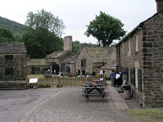
© Alan Fleming · Geograph · CC BY-SA 2.0
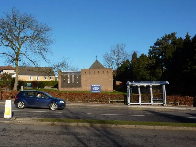
© Peter Barr · Geograph · CC BY-SA 2.0
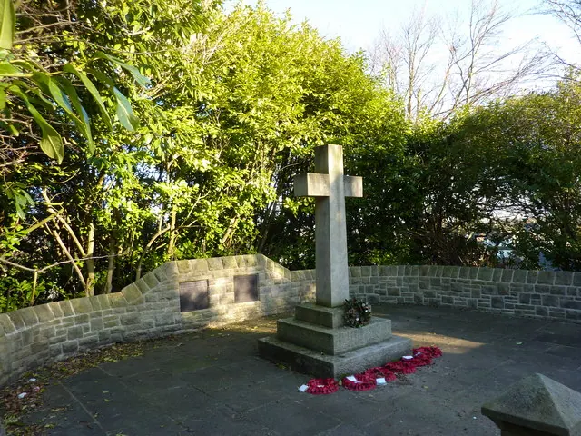
© Peter Barr · Geograph · CC BY-SA 2.0
Images © their respective photographers, licensed under CC BY-SA 2.0 and reused here with attribution. Photographs depict listed buildings, churches and monuments near this settlement and may show neighbouring villages.
Data derived from the Open Domesday project (opendomesday.org), based on the Domesday Book dataset compiled by Professor J.J.N. Palmer and team. The Domesday Book (1086) is in the public domain.
Found an inaccuracy? [email protected]