Doncaster in the Domesday Book (1086)
Doncaster is named in the Domesday Book, compiled by Norman commissioners in 1086, entered under the hundred of Strafforth in Yorkshire.
Other Settlements in Strafforth
- Adwick [le Street]
- Adwick [upon Dearne]
- Armthorpe
- Aston
- Attercliffe
- Auckley
- Aughton [Hall]
- Austerfield
- Balby
- Barnbrough
- Barnby [Dun]
- Bentley
- Bilham [House]
- Billingley
The Meaning of the Name
The name Doncaster is of Anglo-Saxon origin. Its final element derives from the Old English word ceaster (from Latin castra), a Roman fort or walled town. The first element is most likely a personal name or an early descriptive term, now difficult to recover with certainty. Taken together the name probably meant something close to ‘a Roman fort’.
Remarkably, the name has changed little since 1086, when the Domesday scribes wrote it as Doncaster.
Listed Buildings Near Doncaster
Historic England records 106 listed buildings within about a mile of Doncaster. Listing protects structures of special architectural or historic interest, graded I (exceptional), II* (particularly important) and II.
Grade II*
Grade II
- The Queen Hotel and Nos 1 to 5 Sunny Bar, Market Place - 0.05 km
- 47 and 48, Market Place - 0.08 km
- 28 and 29, Market Place - 0.08 km
- The Magdalen Hotel - 0.08 km
- The Woolpack Hotel - 0.09 km
- 50 and 51, Market Place - 0.09 km
- 54 and 55, Market Place - 0.1 km
- Former Woollen Market Hall to north of The Magdalen Hotel - 0.1 km
- 24 and 25, Baxter Gate - 0.14 km
- National Westminster Bank - 0.17 km
- Barclays Bank - 0.17 km
- Former Yorkshire Bank - 0.17 km
- 17, High Street - 0.18 km
- 24 and 24B, High Street - 0.18 km
- 22 High Street - 0.18 km
- 19 and 20, High Street - 0.19 km
- 18, High Street - 0.19 km
- 23, High Street - 0.19 km
- 25, High Street - 0.19 km
- 4 and 5-6 High Street - 0.19 km
- 21 High Street - 0.19 km
- 1 High Street - 0.2 km
- 44, High Street - 0.21 km
…and 82 more listed structures in the area.
Scheduled Monuments Near Doncaster
Scheduled monuments are nationally important archaeological sites given legal protection. 1 lies within roughly a mile of Doncaster:
- Wall of Roman fort - 0.22 km
Nearby Domesday Settlements
Other places recorded in the 1086 survey within a few miles:
Heritage Around Doncaster
Photographs of churches, listed buildings and monuments in the vicinity, contributed by volunteers to the Geograph project and reused here under a Creative Commons licence.
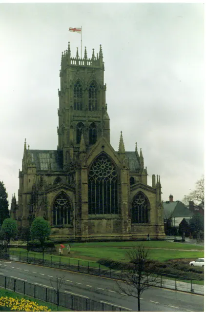
© Ron Hann · Geograph · CC BY-SA 2.0
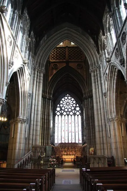
© Richard Croft · Geograph · CC BY-SA 2.0
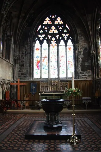
© Richard Croft · Geograph · CC BY-SA 2.0
Images © their respective photographers, licensed under CC BY-SA 2.0 and reused here with attribution. Photographs depict listed buildings, churches and monuments near this settlement and may show neighbouring villages.
Data derived from the Open Domesday project (opendomesday.org), based on the Domesday Book dataset compiled by Professor J.J.N. Palmer and team. The Domesday Book (1086) is in the public domain.
Found an inaccuracy? [email protected]