Dishforth in the Domesday Book (1086)
The settlement of Dishforth is recorded in William I’s Domesday survey of 1086, entered under the hundred of Hallikeld in Yorkshire.
Other Settlements in Hallikeld
- Brampton [Hall]
- Caldeuuelle
- Cundall
- Ellenthorpe [Hall]
- Givendale
- Hashundebi
- Holme
- Howgrave
- Hutton [Conyers]
- Kirby [Hill]
- Leckby [Palace]
- Markington
- Milby
- Norton [Conyers]
The Meaning of the Name
The name Dishforth is of Anglo-Saxon origin. Its final element derives from the Old English word ford, a river crossing. The first element is most likely a personal name or an early descriptive term, now difficult to recover with certainty. Taken together the name probably meant something close to ‘a ford’.
Remarkably, the name has changed little since 1086, when the Domesday scribes wrote it as Dishforth.
Listed Buildings Near Dishforth
Historic England records 12 listed buildings within about a mile of Dishforth. Listing protects structures of special architectural or historic interest, graded I (exceptional), II* (particularly important) and II.
Grade II
- Corner Cottage With Attached Outbuilding to Left - 0.47 km
- Laurel House - 0.52 km
- Former Christ Church with wall, railings and gates with overthrow - 0.53 km
- East View House - 0.54 km
- Crown Farmhouse - 0.54 km
- Front Wall With Gate Piers and Gates to Manor House - 0.55 km
- The Old Rectory - 0.56 km
- Manor House - 0.56 km
- Ivy Holme - 0.56 km
- Holly Cottage - 0.56 km
- Vine House - 0.58 km
- Westcott - 0.61 km
Dishforth Today
Today Dishforth lies within the administrative area of Harrogate, and the settlement recorded a population of 830 at the 2021 census. Nine and a half centuries separate that figure from the small rural community the Domesday survey recorded here in 1086.
Read more about modern Dishforth on Wikipedia .
Nearby Domesday Settlements
Other places recorded in the 1086 survey within a few miles:
- Asenby - 2.2 km NE
- Rainton - 2.8 km NW
- Raneuuat - 2.8 km NW
- Norton le Clay - 2.8 km SE
- Leckby Palace - 3.2 km E
- Caldeuuelle - 3.2 km S
Heritage Around Dishforth
Photographs of churches, listed buildings and monuments in the vicinity, contributed by volunteers to the Geograph project and reused here under a Creative Commons licence.
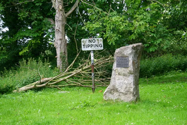
© David Rogers · Geograph · CC BY-SA 2.0
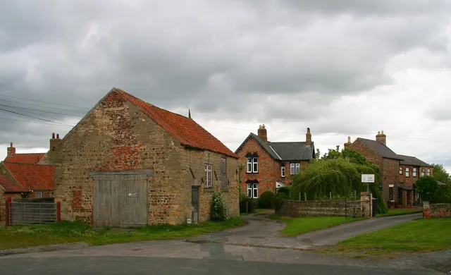
© David Rogers · Geograph · CC BY-SA 2.0
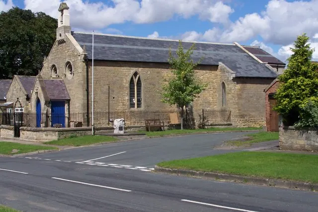
© Verner Hanna · Geograph · CC BY-SA 2.0
Images © their respective photographers, licensed under CC BY-SA 2.0 and reused here with attribution. Photographs depict listed buildings, churches and monuments near this settlement and may show neighbouring villages.
Data derived from the Open Domesday project (opendomesday.org), based on the Domesday Book dataset compiled by Professor J.J.N. Palmer and team. The Domesday Book (1086) is in the public domain.
Found an inaccuracy? [email protected]