Dimlington in the Domesday Book (1086)
Dimlington appears in the Domesday Book of 1086, entered under the hundred of Holderness [South Hundred] in Yorkshire. The survey assessed Dimlington at 2 carucates of taxable land.
At the time of the survey, Dimlington supported a recorded population of 3 villagers, 7 smallholders, working 6 ploughs between them.
By 1086 Dimlington was worth 1.5 shillings, up from 1 shilling before the Conquest – one of the few settlements in the area to hold its value through the upheaval.
Resources Recorded at Dimlington (1086)
- Woodland: 3 furlongs * 0.5 league mixed measures
Other Settlements in Holderness [South Hundred]
- Andrebi
- Burstwick
- Camerton [Hall]
- Easington
- Grimston
- Halsham
- Hilston
- Hollym
- Holmpton
- Keyingham
- Kilnsea
- Monkwith
- Newton [Garth]
- Nuthill
The Meaning of the Name
The name Dimlington is of Anglo-Saxon origin. Its final element derives from the Old English word tūn, a farmstead or village. The first element is most likely a personal name or an early descriptive term, now difficult to recover with certainty. Taken together the name probably meant something close to ‘a farmstead’.
Remarkably, the name has changed little since 1086, when the Domesday scribes wrote it as Dimlington.
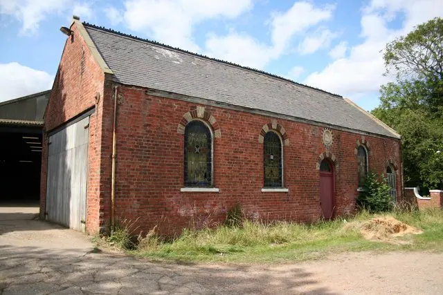
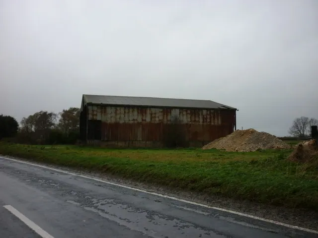
Scheduled Monuments Near Dimlington
Scheduled monuments are nationally important archaeological sites given legal protection. 1 lies within roughly a mile of Dimlington:
- Tithe barn - 1.36 km
Nearby Domesday Settlements
Other places recorded in the 1086 survey within a few miles:
- Easington - 1.0 km S
- Out Newton - 1.4 km NW
- Rysome Garth - 3.6 km NW
- Weeton - 4.0 km W
- Holmpton - 4.2 km NW
- Welwick - 5.1 km W
Heritage Around Dimlington
Photographs of churches, listed buildings and monuments in the vicinity, contributed by volunteers to the Geograph project and reused here under a Creative Commons licence.
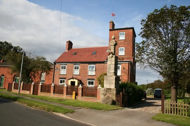
© Richard Croft · Geograph · CC BY-SA 2.0
© Richard Croft · Geograph · CC BY-SA 2.0
© Ian S · Geograph · CC BY-SA 2.0
Images © their respective photographers, licensed under CC BY-SA 2.0 and reused here with attribution. Photographs depict listed buildings, churches and monuments near this settlement and may show neighbouring villages.
Location
53.6621°N, 0.1114°E · Holderness [South Hundred] hundred, Yorkshire
View larger map on OpenStreetMap →Data derived from the Open Domesday project (opendomesday.org), based on the Domesday Book dataset compiled by Professor J.J.N. Palmer and team. The Domesday Book (1086) is in the public domain.
Found an inaccuracy? [email protected]