Dilworth House in the Domesday Book (1086)
The 1086 Domesday survey records the settlement of Dilworth House, entered under the hundred of Amounderness in Yorkshire. The survey assessed Dilworth House at 2 carucates of taxable land.
At the time of the survey, Dilworth House supported a recorded population of 10 villagers, 7 smallholders, working 6 ploughs between them.
The drop in value is hard to miss. Before 1066, Dilworth House was worth 2 shillings; by 1086 that had dropped to 1 shilling – a fall of 50%. Most Yorkshire villages that lost value on this scale were swept up in the Harrying of the North – William’s scorched-earth campaign of 1069–70.
Resources Recorded at Dilworth House (1086)
- Meadow: 1 acres
Other Settlements in Amounderness
- Aighton
- Aldcliffe
- Aldingham
- Arkholme
- Aschebi
- Ashton [Hall]
- Ashton [on Ribble]
- Austwick
- Barbon
- Bardsea
- Bare
- Barnoldswick
- Barton
- Beetham
The Meaning of the Name
The name Dilworth House is of Anglo-Saxon origin. Its final element derives from the Old English word worð, an enclosure or homestead. The first element is most likely a personal name or an early descriptive term, now difficult to recover with certainty. Taken together the name probably meant something close to ‘a enclosure’.
Remarkably, the name has changed little since 1086, when the Domesday scribes wrote it as Dilworth House.
Listed Buildings Near Dilworth House
Historic England records 8 listed buildings within about a mile of Dilworth House. Listing protects structures of special architectural or historic interest, graded I (exceptional), II* (particularly important) and II.
Grade II
- Tunnel Portal in the John Smith Playing Field - 0.56 km
- 6-44, Higher Road - 0.77 km
- Sharley Fold - 0.95 km
- Church of St Paul - 0.99 km
- Jenkinson’s Farmhouse - 1.06 km
- Dilworth Brows Farmhouse - 1.07 km
- Written Stone Farmhouse - 1.07 km
- The Written Stone - 1.11 km
Dilworth House Today
Today Dilworth House lies within the administrative area of Longridge.
Nearby Domesday Settlements
Other places recorded in the 1086 survey within a few miles:
- Wheatley - 2.2 km NE
- Ribchester - 3.6 km SE
- Grimsargh - 4.2 km SW
- Haighton Hall - 4.5 km SW
- Goosnargh - 6.1 km W
- Chipping - 6.1 km N
Heritage Around Dilworth [House]
Photographs of churches, listed buildings and monuments in the vicinity, contributed by volunteers to the Geograph project and reused here under a Creative Commons licence.
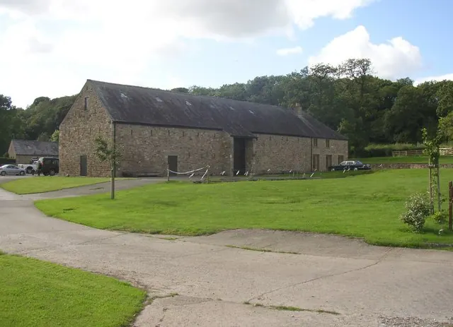
© Humphrey Bolton · Geograph · CC BY-SA 2.0
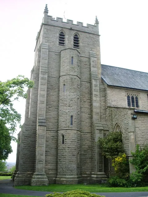
© Alexander P Kapp · Geograph · CC BY-SA 2.0
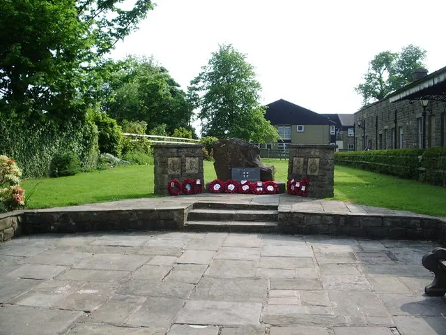
© Alexander P Kapp · Geograph · CC BY-SA 2.0
Images © their respective photographers, licensed under CC BY-SA 2.0 and reused here with attribution. Photographs depict listed buildings, churches and monuments near this settlement and may show neighbouring villages.
Data derived from the Open Domesday project (opendomesday.org), based on the Domesday Book dataset compiled by Professor J.J.N. Palmer and team. The Domesday Book (1086) is in the public domain.
Found an inaccuracy? [email protected]