Dewsbury in the Domesday Book (1086)
The settlement of Dewsbury is recorded in William I’s Domesday survey of 1086, entered under the hundred of Morley in Yorkshire.
Other Settlements in Morley
- Allerton
- Armley
- Batley
- Beeston
- Bolton
- Bowling
- Bradford
- Bramley
- Calverley
- Carlton
- Chellow [Grange]
- Clayton
- Clifton
- Cruttonstall
The Meaning of the Name
The name Dewsbury is of Anglo-Saxon origin. Its final element derives from the Old English word burh, a fortified place. The first element is most likely a personal name or an early descriptive term, now difficult to recover with certainty. Taken together the name probably meant something close to ‘a stronghold’.
Remarkably, the name has changed little since 1086, when the Domesday scribes wrote it as Dewsbury.
Listed Buildings Near Dewsbury
Historic England records 86 listed buildings within about a mile of Dewsbury. Listing protects structures of special architectural or historic interest, graded I (exceptional), II* (particularly important) and II.
Grade II*
- Church of All Saints - 0.05 km
- Dewsbury Town Hall, including former Magistrates’ Court - 0.3 km
Grade II
- United Reformed Church - 0.2 km
- 41 Daisy Hill, Dewsbury including setted rear yard - 0.22 km
- 63 Daisy Hill - 0.24 km
- 85 and 87, Daisy Hill - 0.25 km
- 26, MARKET PLACE (See details for further address information) - 0.27 km
- 30 and 32, Market Place - 0.27 km
- Retaining Wall Gatepiers and Railings to Central Methodist Church - 0.27 km
- 2-6 (even) Nelson Street and 1 and 1a Wellington Street - 0.28 km
- Former Fox’s auctioneers at 2 and 4 Grove Street, Dewsbury including gate piers, yard paving and rear extension fronting Oates Street - 0.29 km
- 14 and 16, Market Place - 0.3 km
- Pair of Telephone Kiosks on Central Reservation - 0.3 km
- 3 Wellington Street - 0.3 km
- Central Methodist Church - 0.31 km
- HSBC, 14A, Market Place - 0.31 km
- 23 and 25 Wellington Road - 0.31 km
- 27 and 29 Wellington Road and 8-16 (even) Nelson Street - 0.31 km
- 15, 17, 19 and 21, Market Place - 0.32 km
- Barclay’s Bank - 0.32 km
- Telephone Kiosk Outside Entrance to Town Hall - 0.32 km
- 21 Wellington Road - 0.32 km
- 27, Market Place - 0.33 km
- The Black Bull Public House - 0.33 km
…and 62 more listed structures in the area.
Dewsbury Today
Today Dewsbury lies within the administrative area of Kirklees, and the settlement recorded a population of 62,945 at the 2011 census. Nine and a half centuries separate that figure from the small rural community the Domesday survey recorded here in 1086.
Read more about modern Dewsbury on Wikipedia .
Nearby Domesday Settlements
Other places recorded in the 1086 survey within a few miles:
- Earlsheaton - 1.0 km E
- Hanging Heaton - 2.2 km NE
- Batley - 3.0 km N
- Thornhill - 3.0 km S
- Ossett - 3.2 km E
- Mirfield - 4.1 km W
Heritage Around Dewsbury
Photographs of churches, listed buildings and monuments in the vicinity, contributed by volunteers to the Geograph project and reused here under a Creative Commons licence.
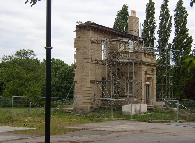
© Humphrey Bolton · Geograph · CC BY-SA 2.0
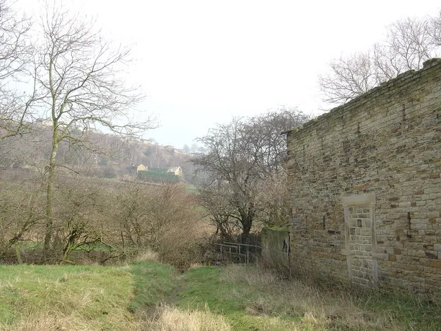
© Donald Wilkinson · Geograph · CC BY-SA 2.0
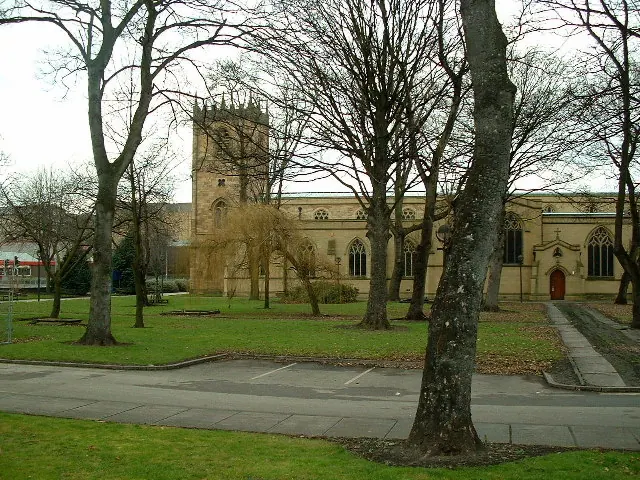
© Nigel Homer · Geograph · CC BY-SA 2.0
Images © their respective photographers, licensed under CC BY-SA 2.0 and reused here with attribution. Photographs depict listed buildings, churches and monuments near this settlement and may show neighbouring villages.
Data derived from the Open Domesday project (opendomesday.org), based on the Domesday Book dataset compiled by Professor J.J.N. Palmer and team. The Domesday Book (1086) is in the public domain.
Found an inaccuracy? [email protected]