Derby in the Domesday Book (1086)
The 1086 Domesday survey records the settlement of Derby, entered under the hundred of Morleystone in Derbyshire.
Other Settlements in Morleystone
- Bradley
- Breadsall
- Breaston
- Cellesdene
- Chaddesden
- Codnor
- Crich
- Denby
- Draycott
- Duffield
- Hallam
- Heanor
- Herdebi
- Holbrook
The Meaning of the Name
The name Derby is of Scandinavian origin. Its final element derives from the Old Norse word bý, a farmstead or village. The first element is most likely a personal name or an early descriptive term, now difficult to recover with certainty. Taken together the name probably meant something close to ‘a farmstead’.
Names of this type are a fingerprint of Scandinavian settlement: they cluster across the old Danelaw, where Norse-speaking settlers renamed or founded villages from the late 9th century onward.
Remarkably, the name has changed little since 1086, when the Domesday scribes wrote it as Derby.
Listed Buildings Near Derby
Historic England records 229 listed buildings within about a mile of Derby. Listing protects structures of special architectural or historic interest, graded I (exceptional), II* (particularly important) and II.
Grade I
- Bakewell’s Gates at The Silk Mill Industrial Museum - 0.3 km
- Cathedral Church of All Saints - 0.37 km
Grade II*
- St Marys Bridge - 0.37 km
Grade II
- Magistrates Court - 0.2 km
- Silk Mill Museum Of Making - 0.3 km
- 33, Market Place - 0.33 km
- Market Hall - 0.33 km
- Northcliffe House - 0.33 km
- 6-7, Iron Gate - 0.34 km
- Guildhall - 0.34 km
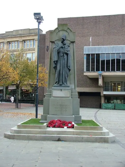
- War Memorial - 0.34 km
- 10, Iron Gate - 0.35 km
- 9, Iron Gate - 0.36 km
- 35-36, Market Place - 0.36 km
- 2, Amen Alley - 0.37 km
- 11 Iron Gate - 0.37 km
- 3-4, Iron Gate - 0.37 km
- 15-17, Iron Gate - 0.38 km
- 37-38, Corn Market - 0.39 km
- 40, Iron Gate - 0.39 km
- 34-36, Corn Market - 0.39 km
- 1 and 3, College Place - 0.39 km
- Two Posts at West End of College Place - 0.4 km
- Lloyds Bank - 0.4 km
…and 205 more listed structures in the area.
Scheduled Monuments Near Derby
Scheduled monuments are nationally important archaeological sites given legal protection. 4 lie within roughly a mile of Derby:
- St Mary’s Bridge - 0.38 km
- Roman bath house at Parker’s Piece - 0.92 km
- Littlechester Roman site - 1.11 km
- Derby Racecourse Roman vicus and cemetery - 1.23 km
Nearby Domesday Settlements
Other places recorded in the 1086 survey within a few miles:
- Little Chester - 1.0 km N
- Chaddesden - 2.2 km NE
- Markeaton - 2.2 km NW
- Litchurch - 2.2 km SE
- Breadsall - 3.2 km N
- Normanton - 3.2 km S
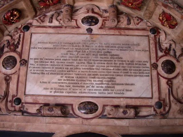
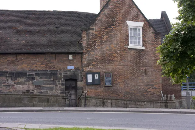
Heritage Around Derby
Photographs of churches, listed buildings and monuments in the vicinity, contributed by volunteers to the Geograph project and reused here under a Creative Commons licence.
© J147 · Geograph · CC BY-SA 2.0
© Keith Edkins · Geograph · CC BY-SA 2.0
© Rob Bradford · Geograph · CC BY-SA 2.0
Images © their respective photographers, licensed under CC BY-SA 2.0 and reused here with attribution. Photographs depict listed buildings, churches and monuments near this settlement and may show neighbouring villages.
Data derived from the Open Domesday project (opendomesday.org), based on the Domesday Book dataset compiled by Professor J.J.N. Palmer and team. The Domesday Book (1086) is in the public domain.
Found an inaccuracy? [email protected]