Denton in the Domesday Book (1086)
Denton appears in the Domesday Book of 1086, entered under the hundred of Skyrack in Yorkshire.
Other Settlements in Skyrack
- Adel
- Allerton [Bywater]
- Alwoodley
- Arthington
- Austhorpe
- Baildon
- Bardsey
- Barwick [in Elmet]
- Bichertun
- Bicherun
- Bingley
- Birkby [Hill]
- Bramhope
- Burden [Head]
The Meaning of the Name
The name Denton is of Anglo-Saxon origin. Its final element derives from the Old English word tūn, a farmstead or village. The first element is most likely a personal name or an early descriptive term, now difficult to recover with certainty. Taken together the name probably meant something close to ‘a farmstead’.
Remarkably, the name has changed little since 1086, when the Domesday scribes wrote it as Denton.
Listed Buildings Near Denton
Historic England records 20 listed buildings within about a mile of Denton. Listing protects structures of special architectural or historic interest, graded I (exceptional), II* (particularly important) and II.
Grade I
Grade II*
- Church of St Helen - 0.46 km
Grade II
- Former Stables and Coach-house Approximatelty 100 Metres North-west of Denton Park - 0.34 km
- Gate Piers and Gates to North-west of Denton Hall - 0.37 km
- Church Farmhouse - 0.4 km
- 1-6, Church Row - 0.49 km
- K6 Telephone Kiosk - 0.55 km
- The Fountain - 0.58 km
- 1-3, School Row - 0.59 km
- Old School and Schoolhouse - 0.6 km
- Bridge Over Hundwith Gill - 0.72 km
- Well Head at Se 1485 4918 - 0.75 km
- Walling to Drive Entrance North of Wheatley Grange, West Section of Which Extends Almost to North East Corner of House - 0.93 km
- East Lodges to Denton Park With Walls Flanking Drive to East - 0.94 km
- Wheatley Grange - 0.96 km
- Barn South of Wheatley Grange, Adjacent to House and in Same Axis - 0.98 km
- Outbuildings Enclosing the Farmyard of Wheatley Grange on North, West and South to the West of House - 0.99 km
- Carr Farmhouse - 1.09 km
- Saxon Lodge - 1.27 km
- Gatepiers Alongside Saxon Lodge, to the West - 1.27 km
Scheduled Monuments Near Denton
Scheduled monuments are nationally important archaeological sites given legal protection. 2 lie within roughly a mile of Denton:
- Cup and grooved marked rock in tree line between New Close Quarry and Poppling Well Beck, 280m south west of Whitbeck Manor - 1.26 km
- Cup and groove marked rock east of New Close Quarry, 300m south west of Whitbeck Manor - 1.3 km
Denton Today
Today Denton lies within the administrative area of Harrogate, and the settlement recorded a population of 99 at the 2021 census. Nine and a half centuries separate that figure from the small rural community the Domesday survey recorded here in 1086.
Read more about modern Denton on Wikipedia .
Nearby Domesday Settlements
Other places recorded in the 1086 survey within a few miles:
Heritage Around Denton
Photographs of churches, listed buildings and monuments in the vicinity, contributed by volunteers to the Geograph project and reused here under a Creative Commons licence.
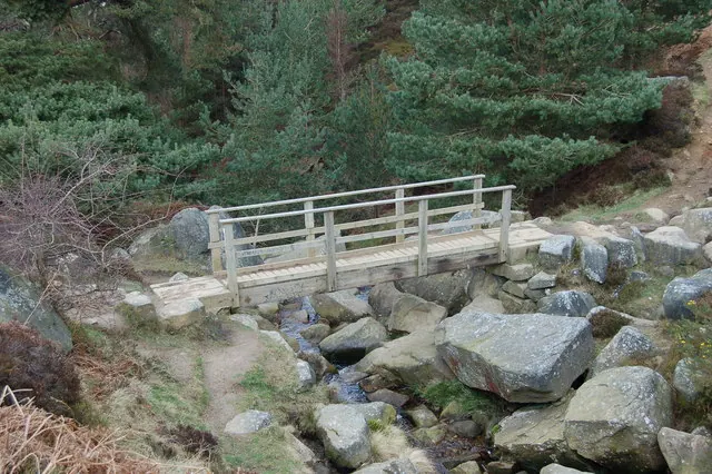
© John Sparshatt · Geograph · CC BY-SA 2.0
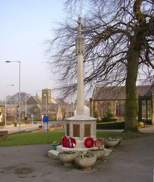
© Humphrey Bolton · Geograph · CC BY-SA 2.0
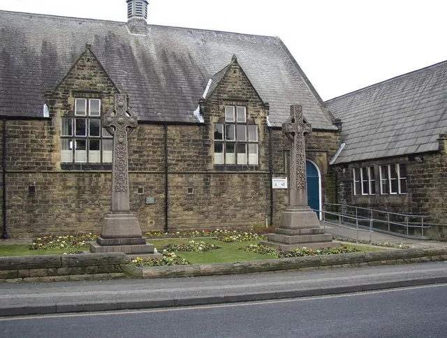
© Humphrey Bolton · Geograph · CC BY-SA 2.0
Images © their respective photographers, licensed under CC BY-SA 2.0 and reused here with attribution. Photographs depict listed buildings, churches and monuments near this settlement and may show neighbouring villages.
Data derived from the Open Domesday project (opendomesday.org), based on the Domesday Book dataset compiled by Professor J.J.N. Palmer and team. The Domesday Book (1086) is in the public domain.
Found an inaccuracy? [email protected]