Darrington in the Domesday Book (1086)
The 1086 Domesday survey records the settlement of Darrington, entered under the hundred of Osgodcross in Yorkshire. The survey assessed Darrington at 2.4 carucates of taxable land.
At the time of the survey, Darrington supported a recorded population of 17 villagers, 16 freemanmen, working 13 ploughs between them.
Resources Recorded at Darrington (1086)
- Meadow: 20 acres
- Woodland: 1 * 0.5 furlongs
Other Settlements in Osgodcross
- Arksey
- Badsworth
- Beal
- Burgh[wallis]
- Campsall
- Featherstone
- Ferry [Fryston]
- Hamphall [Stubbs]
- Hensall
- Hessle
- Kellington
- Knottingley
- Minsthorpe
- Newsham
The Meaning of the Name
The name Darrington is of Anglo-Saxon origin. Its final element derives from the Old English word tūn, a farmstead or village. The first element is most likely a personal name or an early descriptive term, now difficult to recover with certainty. Taken together the name probably meant something close to ‘a farmstead’.
Remarkably, the name has changed little since 1086, when the Domesday scribes wrote it as Darrington.
Listed Buildings Near Darrington
Historic England records 8 listed buildings within about a mile of Darrington. Listing protects structures of special architectural or historic interest, graded I (exceptional), II* (particularly important) and II.
Grade I
- Church of St Luke and All Saints - 0.31 km
Grade II
- Two Heaton Monuments Close to Junction of South Aisle and Chancel of Church of St Luke and All Saints - 0.31 km
- Pedestal and Shaft of Cross Approximately 3 Metres to South of Porch of Church of St Luke and All Saints - 0.32 km
- Church House - 0.32 km
- Darrington Church of England School - 0.33 km
- Mounting Steps Attached to Wall on East Side of Forecourt to Lych Gate of Church of St Luke and All Saints - 0.36 km
- House Opposite Junction With Church Lane - 0.45 km
- Stable Block Approximately 50 Metres East of Darrington Hall - 0.58 km
Scheduled Monuments Near Darrington
Scheduled monuments are nationally important archaeological sites given legal protection. 1 lies within roughly a mile of Darrington:
Darrington Today
Today Darrington lies within the administrative area of Wakefield, and the settlement recorded a population of 1,402 at the 2021 census. Nine and a half centuries separate that figure from the small rural community the Domesday survey recorded here in 1086.
Read more about modern Darrington on Wikipedia .
Nearby Domesday Settlements
Other places recorded in the 1086 survey within a few miles:
- Stapleton - 3.2 km E
- Tanshelf - 3.6 km NW
- Ferry Fryston - 4.0 km N
- High and Low Ackworth - 4.5 km SW
- Knottingley - 4.5 km NE
- Thorpe Audlin - 5.0 km S
Heritage Around Darrington
Photographs of churches, listed buildings and monuments in the vicinity, contributed by volunteers to the Geograph project and reused here under a Creative Commons licence.
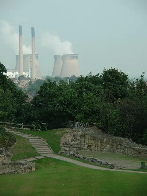
© Paul Johnston-Knight · Geograph · CC BY-SA 2.0
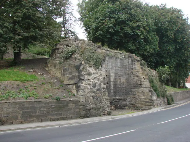
© Bill Henderson · Geograph · CC BY-SA 2.0
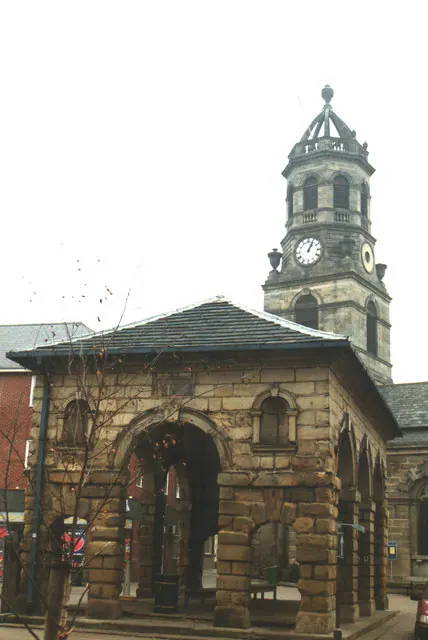
© Bill Henderson · Geograph · CC BY-SA 2.0
Images © their respective photographers, licensed under CC BY-SA 2.0 and reused here with attribution. Photographs depict listed buildings, churches and monuments near this settlement and may show neighbouring villages.
Data derived from the Open Domesday project (opendomesday.org), based on the Domesday Book dataset compiled by Professor J.J.N. Palmer and team. The Domesday Book (1086) is in the public domain.
Found an inaccuracy? [email protected]