Danby in the Domesday Book (1086)
The settlement of Danby is recorded in William I’s Domesday survey of 1086, entered under the hundred of Land of Count Alan in Yorkshire.
Other Settlements in Land of Count Alan
- Achebi
- Agglethorpe
- Ainderby [Mires]
- Ainderby [Quernhow]
- Aiskew
- Aldbrough
- Allerthorpe [Hall]
- Ascam
- Ascham
- Asebi
- Aske [Hall]
- Askrigg
- Aysgarth
- Baldersby
The Meaning of the Name
The name Danby is of Scandinavian origin. Its final element derives from the Old Norse word bý, a farmstead or village. The first element is most likely a personal name or an early descriptive term, now difficult to recover with certainty. Taken together the name probably meant something close to ‘a farmstead’.
Names of this type are a fingerprint of Scandinavian settlement: they cluster across the old Danelaw, where Norse-speaking settlers renamed or founded villages from the late 9th century onward.
Remarkably, the name has changed little since 1086, when the Domesday scribes wrote it as Danby.
Listed Buildings Near Danby
Historic England records 15 listed buildings within about a mile of Danby. Listing protects structures of special architectural or historic interest, graded I (exceptional), II* (particularly important) and II.
Grade I
- Danby Hall - 0.44 km
Grade II
- Stable Block and Adjoining Gate-piers at Danby Hall - 0.41 km
- Gate-piers Approximately 12 Metres East of Stable Block at Danby Hall - 0.44 km
- Terrace Retaining Wall to South of Danby Hall - 0.46 km
- Gate-piers Approximately 100 Metres East From South Front of Danby Hall - 0.48 km
- Gates, Gate-piers, Wall and Terminal Piers at Eagle Lodge - 0.5 km
- Gate-piers Approximately 100 Metres to North-east of Danby Hall - 0.5 km
- Guide Stone Opposite Eagle Lodge Gates - 0.51 km
- Danby Mill and Mill House - 0.54 km
- Church of St Simon and St Jude - 1.01 km
- Presbytery and Attached Stable - 1.02 km
- Hallwith House - 1.03 km
- Ulshaw Bridge - 1.11 km
- Cover Bridge Inn - 1.24 km
- Cover Bridge - 1.24 km
Scheduled Monuments Near Danby
Scheduled monuments are nationally important archaeological sites given legal protection. 1 lies within roughly a mile of Danby:
- Ulshaw Bridge - 1.11 km
Danby Today
Today Danby lies within the administrative area of Thornton Steward.
Nearby Domesday Settlements
Other places recorded in the 1086 survey within a few miles:
- Hutton Hang - 1.4 km NE
- Ascam - 1.4 km SW
- Ascham - 1.4 km SW
- East Witton - 1.4 km SW
- Thornton Steward - 2.0 km E
- Spennithorne - 2.2 km NW
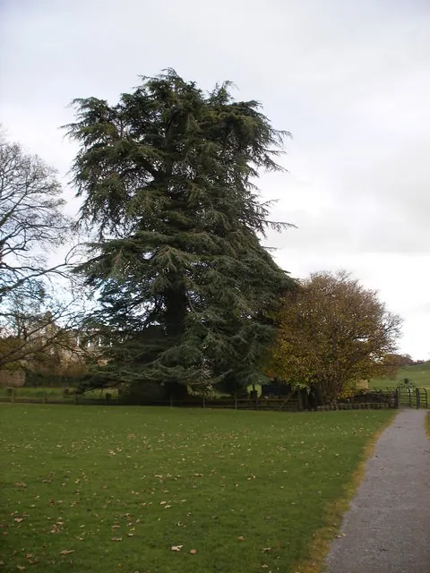
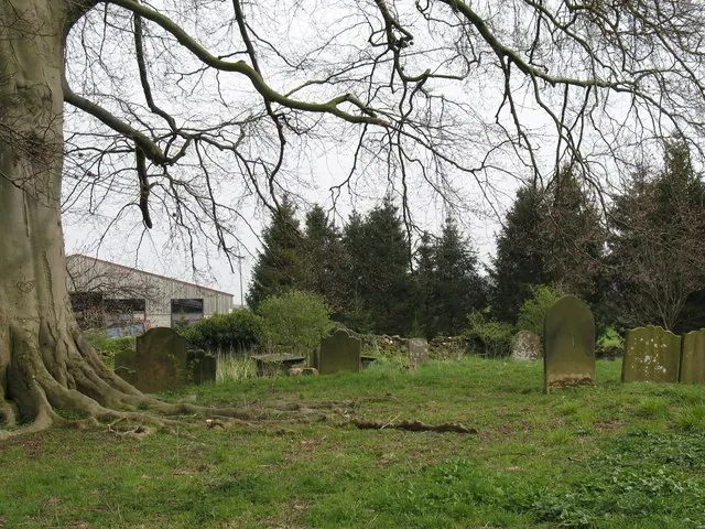
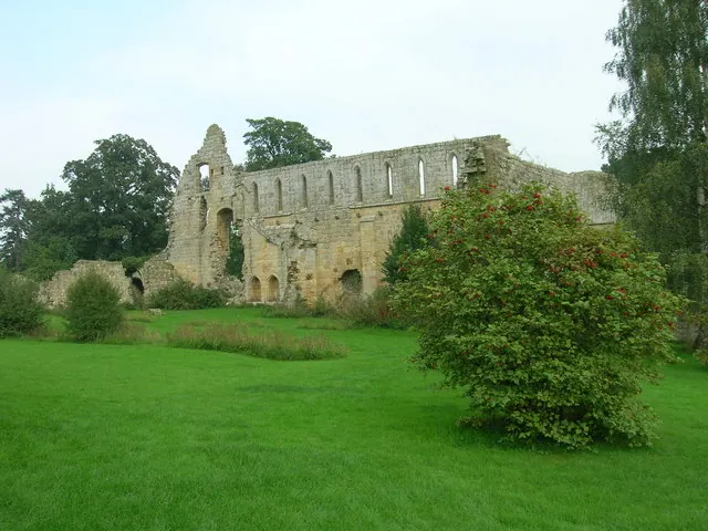
Heritage Around Danby
Photographs of churches, listed buildings and monuments in the vicinity, contributed by volunteers to the Geograph project and reused here under a Creative Commons licence.
© SMJ · Geograph · CC BY-SA 2.0
© Gordon Hatton · Geograph · CC BY-SA 2.0
© JThomas · Geograph · CC BY-SA 2.0
Images © their respective photographers, licensed under CC BY-SA 2.0 and reused here with attribution. Photographs depict listed buildings, churches and monuments near this settlement and may show neighbouring villages.
Location
54.2827°N, -1.7619°W · Land of Count Alan hundred, Yorkshire
View larger map on OpenStreetMap →Data derived from the Open Domesday project (opendomesday.org), based on the Domesday Book dataset compiled by Professor J.J.N. Palmer and team. The Domesday Book (1086) is in the public domain.
Found an inaccuracy? [email protected]