Dalton in Furness in the Domesday Book (1086)
The settlement of Dalton in Furness is recorded in William I’s Domesday survey of 1086, entered under the hundred of Amounderness in Yorkshire.
Other Settlements in Amounderness
- Aighton
- Aldcliffe
- Aldingham
- Arkholme
- Aschebi
- Ashton [Hall]
- Ashton [on Ribble]
- Austwick
- Barbon
- Bardsea
- Bare
- Barnoldswick
- Barton
- Beetham
The Meaning of the Name
The name Dalton in Furness is of Anglo-Saxon origin. Its final element derives from the Old English word tūn, a farmstead or village. The first element is most likely a personal name or an early descriptive term, now difficult to recover with certainty. Taken together the name probably meant something close to ‘a farmstead’.
Remarkably, the name has changed little since 1086, when the Domesday scribes wrote it as Dalton in Furness.
Listed Buildings Near Dalton in Furness
Historic England records 63 listed buildings within about a mile of Dalton in Furness. Listing protects structures of special architectural or historic interest, graded I (exceptional), II* (particularly important) and II.
Grade II
- The Clarence Inn - 0.41 km
- Lime Kiln at Ngr 2321 7468 - 0.43 km
- Seventh Day Adventist Church With Attached Railings - 0.43 km
- 2-8, Ulverston Road - 0.49 km
- 16 and 16A, Tudor Square - 0.51 km
- 148, 150 and 152, Market Street - 0.54 km
- 18, 19 and 20 Tudor Square - 0.54 km
- Cornerstone House - 0.69 km
- Number 96 and Front Garden Wall - 0.7 km
- Beckside Conservative Club - 0.73 km
- Outbuildings to Rear of Former Local Board Offices - 0.74 km
- Dalton Public Library - 0.75 km
- Natwest Bank and Bank Chambers - 0.76 km
- Former Local Board Offices - 0.76 km
- Chappells Tavern - 0.77 km
- War Memorial - 0.78 km
- Former Weslyan Sunday School - 0.79 km
- 54, Market Street - 0.84 km
- Ashburner House at Dowdales School - 0.84 km
- 47, 49 and 51, Market Street - 0.86 km
- Empire House - 0.87 km
- 33, Market Street - 0.89 km
- 46, Market Street - 0.9 km
- 44, Market Street - 0.9 km
…and 39 more listed structures in the area.
Scheduled Monuments Near Dalton in Furness
Scheduled monuments are nationally important archaeological sites given legal protection. 1 lies within roughly a mile of Dalton in Furness:
- Dalton Castle - 1.1 km
Dalton in Furness Today
Today Dalton in Furness lies within the administrative area of Dalton Town with Newton, and the settlement recorded a population of 7,827 at recent figures. Nine and a half centuries separate that figure from the small rural community the Domesday survey recorded here in 1086.
Read more about modern Dalton-in-Furness on Wikipedia .
Nearby Domesday Settlements
Other places recorded in the 1086 survey within a few miles:
- Wart - 0.0 km N
- Killerwick - 1.0 km W
- Orgrave - 1.0 km N
- Stainton - 2.2 km SE
- Bolton Farm - 2.8 km SE
- Martin - 3.2 km N
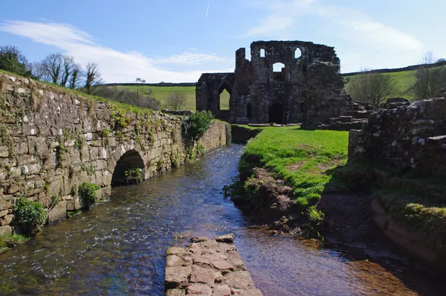
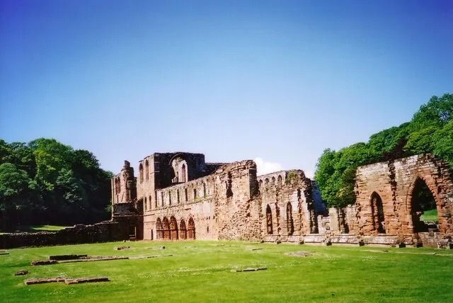
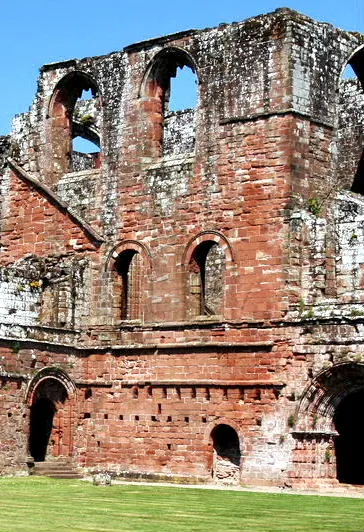
Heritage Around Dalton [in Furness]
Photographs of churches, listed buildings and monuments in the vicinity, contributed by volunteers to the Geograph project and reused here under a Creative Commons licence.
© Ian Taylor · Geograph · CC BY-SA 2.0
© Ruth Riddle · Geograph · CC BY-SA 2.0
© nick macneill · Geograph · CC BY-SA 2.0
Images © their respective photographers, licensed under CC BY-SA 2.0 and reused here with attribution. Photographs depict listed buildings, churches and monuments near this settlement and may show neighbouring villages.
Data derived from the Open Domesday project (opendomesday.org), based on the Domesday Book dataset compiled by Professor J.J.N. Palmer and team. The Domesday Book (1086) is in the public domain.
Found an inaccuracy? [email protected]