Dalton in the Domesday Book (1086)
Dalton appears in the Domesday Book of 1086, entered under the hundred of Agbrigg in Yorkshire. The survey assessed Dalton at 30 carucates of taxable land.
At the time of the survey, Dalton supported a recorded population of 69 villagers, 17 smallholders, 49 slaves, working 58 ploughs between them.
The numbers record a sharp fall. Before 1066, Dalton was worth 38 shillings; by 1086 that had dropped to 33 shillings – a fall of 13%. Most Yorkshire villages that lost value on this scale were swept up in the Harrying of the North – William’s scorched-earth campaign of 1069–70.
Resources Recorded at Dalton (1086)
- Mills: 4 mills (valued at 18d)
- Meadow: 10 acres
- Woodland: 1 * 0.5 leagues
Other Settlements in Agbrigg
- Ackton
- Almondbury
- Austonley
- Bradley
- Cartworth
- Crigglestone
- Crofton
- Emley
- Farnley [Tyas]
- Flockton
- Fulstone
- Golcar
- Hepworth
- Holme
The Meaning of the Name
The name Dalton is of Anglo-Saxon origin. Its final element derives from the Old English word tūn, a farmstead or village. The first element is most likely a personal name or an early descriptive term, now difficult to recover with certainty. Taken together the name probably meant something close to ‘a farmstead’.
Remarkably, the name has changed little since 1086, when the Domesday scribes wrote it as Dalton.
Listed Buildings Near Dalton
Historic England records 36 listed buildings within about a mile of Dalton. Listing protects structures of special architectural or historic interest, graded I (exceptional), II* (particularly important) and II.
Grade II*
- Church of St John Baptist - 0.8 km
Grade II
- 2.25 Miles Post in Front of Number 24 - 0.44 km
- 135, Fleming House Lane - 0.47 km
- 145-149, Fleming House Lane - 0.55 km
- 142, Fleming House Lane - 0.57 km
- 12, 14 and 18, Lascelles Hall Road - 0.6 km
- 2-8, Lascelles Hall Road - 0.61 km
- Lascelles Hall - 0.66 km
- 94A and 96, Lascelles Hall Road - 0.68 km
- 112, Lascelles Hall Road - 0.69 km
- Stable Block and Barn 100 Yards East of Lascelles Hall - 0.72 km
- 1-7, School Lane - 0.77 km
- Graveslab About 10 Yards to East of Church, to 17 Victims of Mill Fire at Colne Bridge - 0.81 km
- Monument 10 Yards to East of Church of St John to Victims of Mill Fire at Colne Bridge - 0.81 km
- The Beaumont Arms Public House and Adjoining Barns to East - 0.82 km
- 246, Fleming House Lane - 0.91 km
- Roebuck Memorial Homes Including the Terrace and Boundary Walls - 0.94 km
- Dalton Lodge - 0.97 km
- Finthorpe - 0.98 km
- Thorpe Farmhouse - 0.98 km
- Finthorpe Cottage - 0.98 km
- Stable and Coachhouse to Finthorpe - 0.99 km
- Wall to East of Number 245 Running As Far As Stable and Coachhouse - 1.0 km
- Greenhead - 1.0 km
…and 12 more listed structures in the area.
Dalton Today
Today Dalton lies within the administrative area of Huddersfield, and the settlement recorded a population of 518 at recent figures. Nine and a half centuries separate that figure from the small rural community the Domesday survey recorded here in 1086.
Read more about modern Dalton on Wikipedia .
Nearby Domesday Settlements
Other places recorded in the 1086 survey within a few miles:
- Kirkheaton - 1.4 km NE
- Almondbury - 1.4 km SW
- Upper Hopton - 2.8 km NE
- Huddersfield - 3.0 km W
- Lepton - 3.2 km E
- Bradley - 4.0 km N
Heritage Around Dalton
Photographs of churches, listed buildings and monuments in the vicinity, contributed by volunteers to the Geograph project and reused here under a Creative Commons licence.
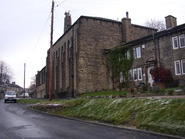
© Humphrey Bolton · Geograph · CC BY-SA 2.0
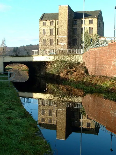
© Nigel Homer · Geograph · CC BY-SA 2.0
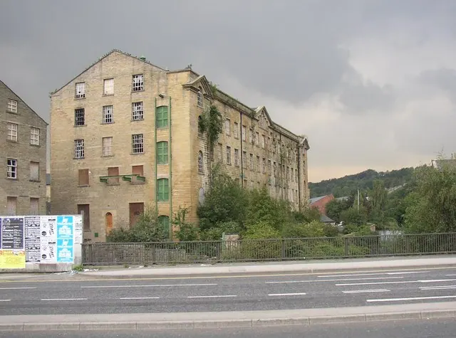
© Humphrey Bolton · Geograph · CC BY-SA 2.0
Images © their respective photographers, licensed under CC BY-SA 2.0 and reused here with attribution. Photographs depict listed buildings, churches and monuments near this settlement and may show neighbouring villages.
Data derived from the Open Domesday project (opendomesday.org), based on the Domesday Book dataset compiled by Professor J.J.N. Palmer and team. The Domesday Book (1086) is in the public domain.
Found an inaccuracy? [email protected]