Dadsley in the Domesday Book (1086)
Dadsley is named in the Domesday Book, compiled by Norman commissioners in 1086, entered under the hundred of Strafforth in Yorkshire.
Other Settlements in Strafforth
- Adwick [le Street]
- Adwick [upon Dearne]
- Armthorpe
- Aston
- Attercliffe
- Auckley
- Aughton [Hall]
- Austerfield
- Balby
- Barnbrough
- Barnby [Dun]
- Bentley
- Bilham [House]
- Billingley
The Meaning of the Name
The name Dadsley is of Anglo-Saxon origin. Its final element derives from the Old English word lēah, a woodland clearing or glade. The first element is most likely a personal name or an early descriptive term, now difficult to recover with certainty. Taken together the name probably meant something close to ‘a clearing’.
Remarkably, the name has changed little since 1086, when the Domesday scribes wrote it as Dadsley.
Listed Buildings Near Dadsley
Historic England records 101 listed buildings within about a mile of Dadsley. Listing protects structures of special architectural or historic interest, graded I (exceptional), II* (particularly important) and II.
Grade II*
- Tickhill Castle House - 0.53 km
- Lindrick House - 0.59 km
Grade II
- Barn in Castle Farmyard to South East of Castle Farm Cottage - 0.4 km
- Castle Farm Cottage - 0.43 km
- Mill Farm House - 0.43 km
- Tickhill Mill - 0.45 km
- Number 3 and Attached Stables - 0.59 km
- Ancillary building to south-west of Number 3, bordering Paper Mill Dike - 0.6 km
- Castle Folds Farmhouse - 0.6 km
- Rolan Bridge - 0.61 km
- Milestone at Corner of Westgate and Castlegate, Between the Police House and the Carpenters Arms - 0.62 km
- The Garth - 0.64 km
- 56, Castlegate - 0.64 km
- Stable Behind and to North East of Carpenters Arms - 0.64 km
- Westgate House - 0.65 km
- 39 and 41, Castlegate - 0.65 km
- 2, Westgate - 0.66 km
- 33 and 35, Castle Gate - 0.67 km
- 10, Westgate - 0.68 km
- 12, Westgate - 0.69 km
- 23, Westgate - 0.69 km
- Wall and railings immediately in front of number 14 - 0.7 km
- 31, Castlegate - 0.71 km
- Westgate Lodge - 0.71 km
…and 77 more listed structures in the area.
Scheduled Monuments Near Dadsley
Scheduled monuments are nationally important archaeological sites given legal protection. 1 lies within roughly a mile of Dadsley:
- Tickhill Castle - 0.47 km
Nearby Domesday Settlements
Other places recorded in the 1086 survey within a few miles:
- Stancil - 3.2 km N
- Wilsic Hall - 4.2 km NW
- Littleworth - 6.7 km NE
- Hooton Levitt - 7.1 km W
- Maltby - 7.1 km W
- Austerfield - 7.3 km E
Heritage Around Dadsley
Photographs of churches, listed buildings and monuments in the vicinity, contributed by volunteers to the Geograph project and reused here under a Creative Commons licence.
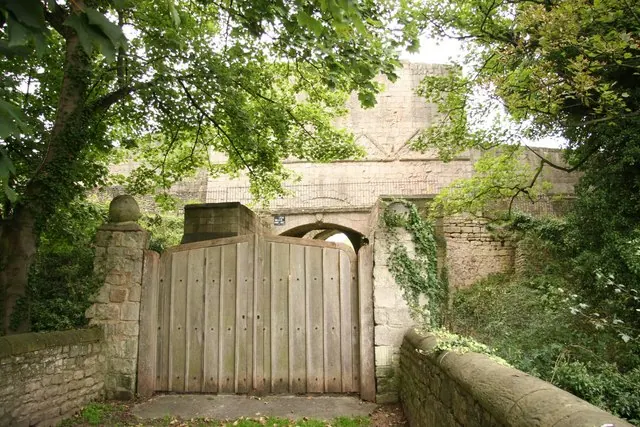
© Richard Croft · Geograph · CC BY-SA 2.0
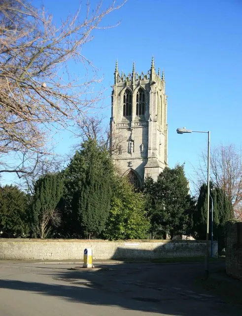
© roger geach · Geograph · CC BY-SA 2.0
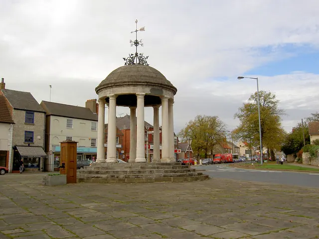
© Steve Fareham · Geograph · CC BY-SA 2.0
Images © their respective photographers, licensed under CC BY-SA 2.0 and reused here with attribution. Photographs depict listed buildings, churches and monuments near this settlement and may show neighbouring villages.
Data derived from the Open Domesday project (opendomesday.org), based on the Domesday Book dataset compiled by Professor J.J.N. Palmer and team. The Domesday Book (1086) is in the public domain.
Found an inaccuracy? [email protected]