Cruttonstall in the Domesday Book (1086)
Cruttonstall appears in the Domesday Book of 1086, entered under the hundred of Morley in Yorkshire. The survey assessed Cruttonstall at 10.5 carucates of taxable land.
At the time of the survey, Cruttonstall supported a recorded population of 4 villagers, 4 smallholders, 3 slaves, working 2 ploughs between them.
The numbers record a sharp fall. Before 1066, Cruttonstall was worth 5 shillings; by 1086 that had dropped to 4 shillings – a fall of 19%. Most Yorkshire villages that lost value on this scale were swept up in the Harrying of the North – William’s scorched-earth campaign of 1069–70.
Resources Recorded at Cruttonstall (1086)
- Churches: 1
Other Settlements in Morley
- Allerton
- Armley
- Batley
- Beeston
- Bolton
- Bowling
- Bradford
- Bramley
- Calverley
- Carlton
- Chellow [Grange]
- Clayton
- Clifton
- Dewsbury
The Meaning of the Name
The origin of the name Cruttonstall is not securely established from its modern form alone; like many settlement names in the North it likely combines an Old English or Old Norse personal name with a landscape term.
Remarkably, the name has changed little since 1086, when the Domesday scribes wrote it as Cruttonstall.
Listed Buildings Near Cruttonstall
Historic England records 79 listed buildings within about a mile of Cruttonstall. Listing protects structures of special architectural or historic interest, graded I (exceptional), II* (particularly important) and II.
Grade II
- Bents - 0.07 km
- Barn 10 Metres South East of Number 10 Horsehold - 0.35 km
- Horsehold - 0.36 km
- Horsehold and Attached Barn - 0.37 km
- Horsehold - 0.38 km
- Horsehold - 0.39 km
- Horsehold - 0.4 km
- Pinnacle - 0.42 km
- Cottage and Attached Cattle Shade and Cowhouse 15 Metres to West of Erringden Grange Farmhouse - 0.42 km
- Cottage and Outbuilding 25 Metres to North of Erringden Grange Farmhouse and Attached Cart Shed - 0.42 km
- Erringden Grange Farmhouse and Attached Barn - 0.44 km
- Weasel Hall Weasel Hall Cottage - 0.57 km
- Old Chamber - 0.65 km
- Rochdale Canal Lock Number 10 - 0.69 km
- Bridge Over Stream - 0.7 km
- Rochdale Canal Lock Number 11 - 0.7 km
- Rochdale Canal Lock House on North Side of Lock Number 11 - 0.71 km
- Manchester and Leeds Railway Whitely Arches Railway Viaduct Over the Halifax Road - 0.72 km
- Stubbings Bridge, Rochdale Canal - 0.72 km
- Calderside House Rock Dene - 0.74 km
- 5, Stubbing Square - 0.74 km
- The Neptune - 0.75 km
- Bridge Over the River Calder - 0.76 km
- Bridge Over the River Calder - 0.76 km
…and 55 more listed structures in the area.
Scheduled Monuments Near Cruttonstall
Scheduled monuments are nationally important archaeological sites given legal protection. 2 lie within roughly a mile of Cruttonstall:
- The old bridge over the Hebden Water at Hebden Bridge - 1.03 km
- Old Church of St Thomas Becket, 210m north east of Daisy Field Farm - 1.58 km
Cruttonstall Today
Today Cruttonstall lies within the administrative area of Erringden.
Nearby Domesday Settlements
Other places recorded in the 1086 survey within a few miles:
Heritage Around Cruttonstall
Photographs of churches, listed buildings and monuments in the vicinity, contributed by volunteers to the Geograph project and reused here under a Creative Commons licence.
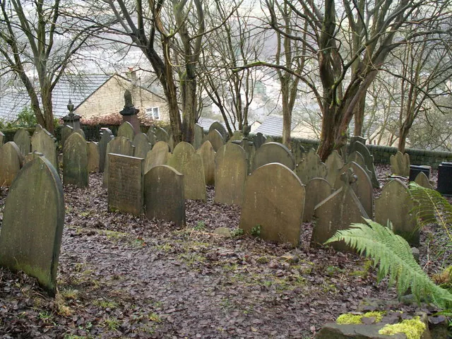
© Phil Champion · Geograph · CC BY-SA 2.0
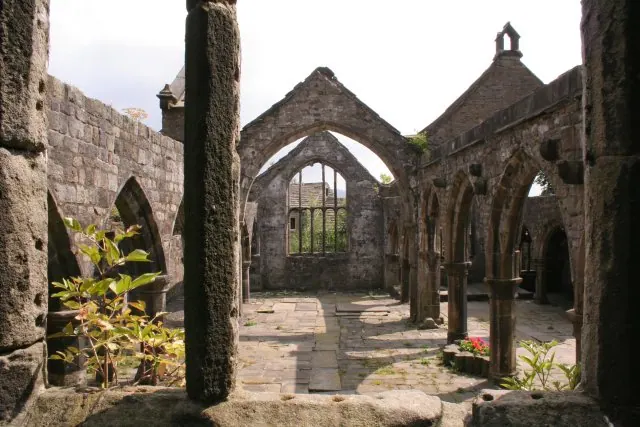
© Mark Anderson · Geograph · CC BY-SA 2.0
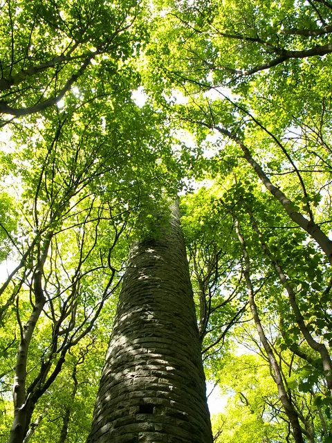
© Phil Champion · Geograph · CC BY-SA 2.0
Images © their respective photographers, licensed under CC BY-SA 2.0 and reused here with attribution. Photographs depict listed buildings, churches and monuments near this settlement and may show neighbouring villages.
Data derived from the Open Domesday project (opendomesday.org), based on the Domesday Book dataset compiled by Professor J.J.N. Palmer and team. The Domesday Book (1086) is in the public domain.
Found an inaccuracy? [email protected]