Crunkly Gill in the Domesday Book (1086)
Crunkly Gill appears in the Domesday Book of 1086, entered under the hundred of Langbaurgh in Yorkshire.
Other Settlements in Langbaurgh
- Acklam
- Airy [Holme]
- Aislaby
- Arnodestorp
- Baldebi
- Barnaby
- Barwick
- Battersby
- Bergolbi
- Berguluesbi
- Blaten [Carr]
- Borrowby
- Breck
- Brotton
The Meaning of the Name
The name Crunkly Gill is of Anglo-Saxon origin. Its final element derives from the Old English word lēah, a woodland clearing. The first element is most likely a personal name or an early descriptive term, now difficult to recover with certainty. Taken together the name probably meant something close to ‘a clearing’.
Remarkably, the name has changed little since 1086, when the Domesday scribes wrote it as Crunkly Gill.
Listed Buildings Near Crunkly Gill
Historic England records 11 listed buildings within about a mile of Crunkly Gill. Listing protects structures of special architectural or historic interest, graded I (exceptional), II* (particularly important) and II.
Grade II*
- Wesleyan Chapel - 0.51 km
- Church of St James the Greater - 0.74 km
Grade II
- Horse House Farmhouse - 0.49 km
- Farm Building to East of Horse House Farmhouse; and Drinking Fountain - 0.51 km
- Stepping Stones Antique Shop, Cottage Attached to Right and Outbuilding to Left - 0.63 km
- Lealholm Bridge - 0.67 km
- Drinking Fountain to North of Lealholm Bridge - 0.7 km
- Lealholm War Memorial - 0.71 km
- Front Walls, Railings and Gates to Prospect House - 1.26 km
- Barn to South-east of Lawns Farmhouse - 1.28 km
- Prospect House - 1.28 km
Nearby Domesday Settlements
Other places recorded in the 1086 survey within a few miles:
Heritage Around Crunkly [Gill]
Photographs of churches, listed buildings and monuments in the vicinity, contributed by volunteers to the Geograph project and reused here under a Creative Commons licence.
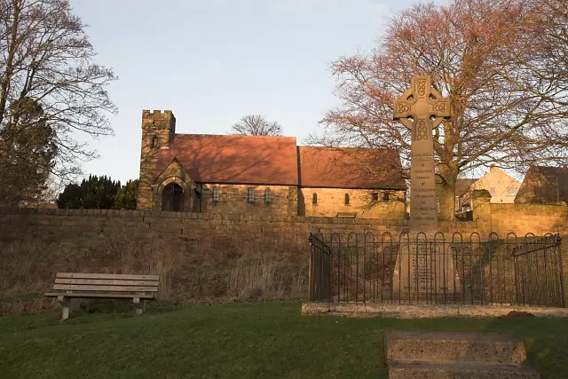
© Colin Grice · Geograph · CC BY-SA 2.0
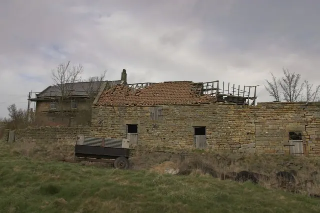
© Colin Grice · Geograph · CC BY-SA 2.0
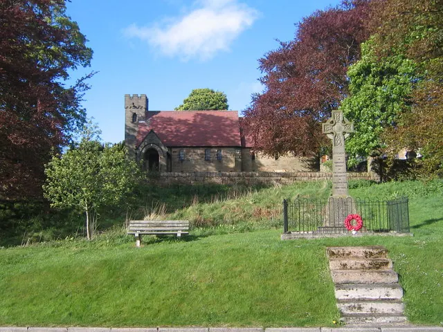
© Philip Barker · Geograph · CC BY-SA 2.0
Images © their respective photographers, licensed under CC BY-SA 2.0 and reused here with attribution. Photographs depict listed buildings, churches and monuments near this settlement and may show neighbouring villages.
Data derived from the Open Domesday project (opendomesday.org), based on the Domesday Book dataset compiled by Professor J.J.N. Palmer and team. The Domesday Book (1086) is in the public domain.
Found an inaccuracy? [email protected]