Croxton in the Domesday Book (1086)
Croxton is named in the Domesday Book, compiled by Norman commissioners in 1086, entered under the hundred of Middlewich in Cheshire.
Other Settlements in Middlewich
- Alsager
- Bostock
- Brereton
- Byley
- Clive
- Congleton
- Davenham
- Davenport
- Goostrey
- Hassall
- Kinderton
- Lach [Dennis]
- Leftwich
- Middlewich
The Meaning of the Name
The name Croxton is of Anglo-Saxon origin. Its final element derives from the Old English word tūn, a farmstead or village. The first element is most likely a personal name or an early descriptive term, now difficult to recover with certainty. Taken together the name probably meant something close to ‘a farmstead’.
Remarkably, the name has changed little since 1086, when the Domesday scribes wrote it as Croxton.
Listed Buildings Near Croxton
Historic England records 12 listed buildings within about a mile of Croxton. Listing protects structures of special architectural or historic interest, graded I (exceptional), II* (particularly important) and II.
Grade II*
- Kinderton Hall - 0.58 km
- Church of St Michael and All Angels - 1.23 km
Grade II
- Ravenscroft Hall - 0.3 km
- Trent and Mersey Canal, Big Lock and Footbridge - 0.78 km
- Trent and Mersey Canal, Canal Milepost at Ngr 698 670 - 0.88 km
- Kinderton Mill - 1.11 km
- Mortuary Chapels Archway and Spire in Middlewich Cemetery - 1.15 km
- Cooke Family Tomb in Middlewich Cemetery Circa 80 Metres South of Mortuary Chapels - 1.22 km
- 28, Wheelock Street - 1.23 km
- 10, Hightown - 1.24 km
- Sundial South of West Bay of Church of St Michael and All Angels - 1.25 km
- Gates and Railings to Middlewich Cemetery - 1.26 km
Scheduled Monuments Near Croxton
Scheduled monuments are nationally important archaeological sites given legal protection. 3 lie within roughly a mile of Croxton:
- Kinderton Hall moated site, two annexes, five fishponds, garden and prospect mound - 0.49 km
- King Street Roman fort, Harbutt’s Field - 0.63 km
- Murgatroyd’s Brine Works - 1.49 km
Croxton Today
Today Croxton lies within the administrative area of Byley.
Nearby Domesday Settlements
Other places recorded in the 1086 survey within a few miles:
Heritage Around Croxton
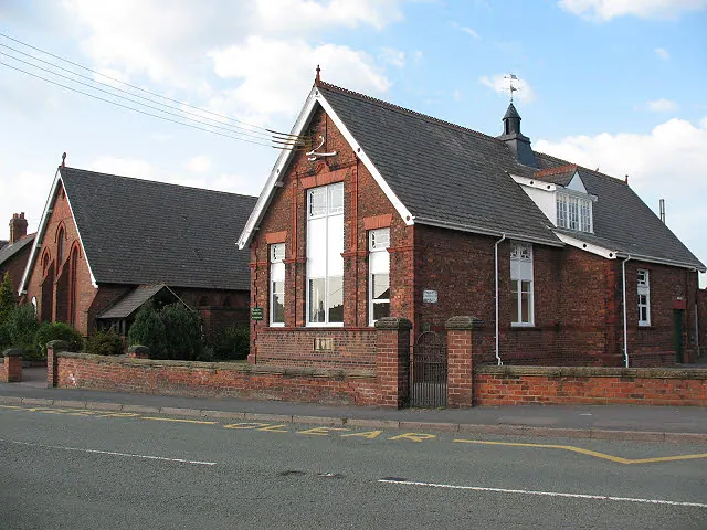
Photographs of churches, listed buildings and monuments in the vicinity, contributed by volunteers to the Geograph project and reused here under a Creative Commons licence.
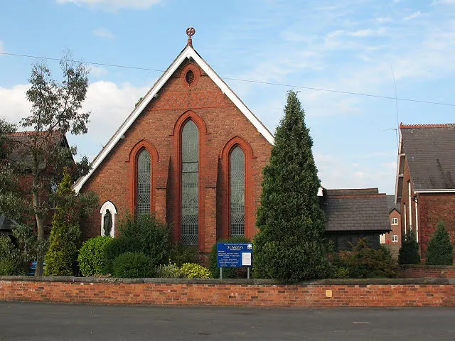
© Stephen Craven · Geograph · CC BY-SA 2.0
© Stephen Craven · Geograph · CC BY-SA 2.0

© Ian Warburton · Geograph · CC BY-SA 2.0
Images © their respective photographers, licensed under CC BY-SA 2.0 and reused here with attribution. Photographs depict listed buildings, churches and monuments near this settlement and may show neighbouring villages.
Data derived from the Open Domesday project (opendomesday.org), based on the Domesday Book dataset compiled by Professor J.J.N. Palmer and team. The Domesday Book (1086) is in the public domain.
Found an inaccuracy? [email protected]